California Complete
Lassen Volcanic & Redwood National Parks
California has more National Parks than any other state, with a total of nine. This summer, we finally checked off the last two on our list, completing our California National Park collection with Lassen Volcanic and Redwood National Parks, both located in the northern part of the state.
Just as the name implies, Lassen Volcanic National Park is full of geologic formations created by past volcanic activity. It’s one of the few places in the world where all four major types of volcanoes can be found: plug dome, shield, cinder cone, and stratovolcano. And the area is still very much alive with volcanic activity, including boiling mud pots, fumaroles, and hot springs. On our first day, we tackled the Cinder Cone Trail, a 4-mile loop with about 850 feet of elevation gain. The hike starts in beautiful woods near Butte Lake, with about 1.2 miles of relatively easy walking before reaching the base of Cinder Cone.
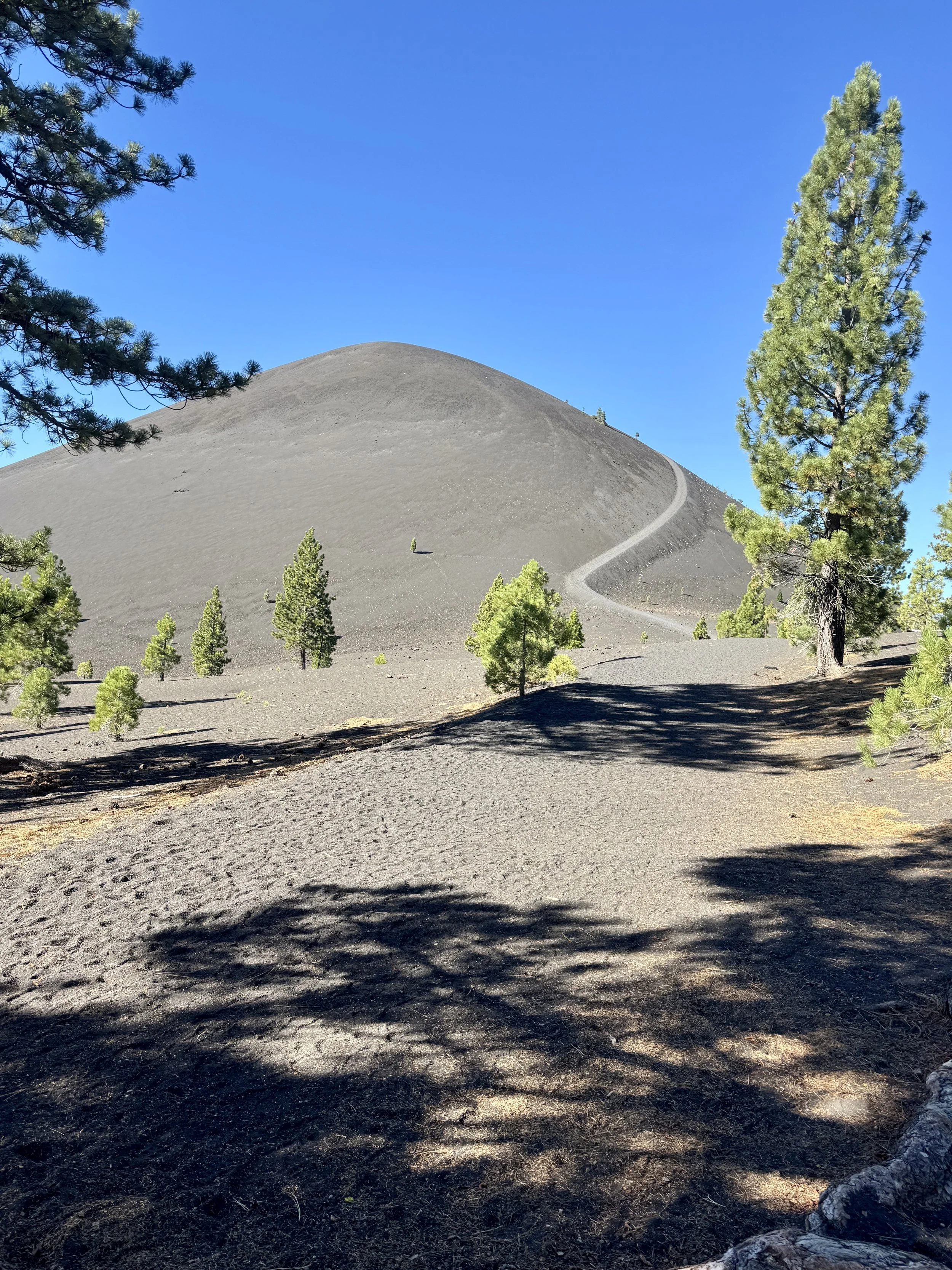
Cinder Cone
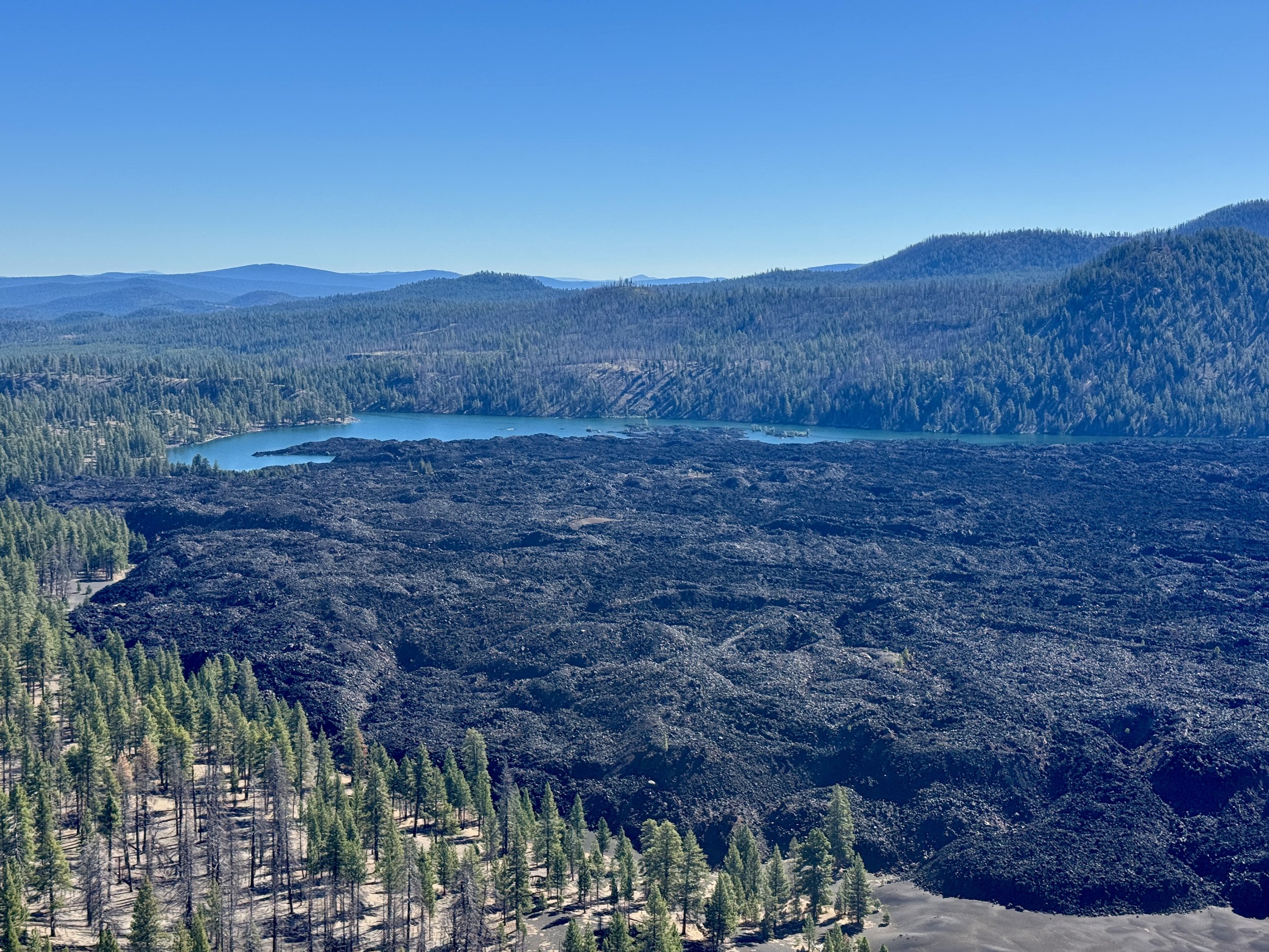
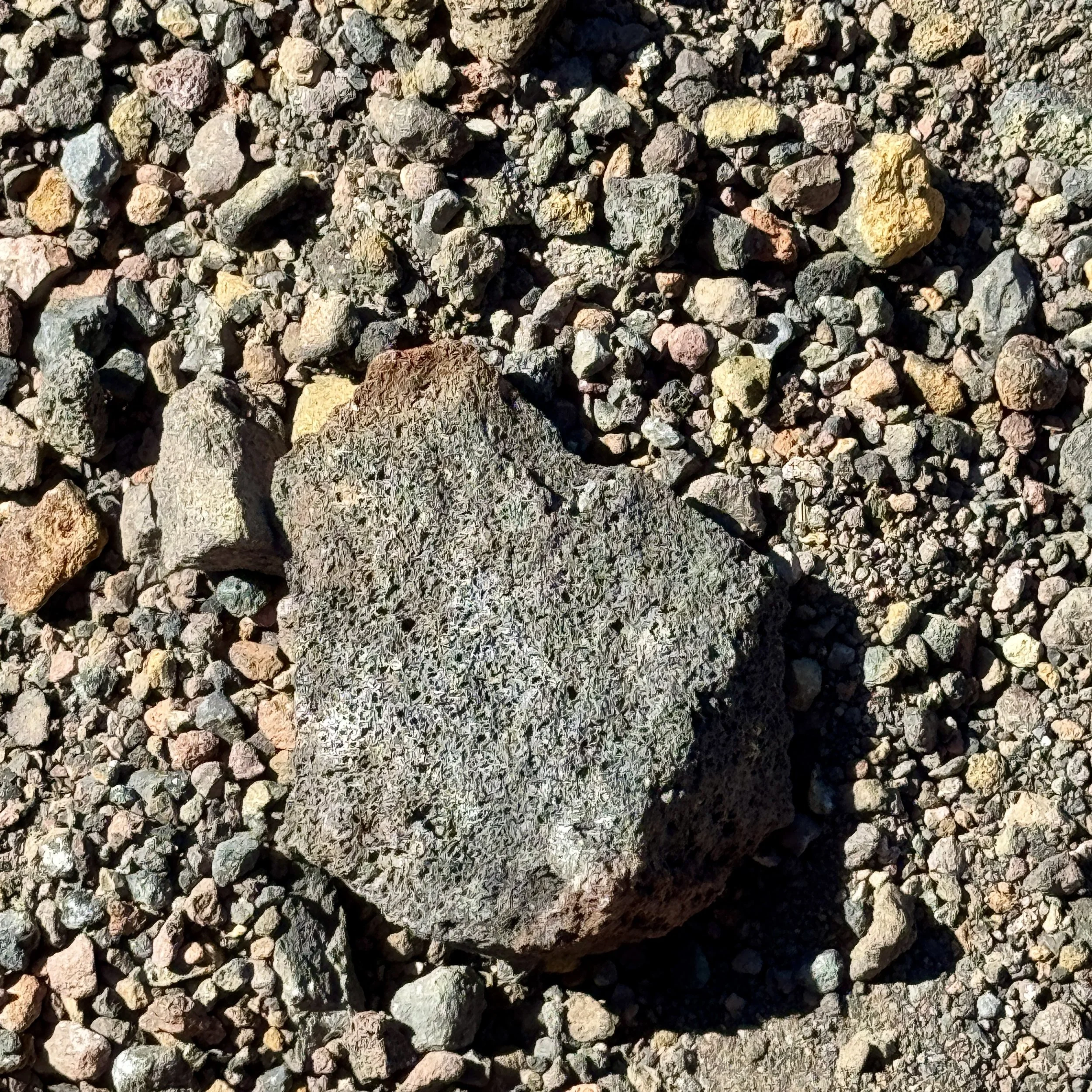
From there, the trail splits, and we chose to head left and climb the cone. It’s a fairly steep climb, made even more challenging because the entire trail is covered in loose cinders. With every step forward, you slide back a few inches, making the climb feel like it takes forever! We took it slow, stopping a few times to catch our breath and lower our heart rates, and eventually made it to the top. The effort was definitely worth it. From the summit, we could look down into the crater of Cinder Cone and take in the incredible views.
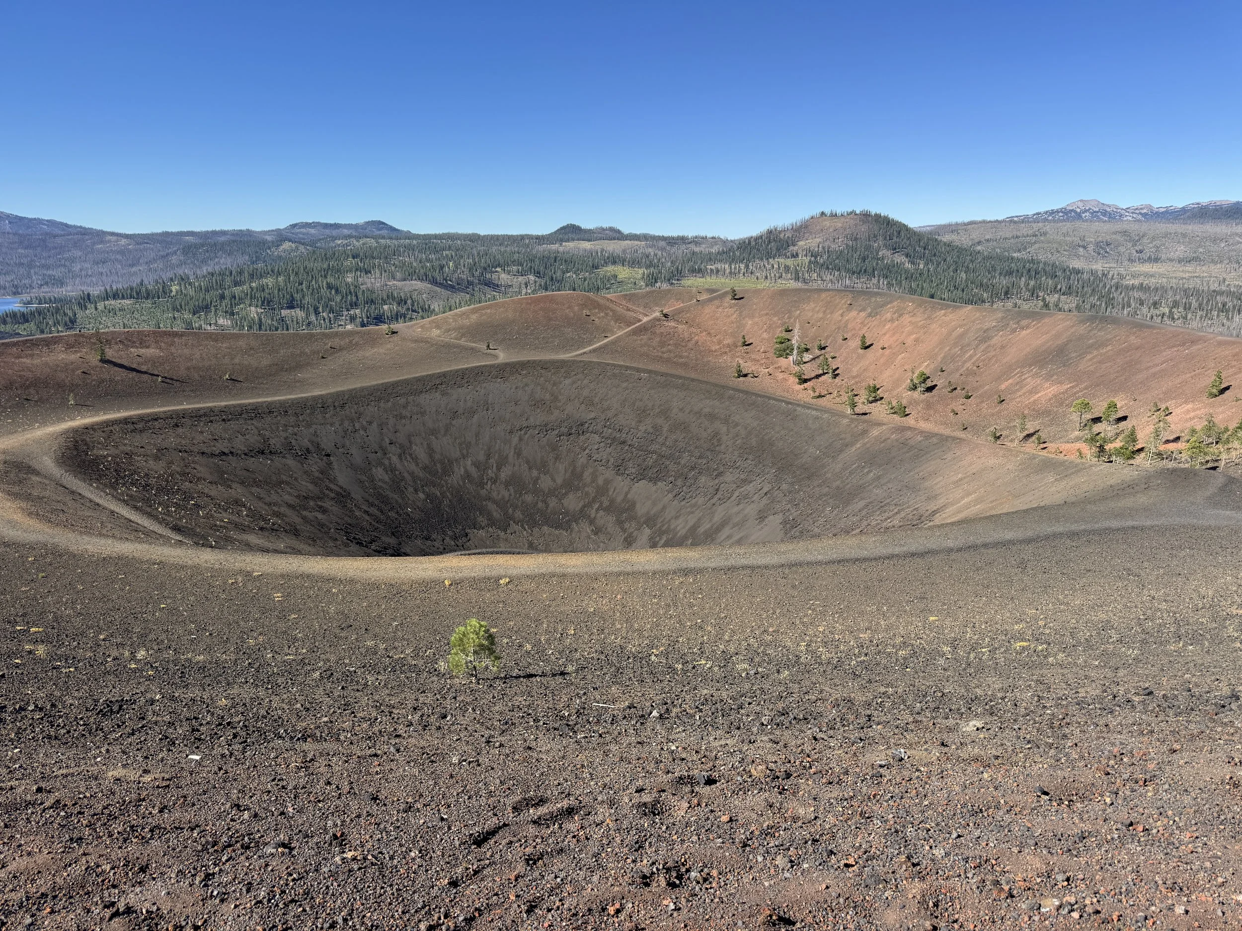
Cinder Cone crater
The trail continues around the top, and we were able to descend on a trail on the backside of the cone. From there, we could see the colorful Painted Dunes, and as we continued around and down, the views of the dunes became even better. If you don't want to make the climb up Cinder Cone, you can take the trail to the right at the fork and hike around the far side of the base, where you can still get some great views of the Painted Dunes.
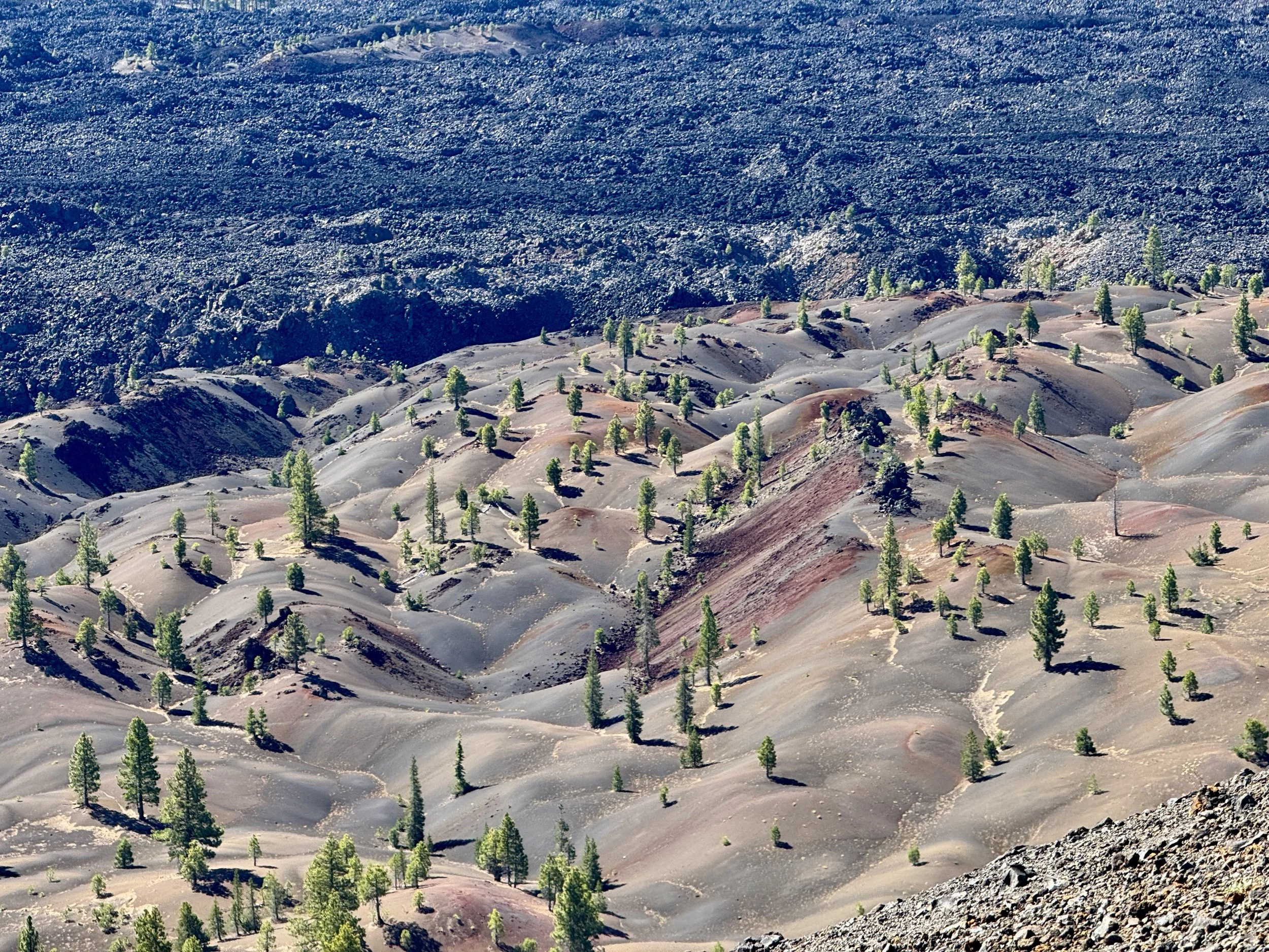
Painted Dunes
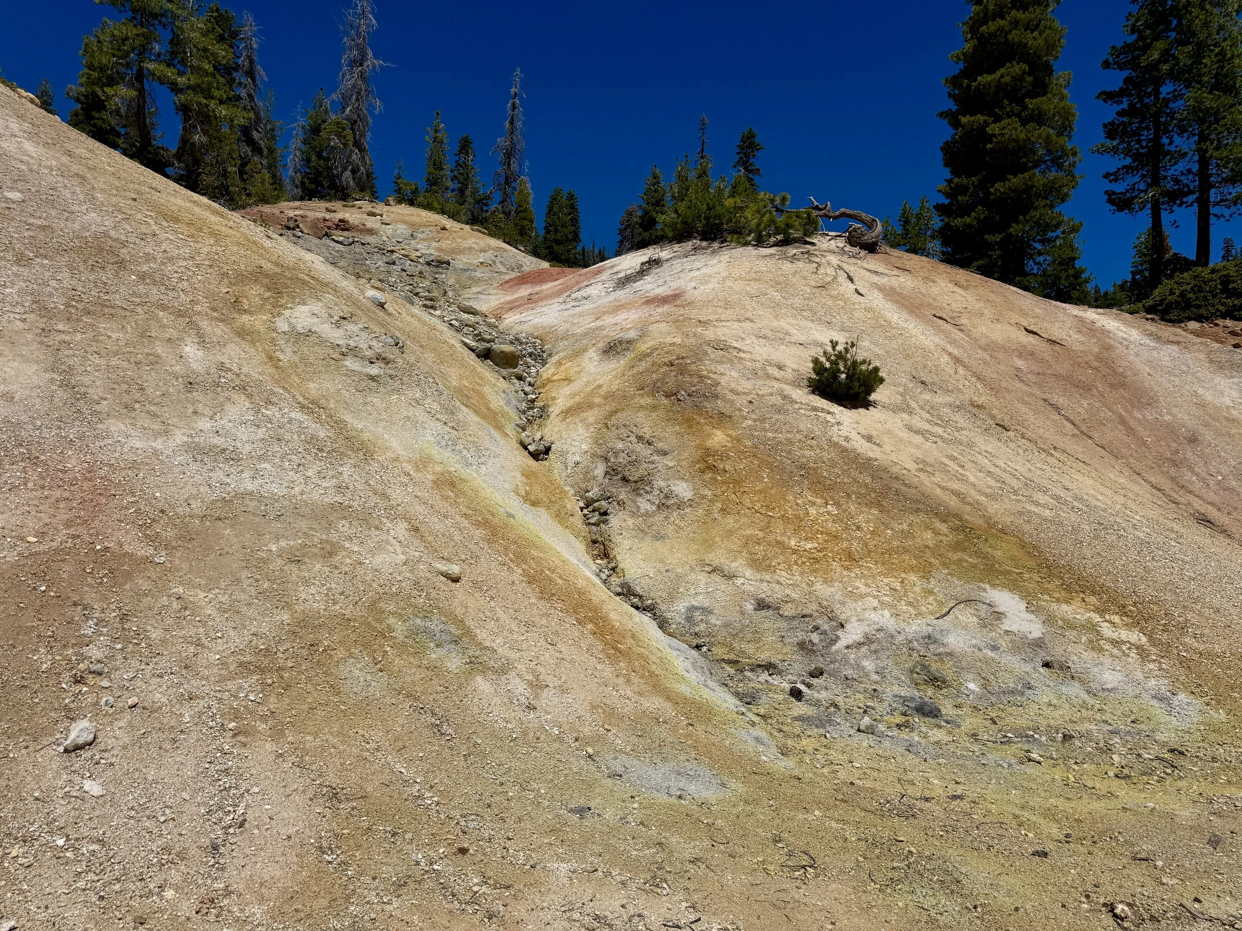
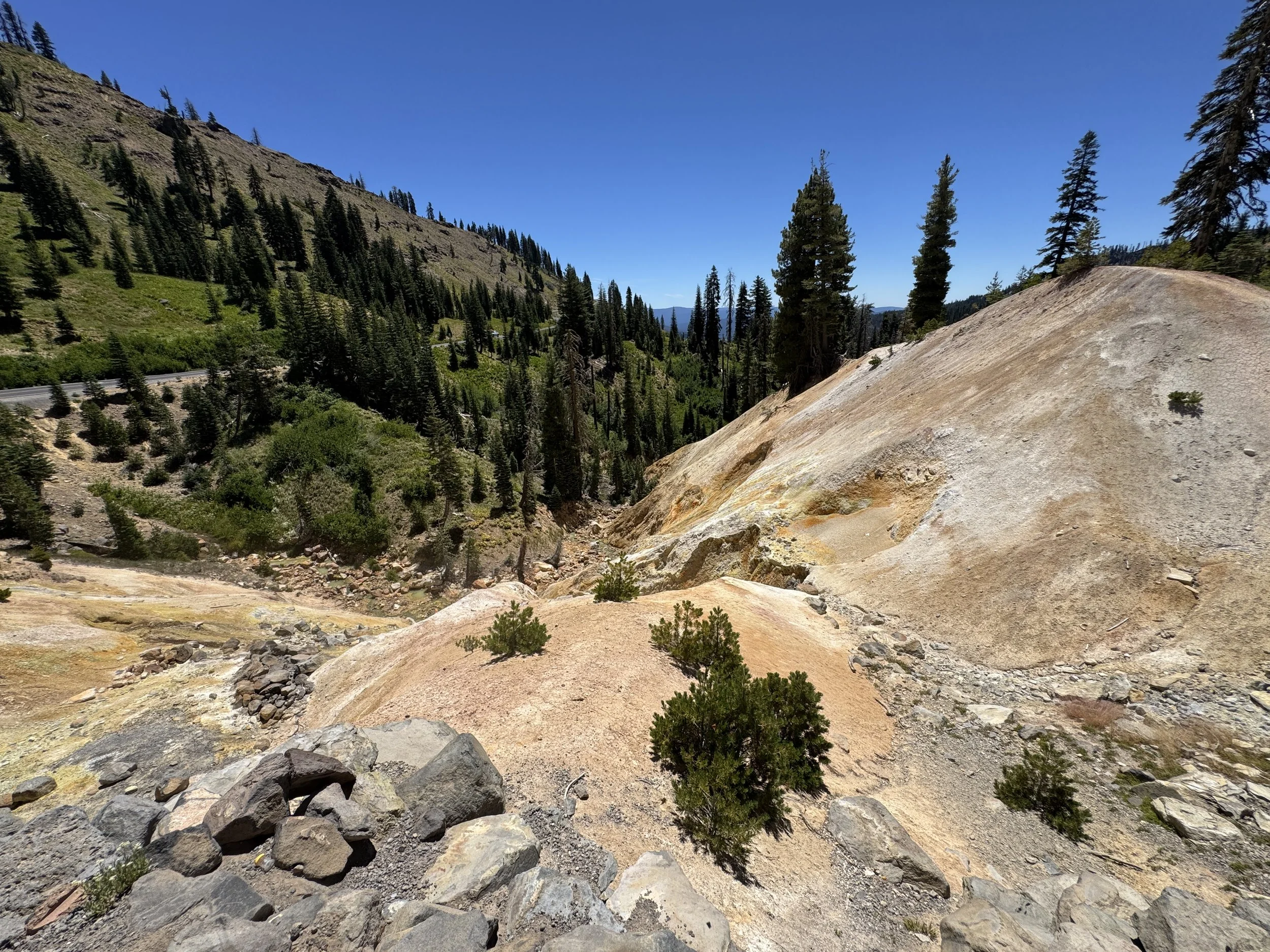
On another day, Steve tackled Lassen Peak, a plug dome volcano. His hike was about 5 miles round trip with nearly 2,000 feet of elevation gain. As with any mountain summit, the views from the top were spectacular and well worth the effort. We also spent some time driving the main park road, stopping at Sulphur Works to check out the hydrothermal area and mud pots. It's an easy stop right along the main road with a paved sidewalk, making it accessible without much hiking. The landscape looks almost otherworldly, with vibrant colors, strange smells, clouds of steam, and bubbling, boiling mud—a pretty amazing reminder that Lassen is still an active volcanic area.
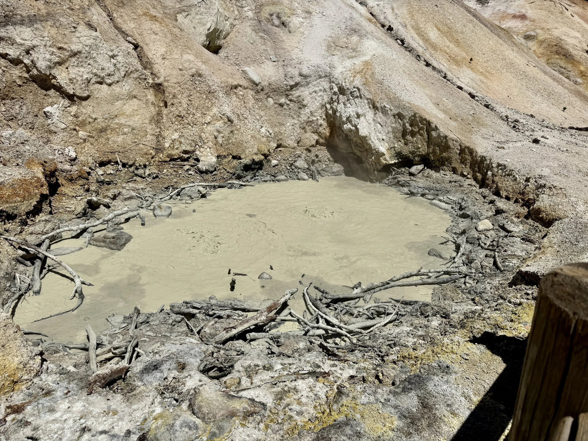
mudpot
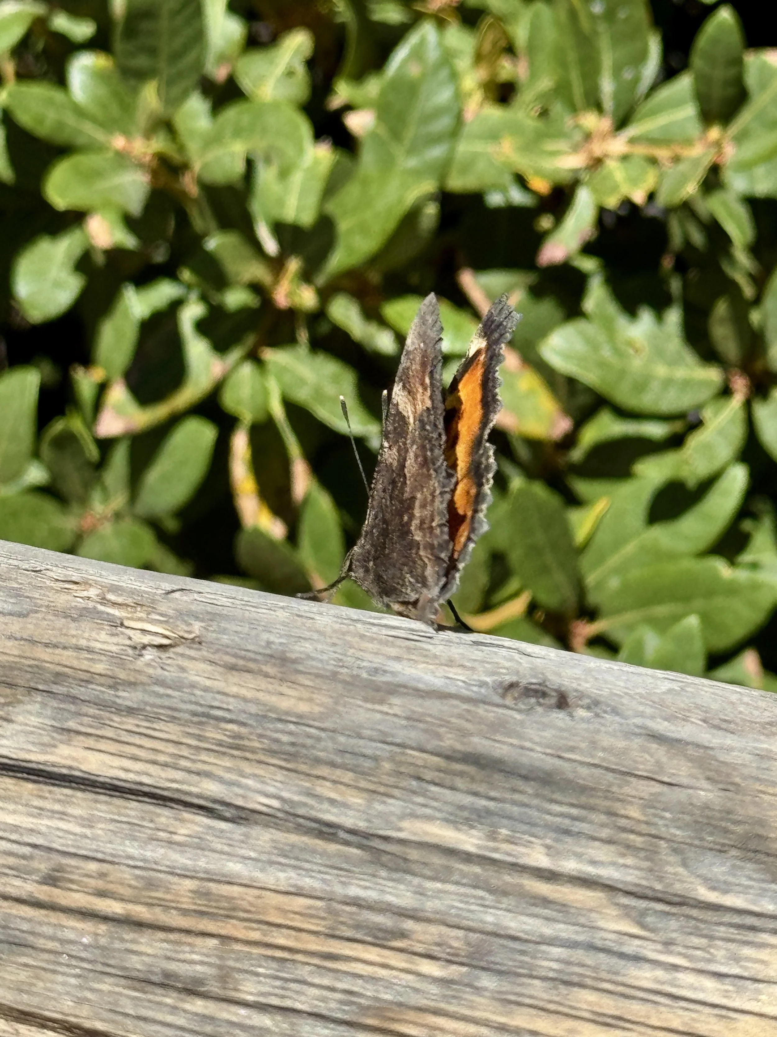
One of the most unexpected and magical experiences we had at Lassen Volcanic was witnessing the migration of California tortoiseshell butterflies. These relatively small butterflies, with wingspans of about 1¼ to 2¾ inches, are striking orange with large black spots when their wings are open. When they close their wings, however, they take on a completely different look, with a grayish-brown mottled pattern that resembles a dead leaf and helps camouflage them from predators. During the summer months, these butterflies migrate to higher elevations, and we were lucky enough to witness thousands of them along our travels. Unlike the famous monarch migrations, they didn't form one continuous cloud of butterflies. Instead, there would be stretches where we saw only a few, followed by sudden bursts of activity as dozens seemed to appear at once, flying, landing, and taking off all around us. It was completely unexpected and truly magical to witness.
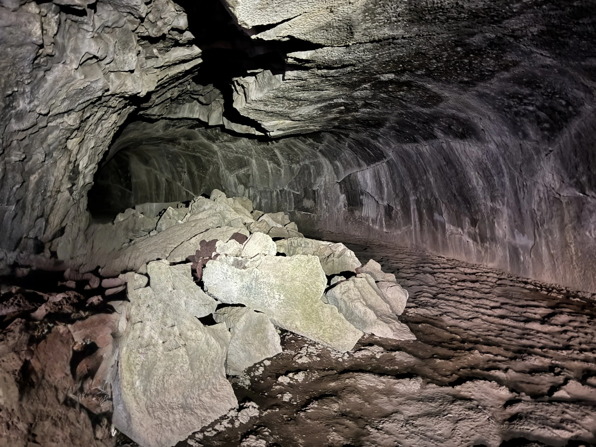
While we were in the area, we took a day to explore outside the park. We started with a morning stop at Subway Cave, a lava tube just north of Lassen that you can actually walk through. It’s a short walk from the parking lot to a set of stairs leading down into the cave. The lava tube winds for about a quarter mile, with smooth basalt walls and a very uneven floor. Be sure to bring a flashlight because it is completely dark inside! At the far end of the tunnel, another set of stairs leads back to the surface and a trail that loops around to the parking area. We arrived early and were lucky enough to have the cave almost entirely to ourselves.
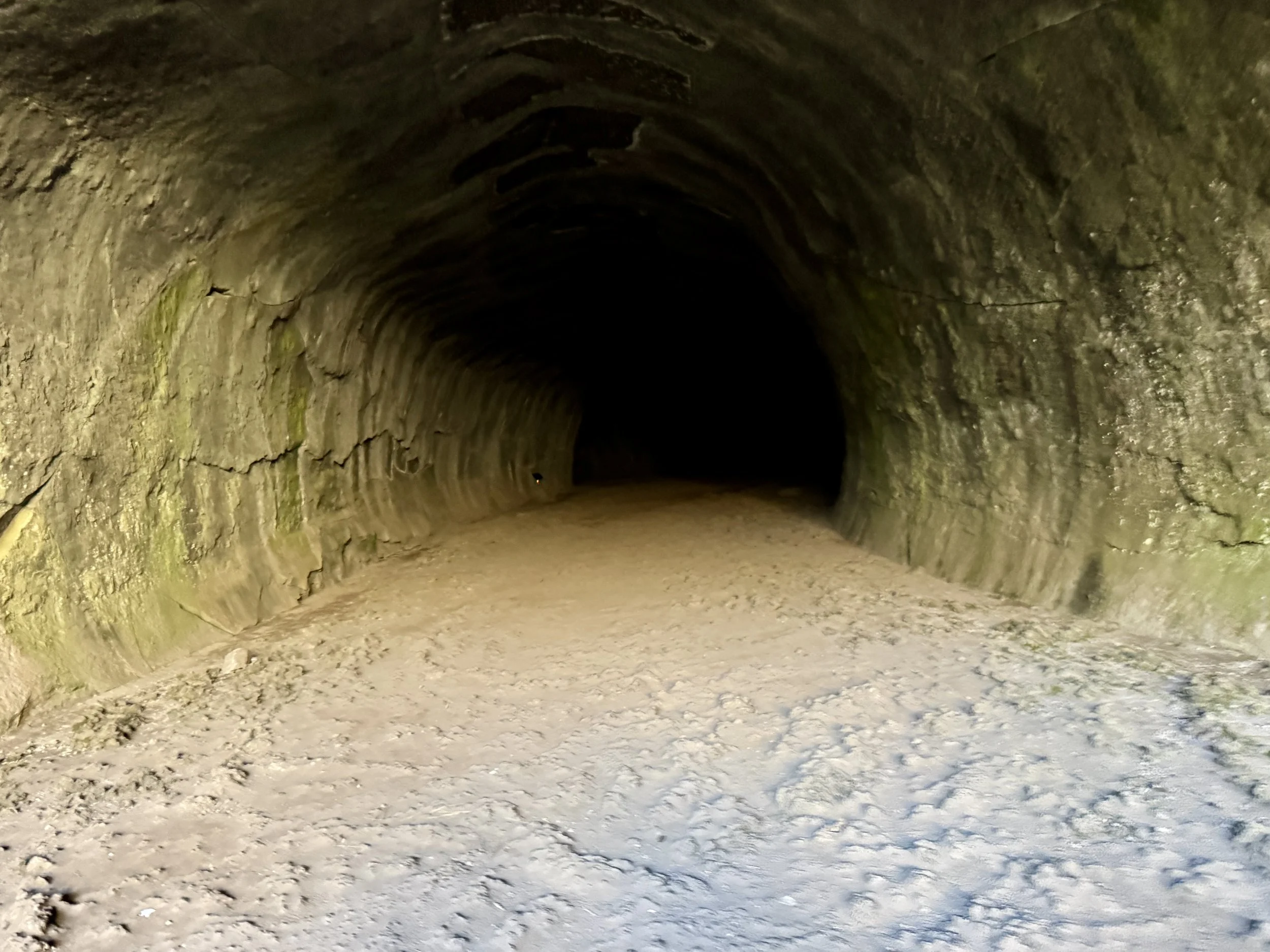
Subway Cave lava tube
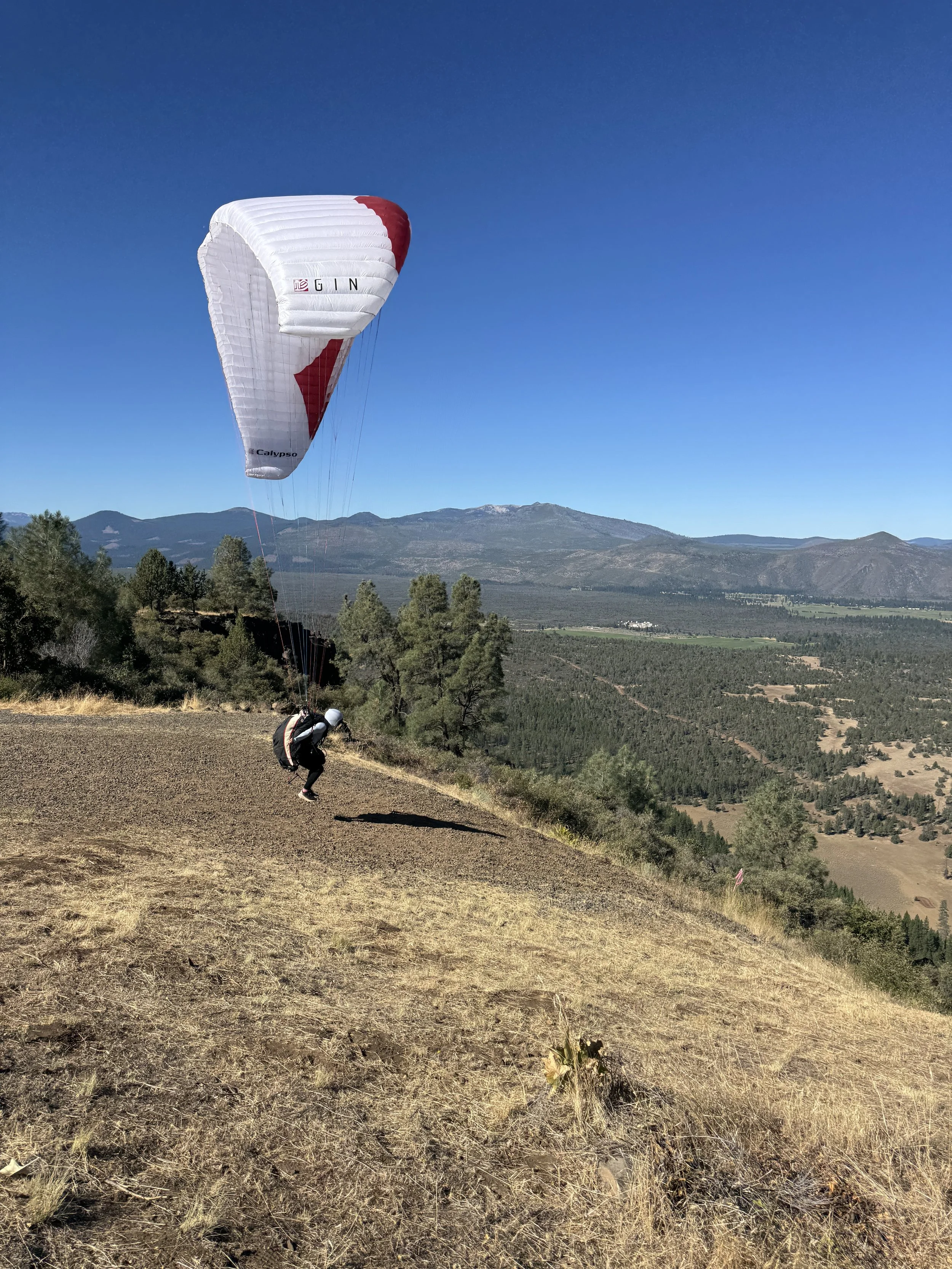
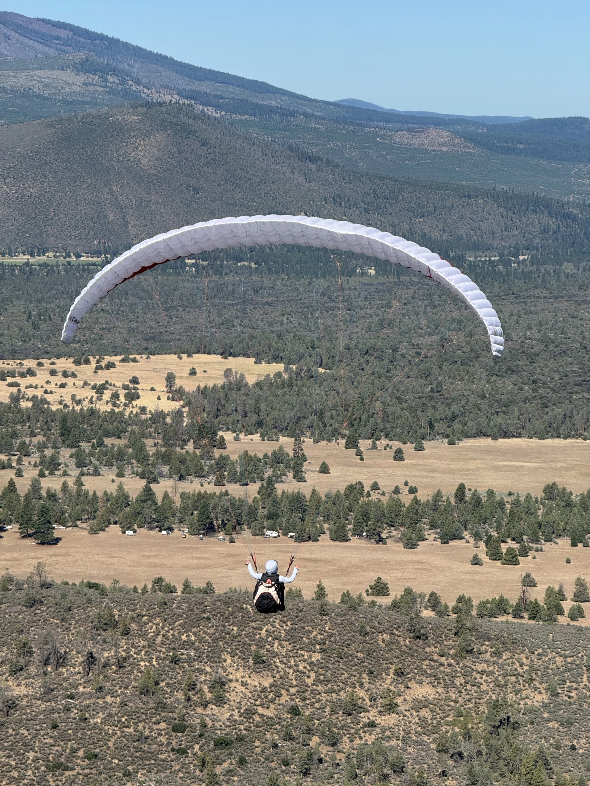
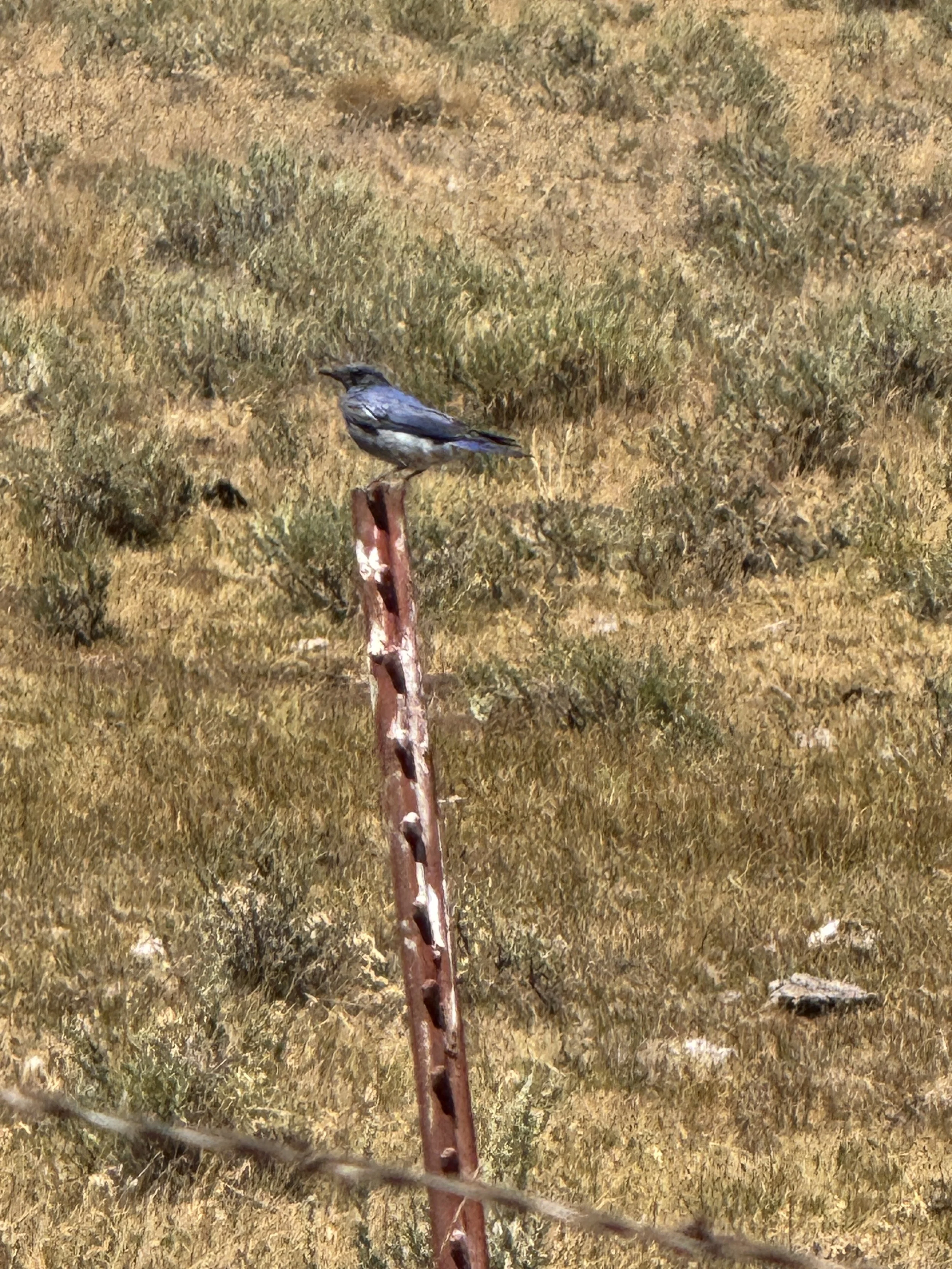
We spent the rest of the day exploring the area’s forest roads and enjoying the scenery. One of the things we love about taking the back roads—you never know what you’re going to find. On this drive, we got to watch a group of paragliders launching into the sky, spotted a mama bear with two cubs, and saw some beautiful birds, including a mountain bluebird and an American kestrel.
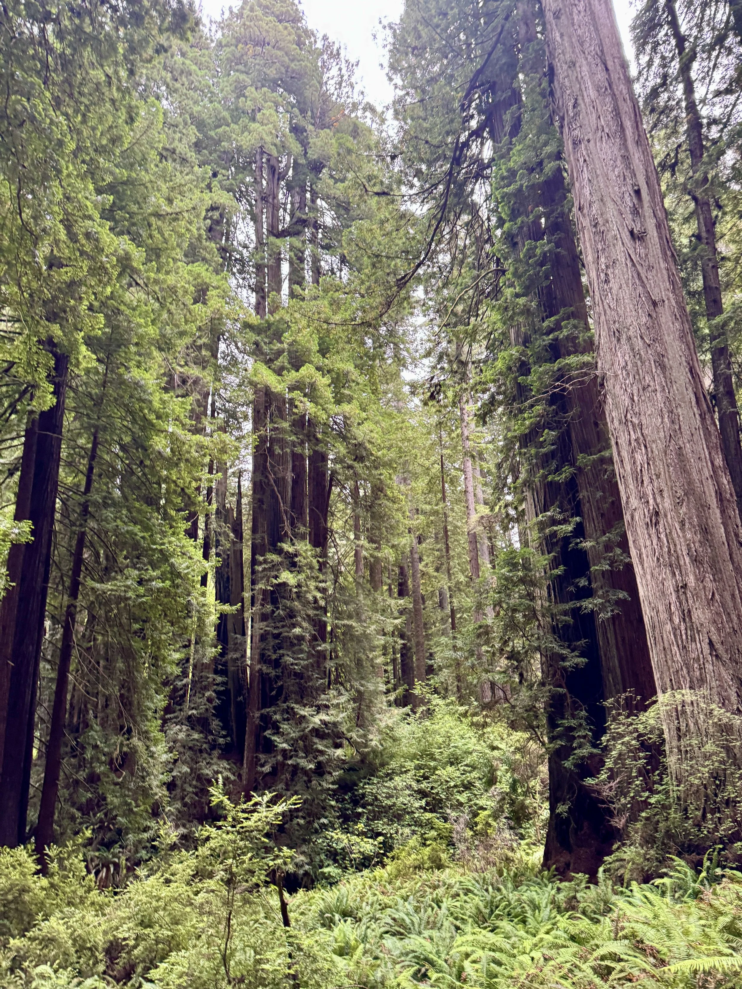
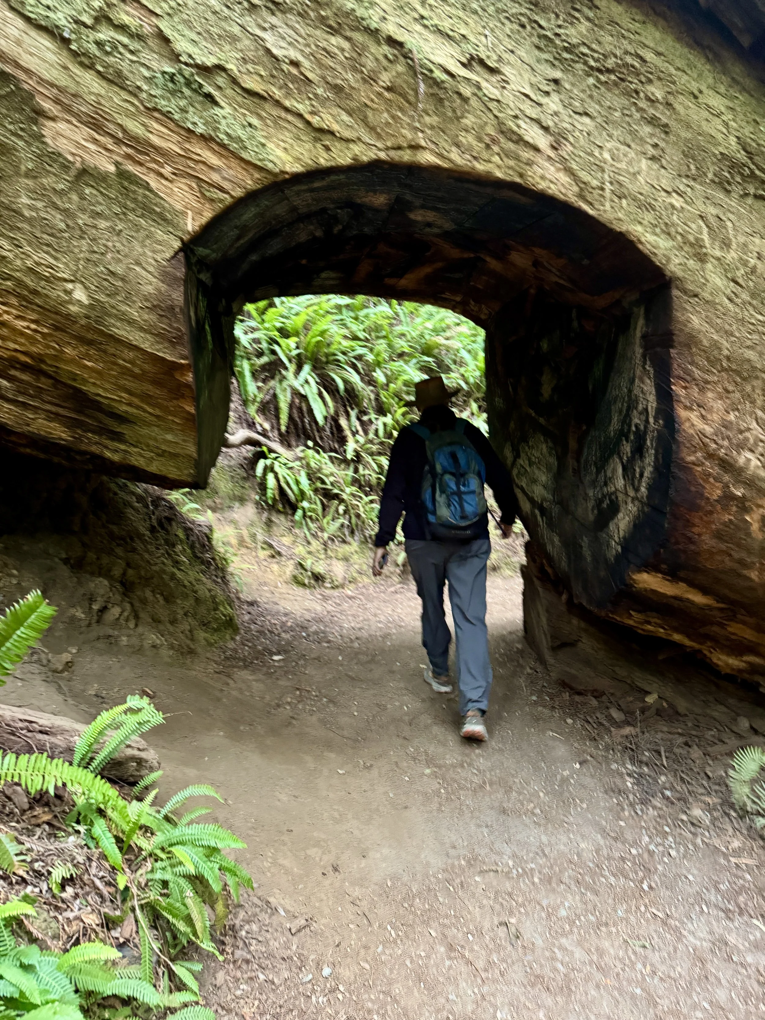
Redwood National and State Parks, the land of the tall trees, was our final California stop. It’s hard to even describe the magnificence of these trees. We did a 5-mile hike through the forest near the Prairie Creek Visitor Center, and for such enormous trees, they grow surprisingly close together, creating a dense woodland filled with large ferns covering the forest floor. Looking across the forest, all you can see are ferns and massive tree trunks, and to see the tops of the trees you have to tilt your head way, way back. The whole setting feels ancient, almost like walking through a Jurassic-era forest, and it has a truly otherworldly feel.
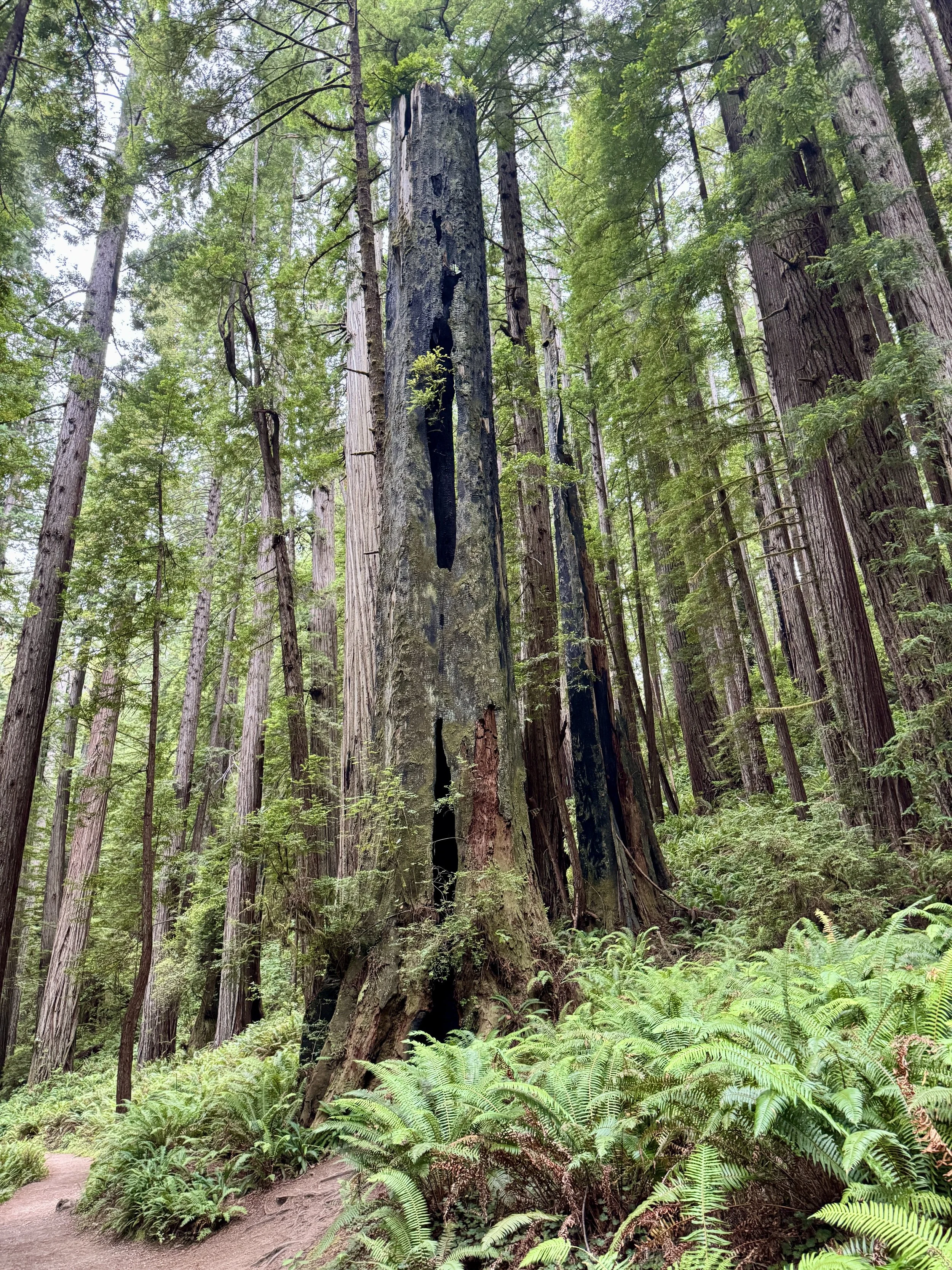
Redwood forest
Our trail took us past the Big Tree, which stands 286 feet tall and is estimated to be about 1,500 years old, before eventually bringing us back to the visitor center. To make the experience even more magical, we came across two elk along the gravel road where the trail crossed. These majestic animals looked completely at home among the towering trees.
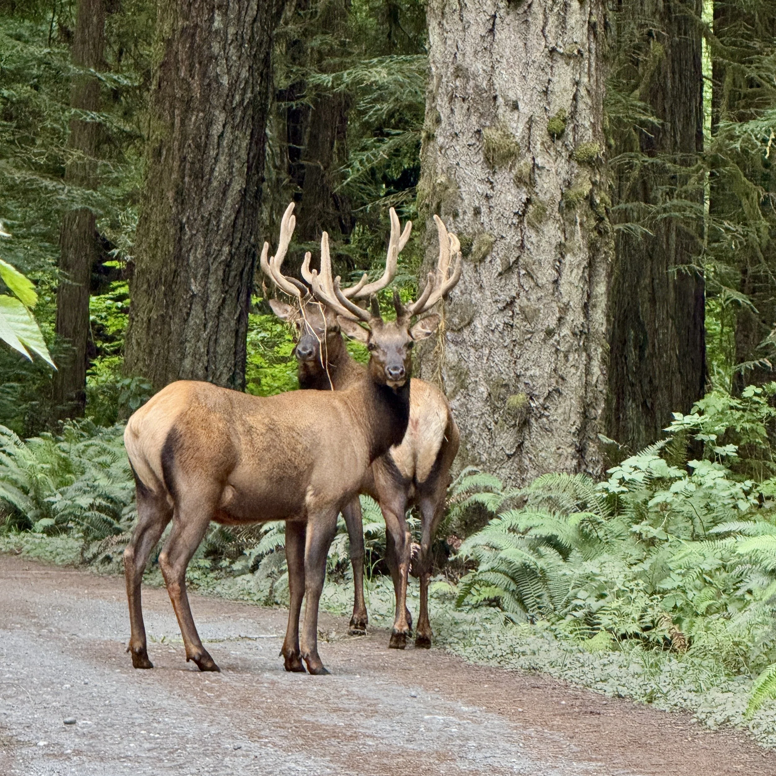
Elk
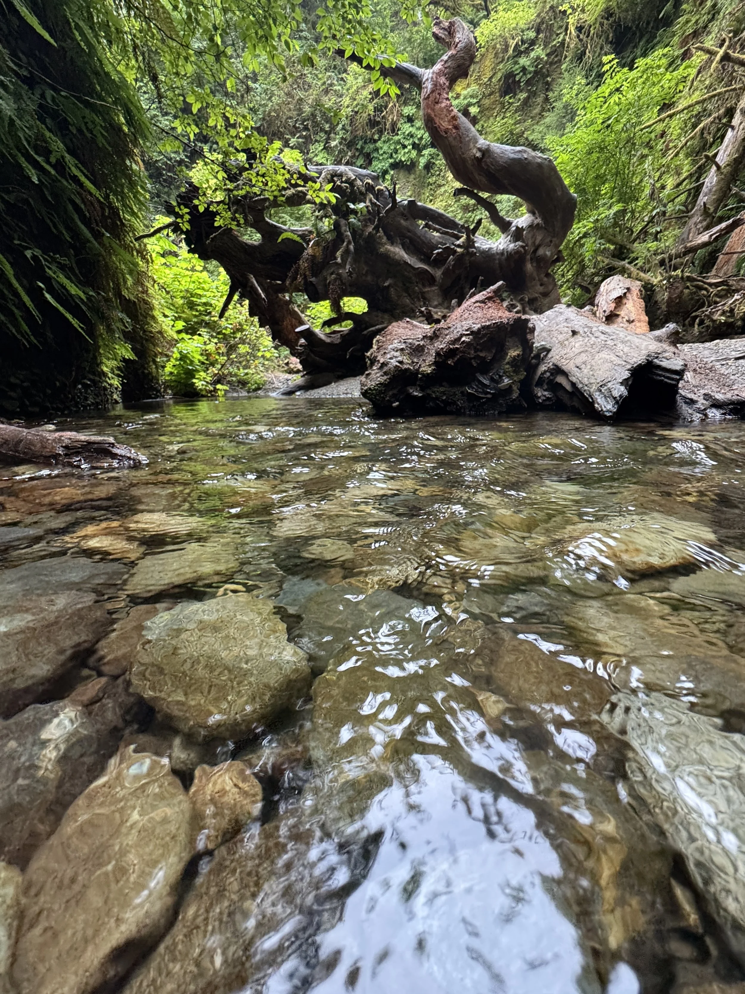
Another morning, we visited Fern Canyon, which requires a parking reservation. The canyon itself is beautiful, with steep walls covered in ferns, but the hike up the creek is very short—and currently even shorter because of work farther upstream. It is also extremely popular, making it difficult to really enjoy the experience with the crowds.
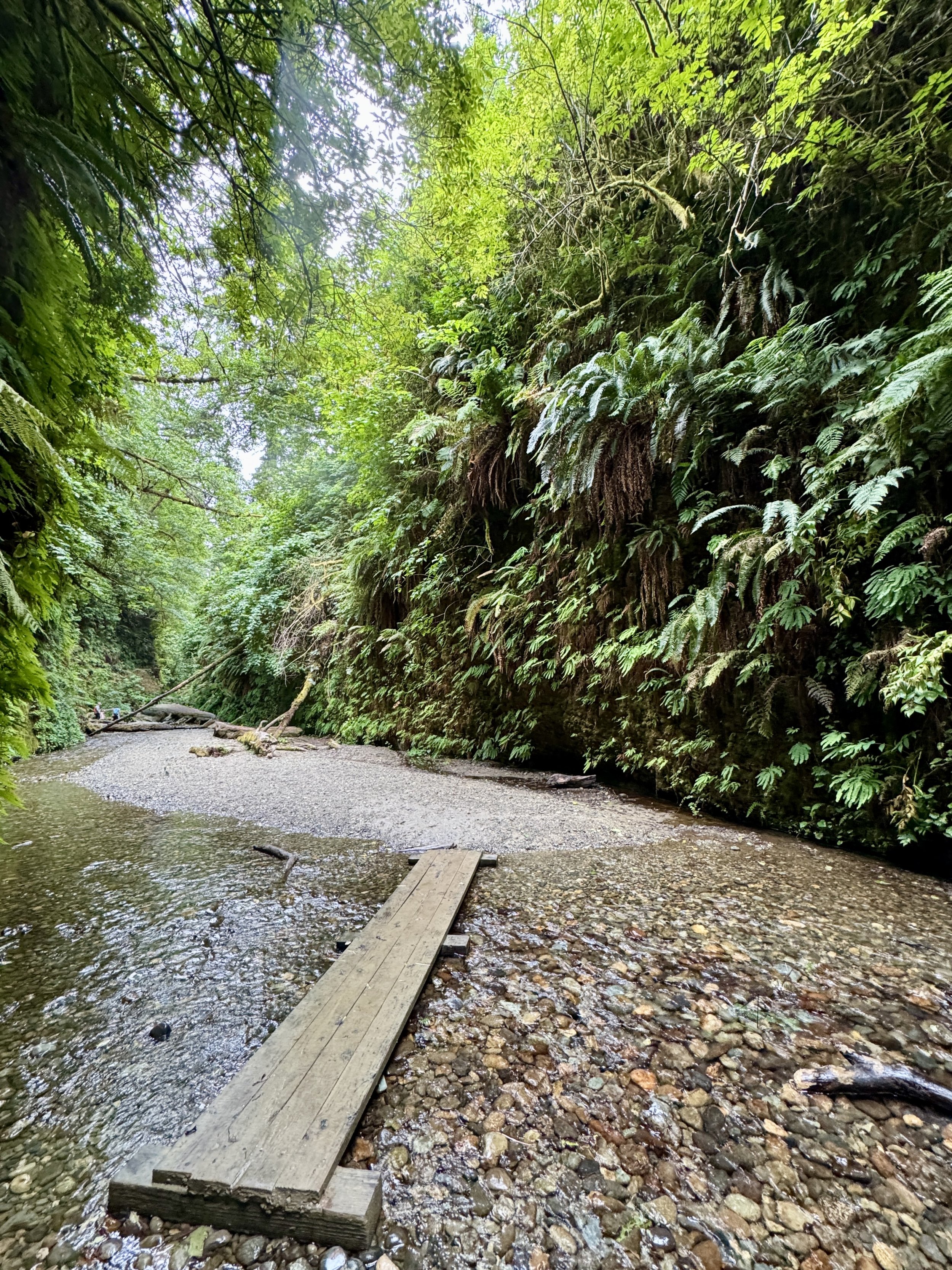
Fern Canyon
We also took two scenic drives, Bald Hills Road and Howland Hill Road. Bald Hills Road takes you away from the redwood forest out into sweeping views of hills, valleys, and open prairies. It’s a winding dirt and gravel road that takes several hours to drive to the end and back, but it was a great way to escape the crowds for an afternoon. Howland Hill Road is almost the complete opposite. This 10-mile dirt road winds through the redwood forest in the northern part of the park, passing several popular sights and trailheads along the way, so it can get quite busy. In several places, the road is barely wider than a car, with towering redwoods rising on both sides. Thankfully, you can loop back to the main road rather than having to retrace the entire narrow, winding route.
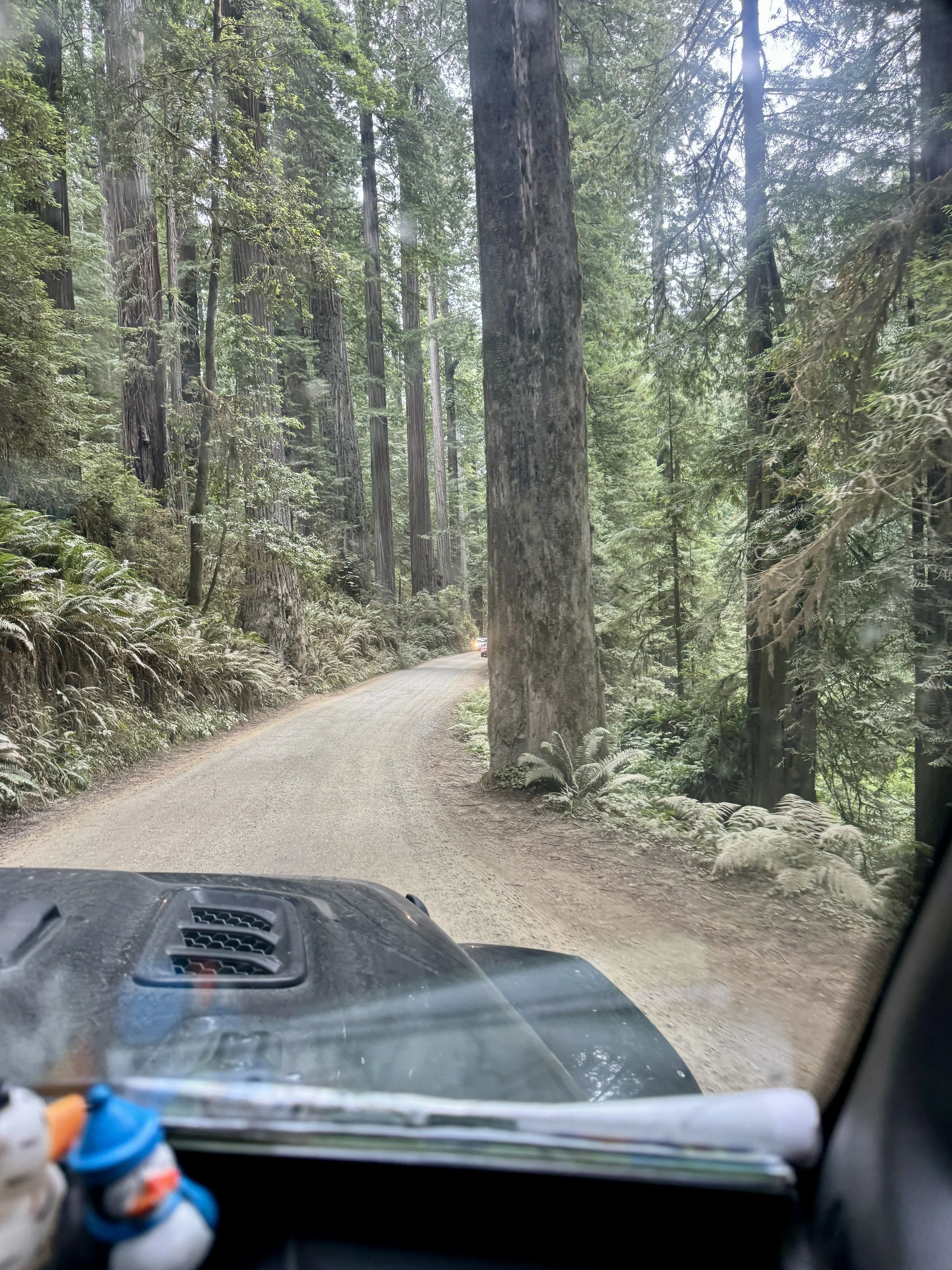
Driving Howland Hill road
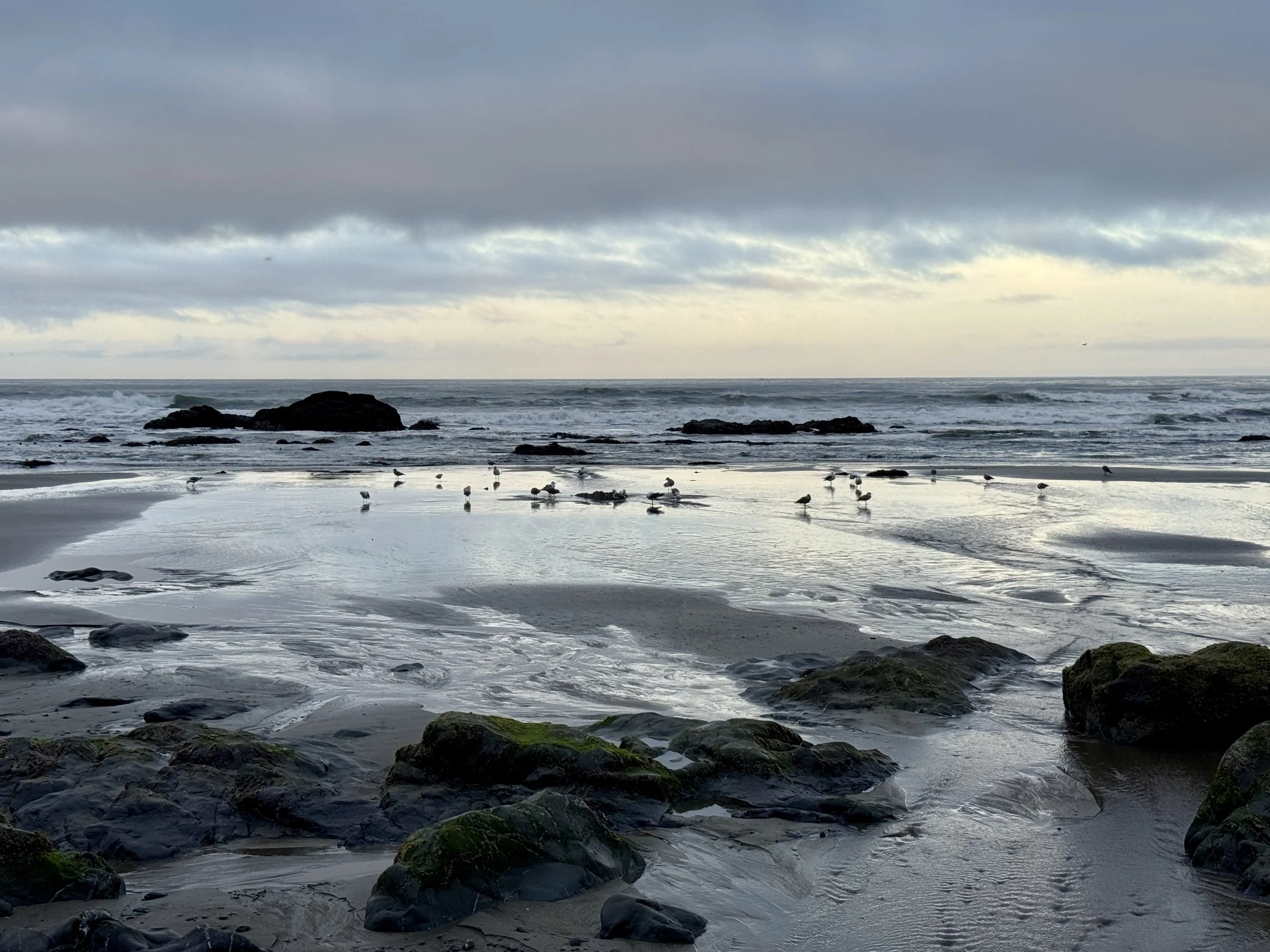
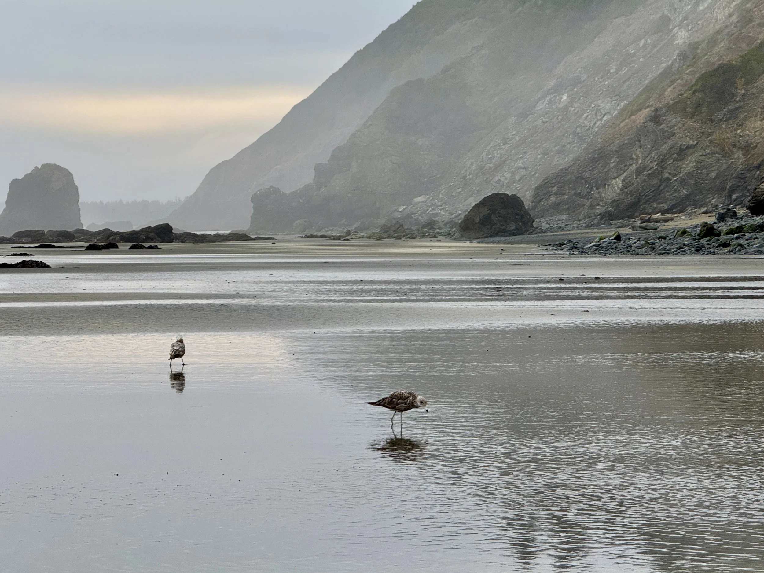
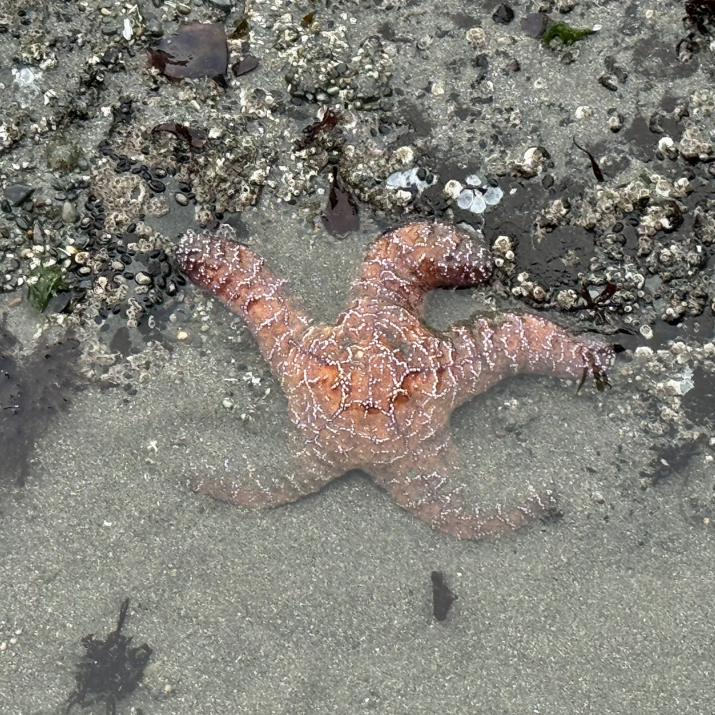
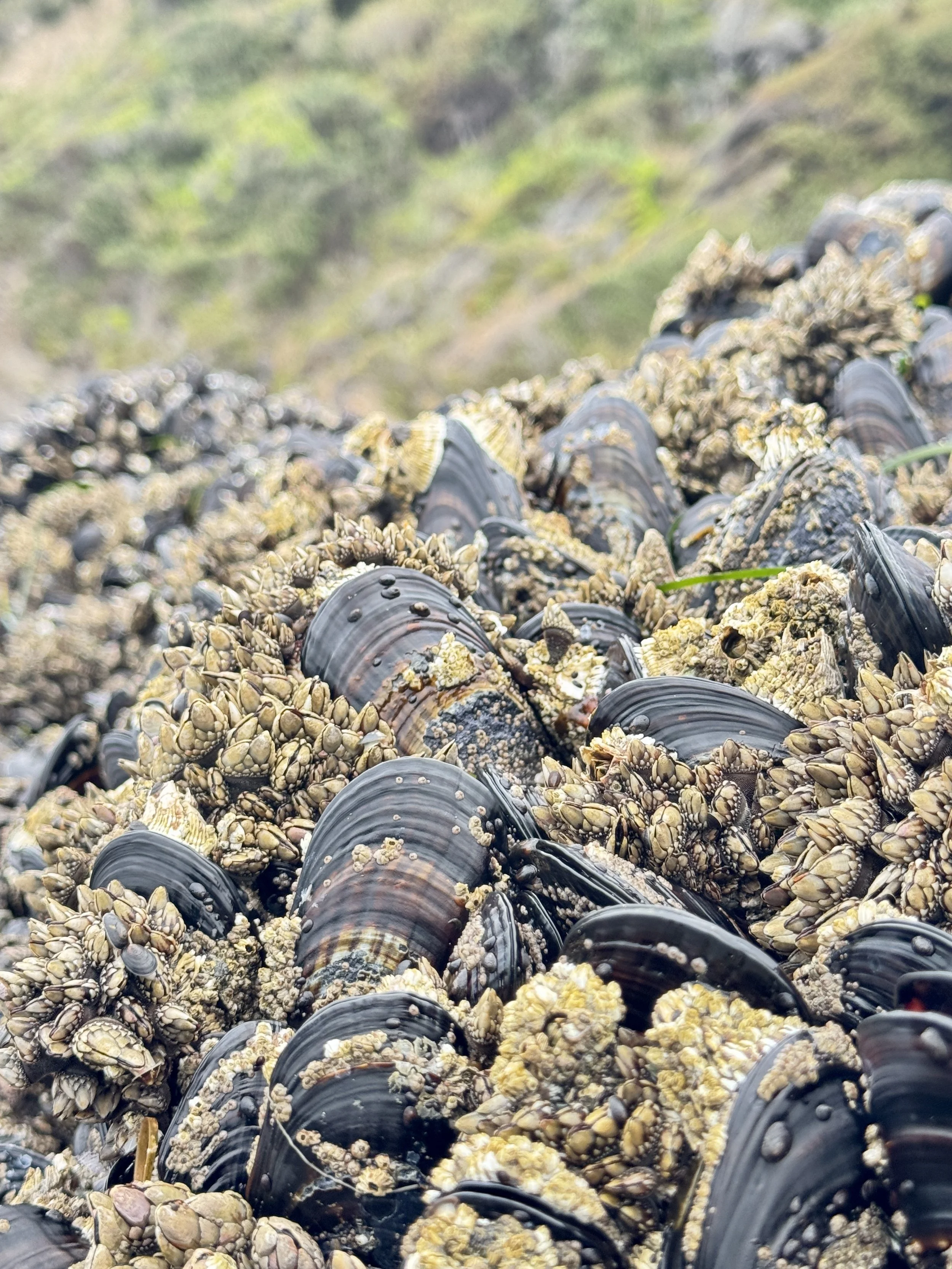
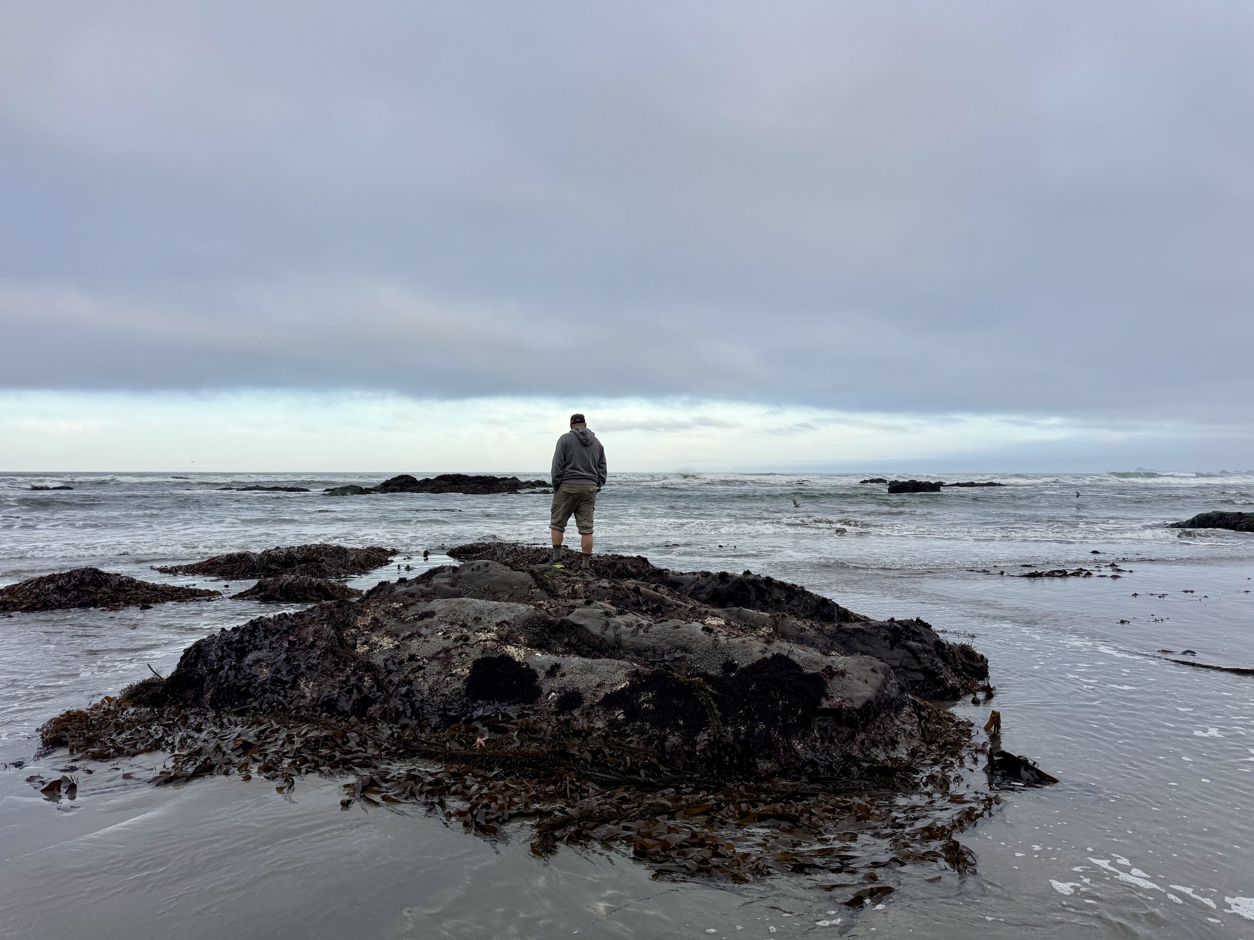
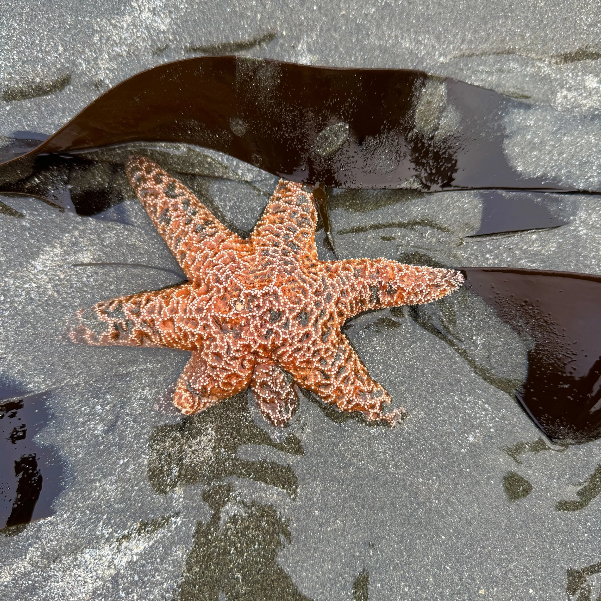
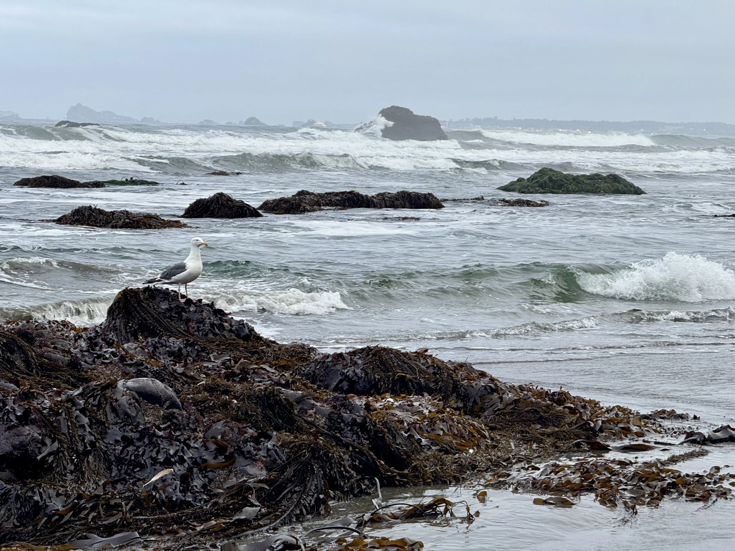
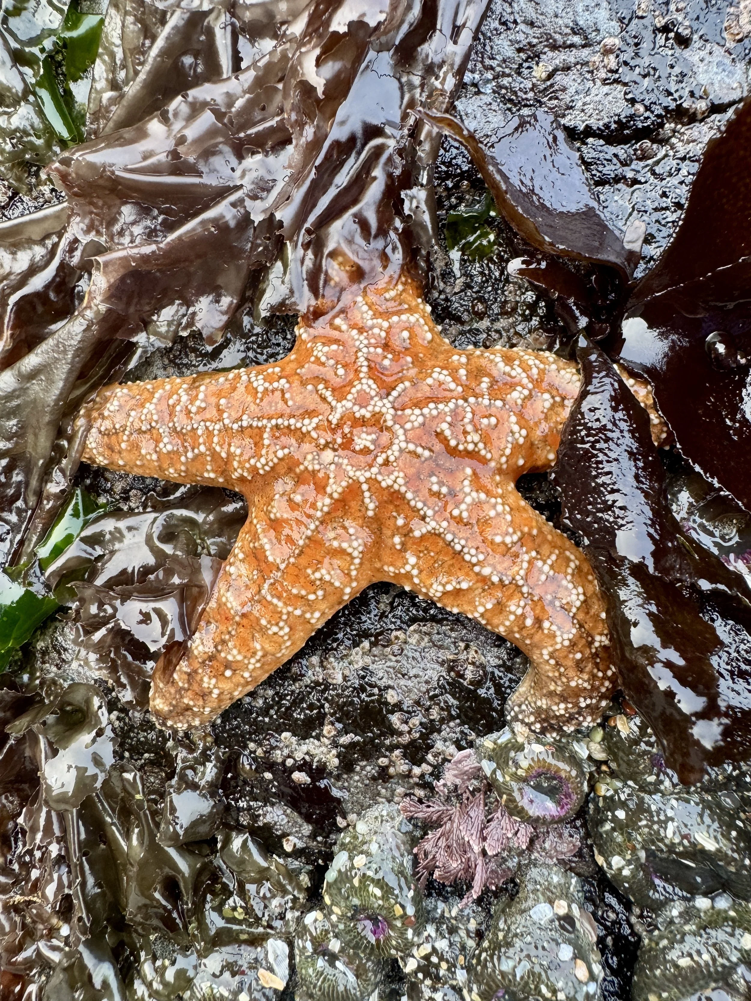
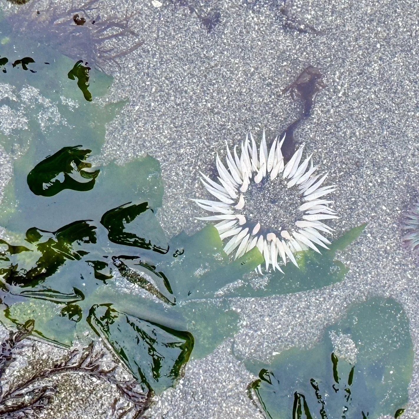
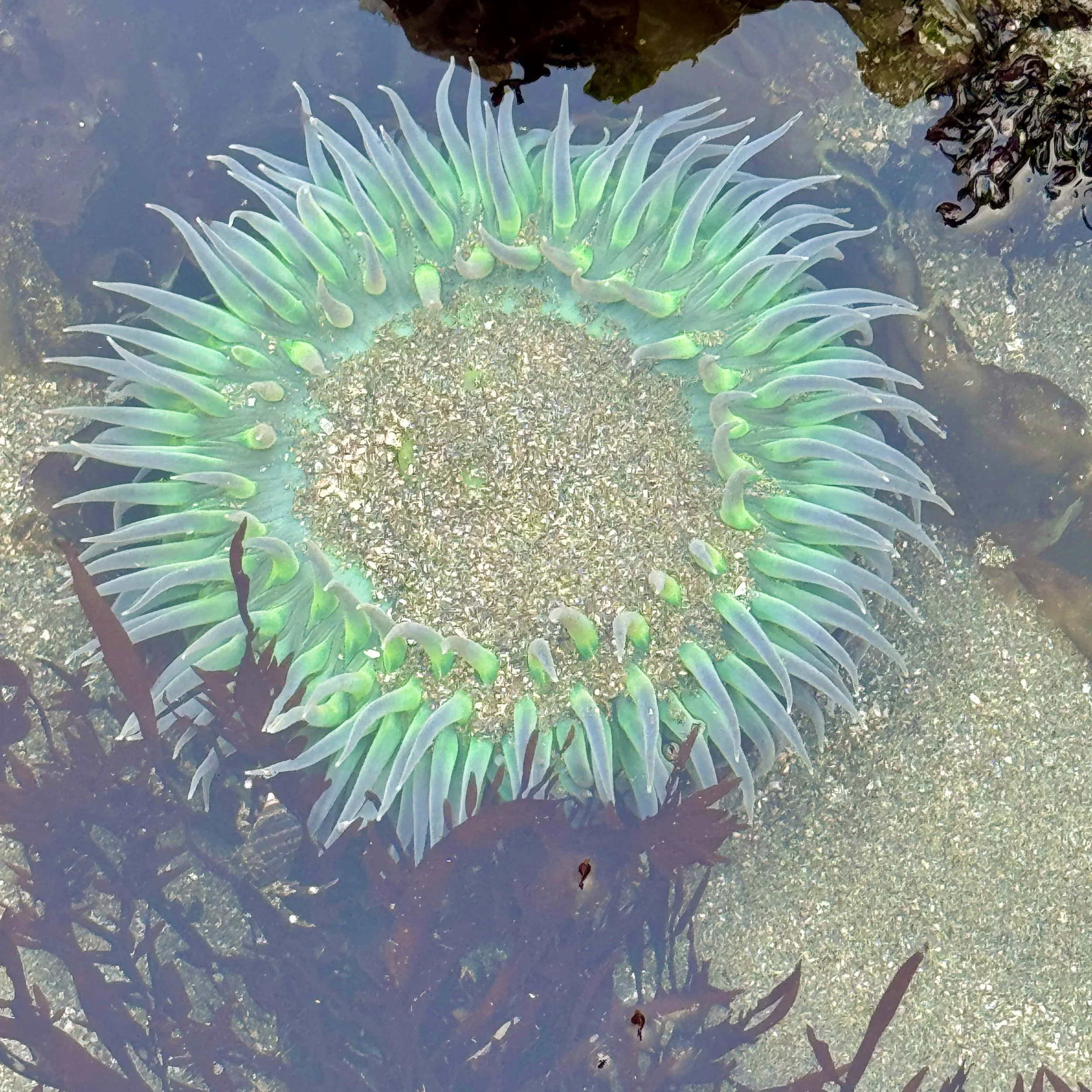
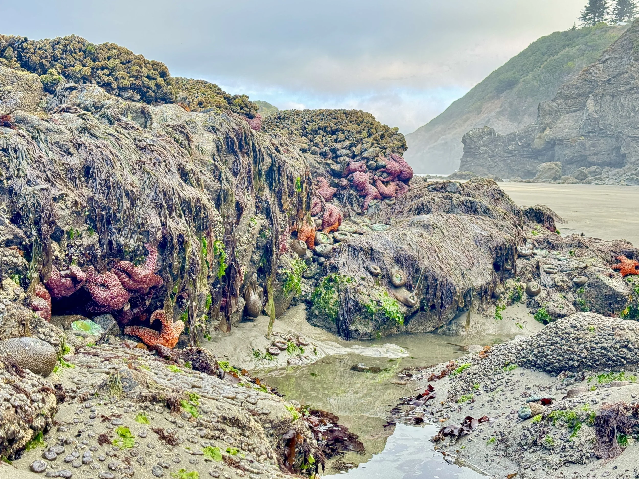
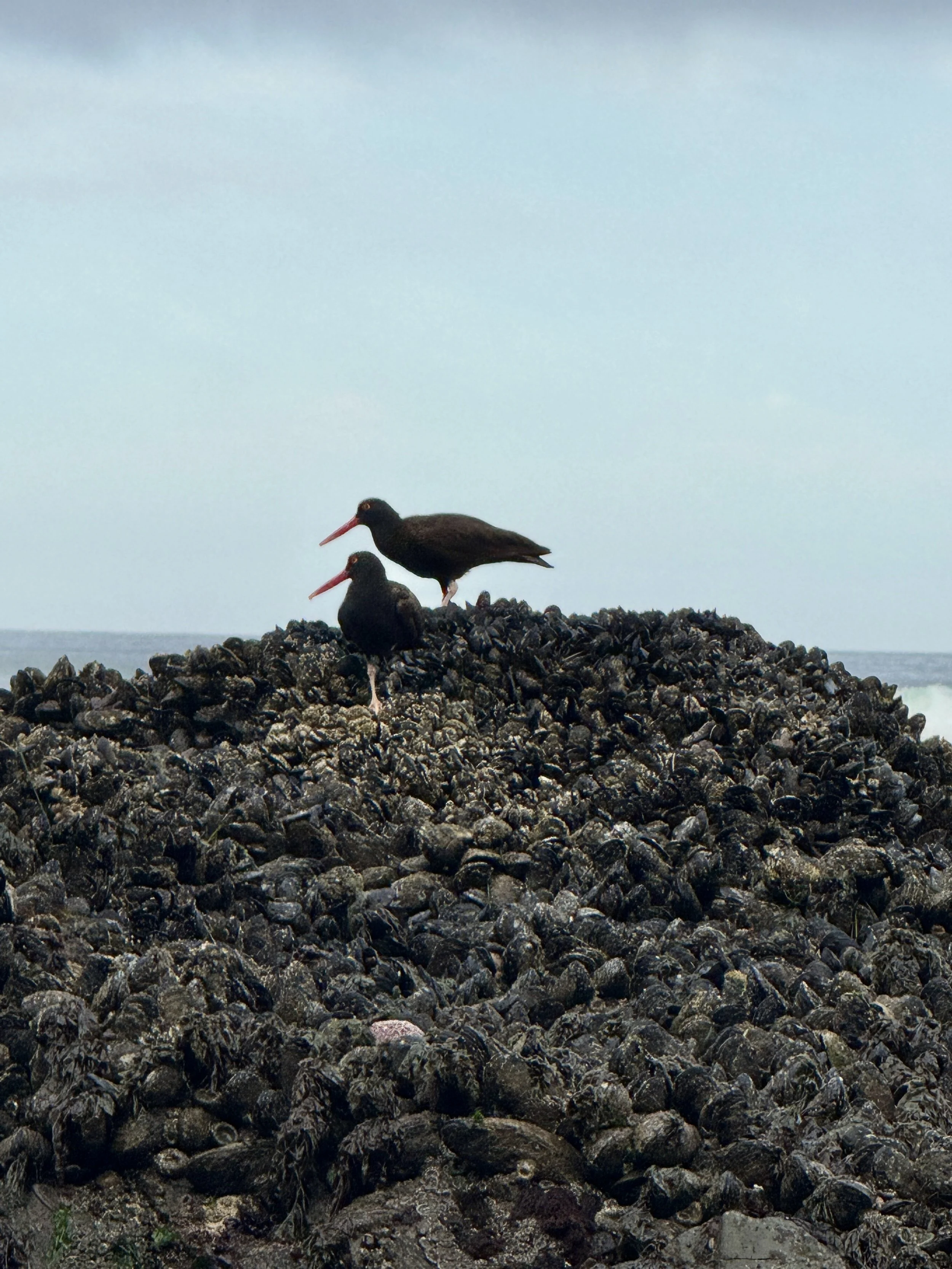
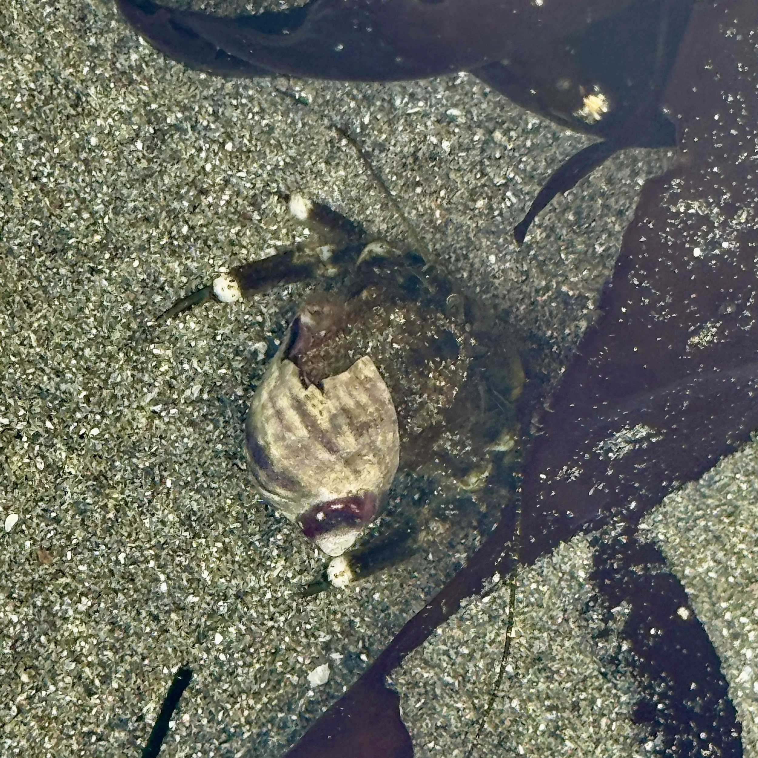
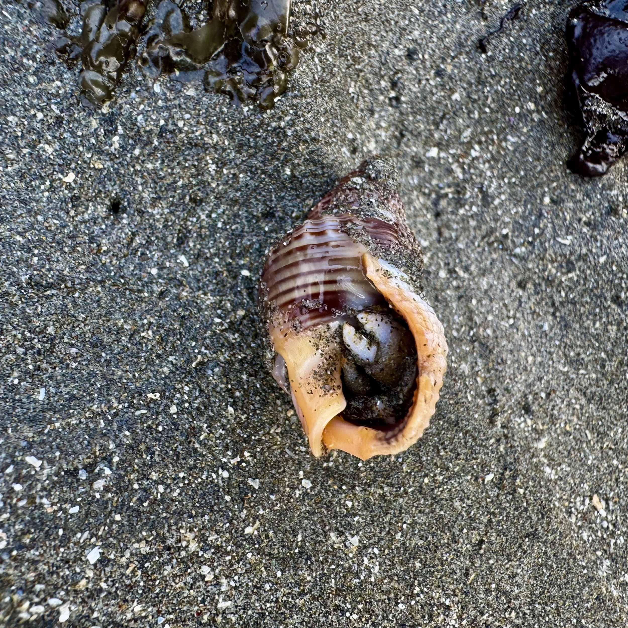
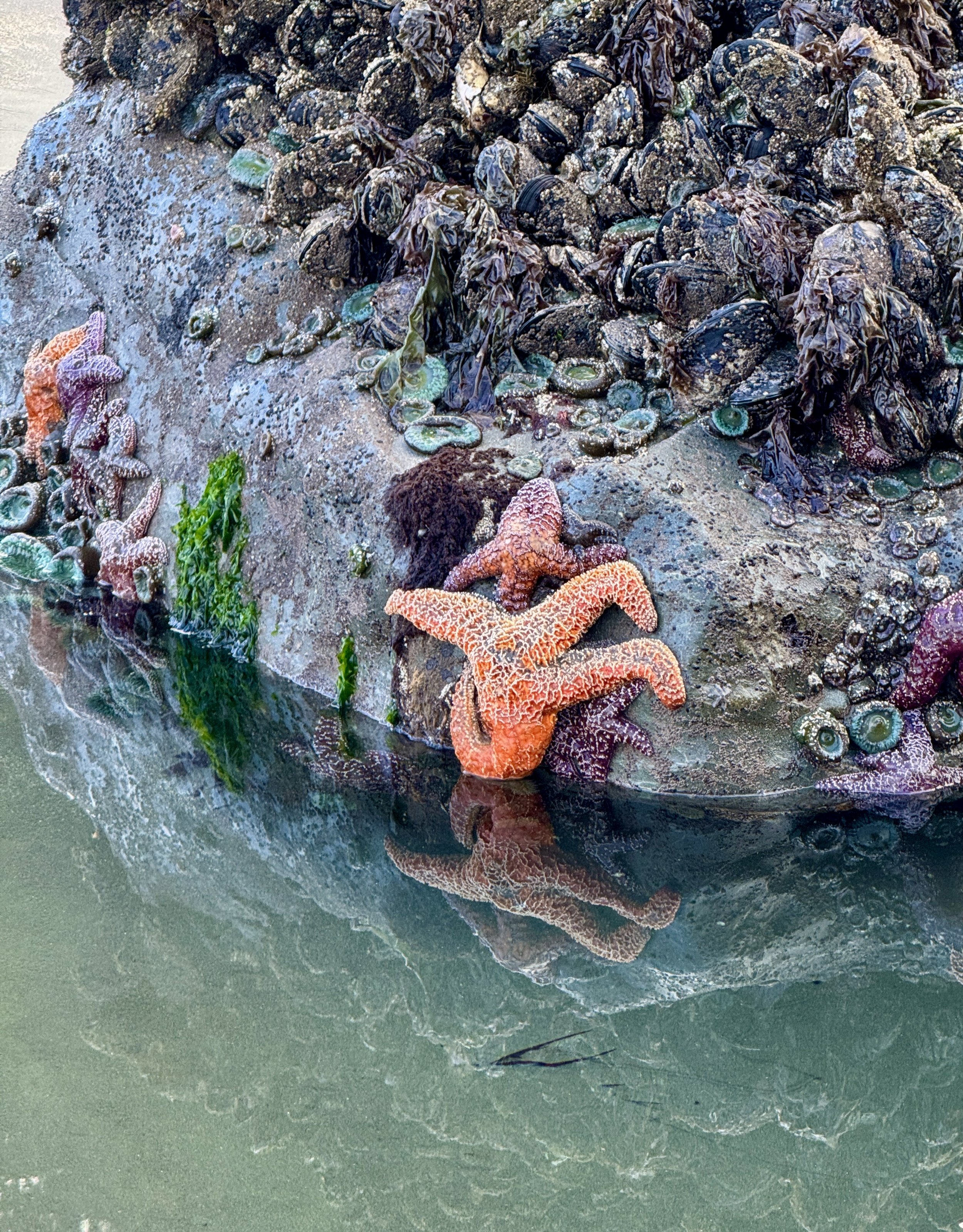
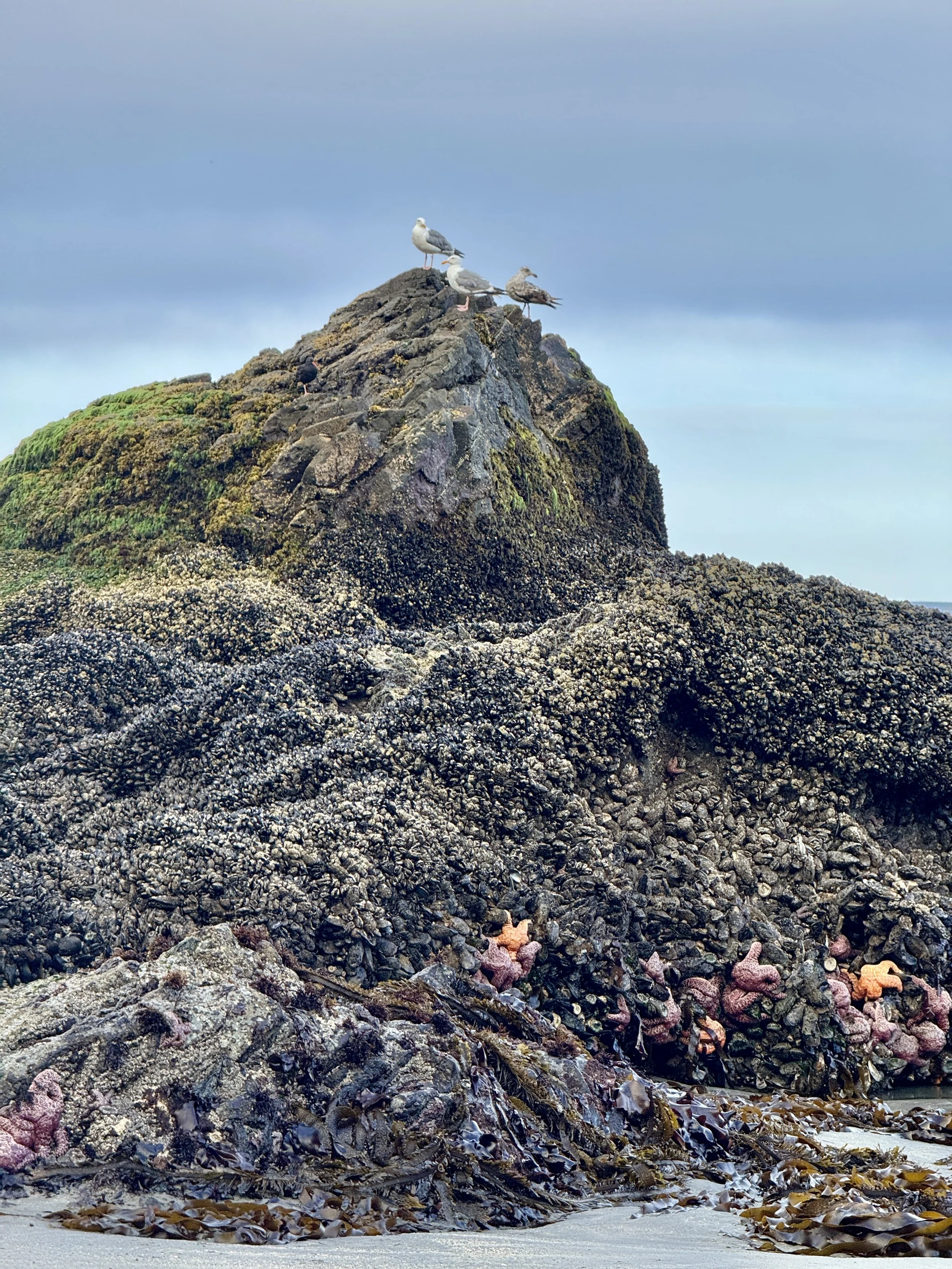
As magnificent as the redwoods are, one of our favorite adventures took us outside the park. We got up early to catch low tide and headed to Enderts Beach near Crescent City. A half-mile trail leads from the parking lot down to the beach, and we arrived about 20 minutes before anyone else. We were rewarded with a peaceful, quiet beach surrounded by seagulls and tide pools. The pools were filled with starfish and anemones, their vibrant colors standing out against the dark rocks, barnacles, and mussels. Taking our time exploring every little corner, we even managed to spot a couple of crabs. Although it was completely different from the towering redwood forests above, the tide pools and rugged coastline were every bit as stunning.
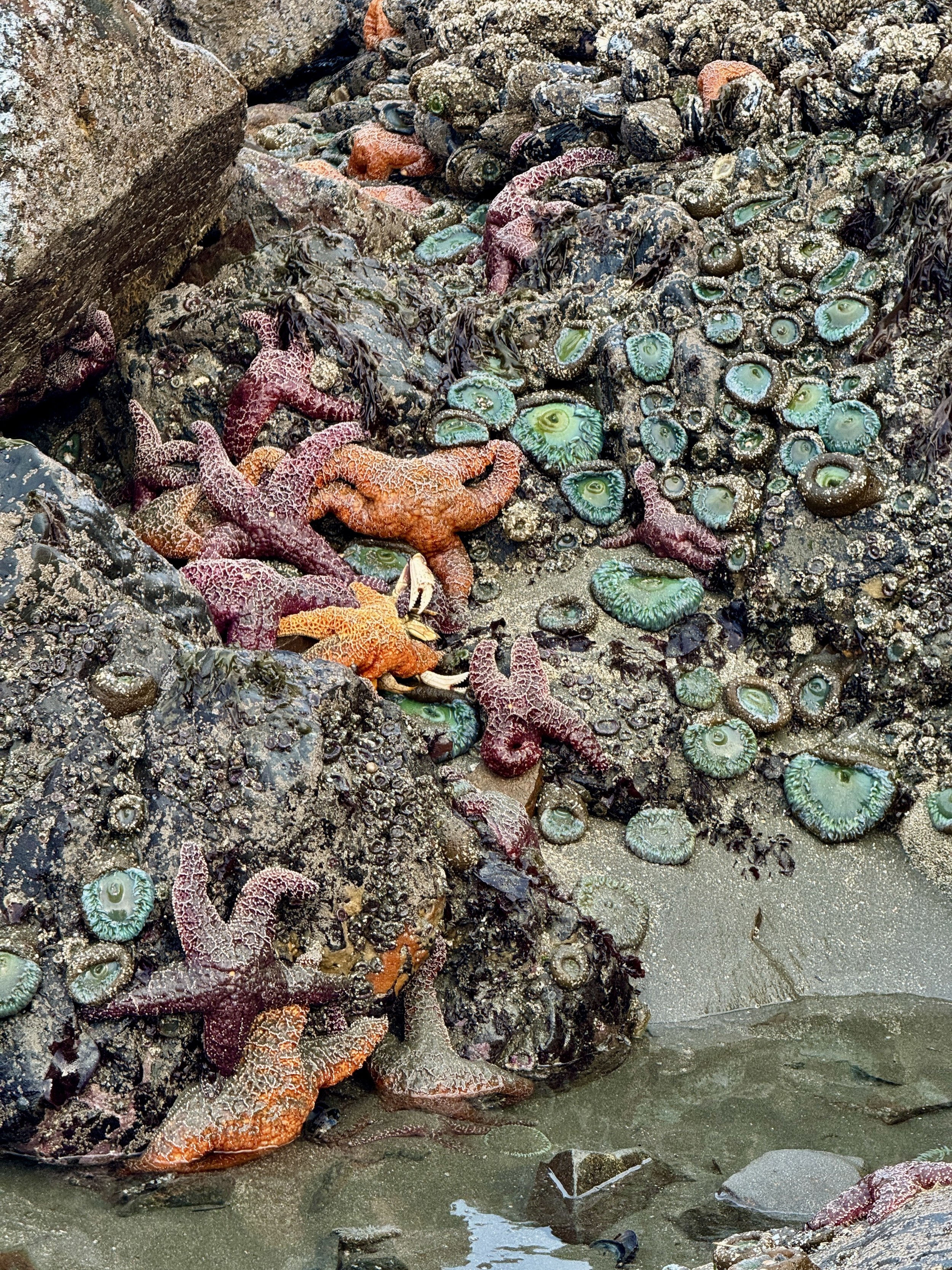
Tidal pool
As we head into the final month of summer, our adventure continues with three more National Parks still on the agenda. The finish line is getting closer, but there are still plenty of miles to travel and adventures to be had!