It’s a Dry Heat
Death Valley National Park
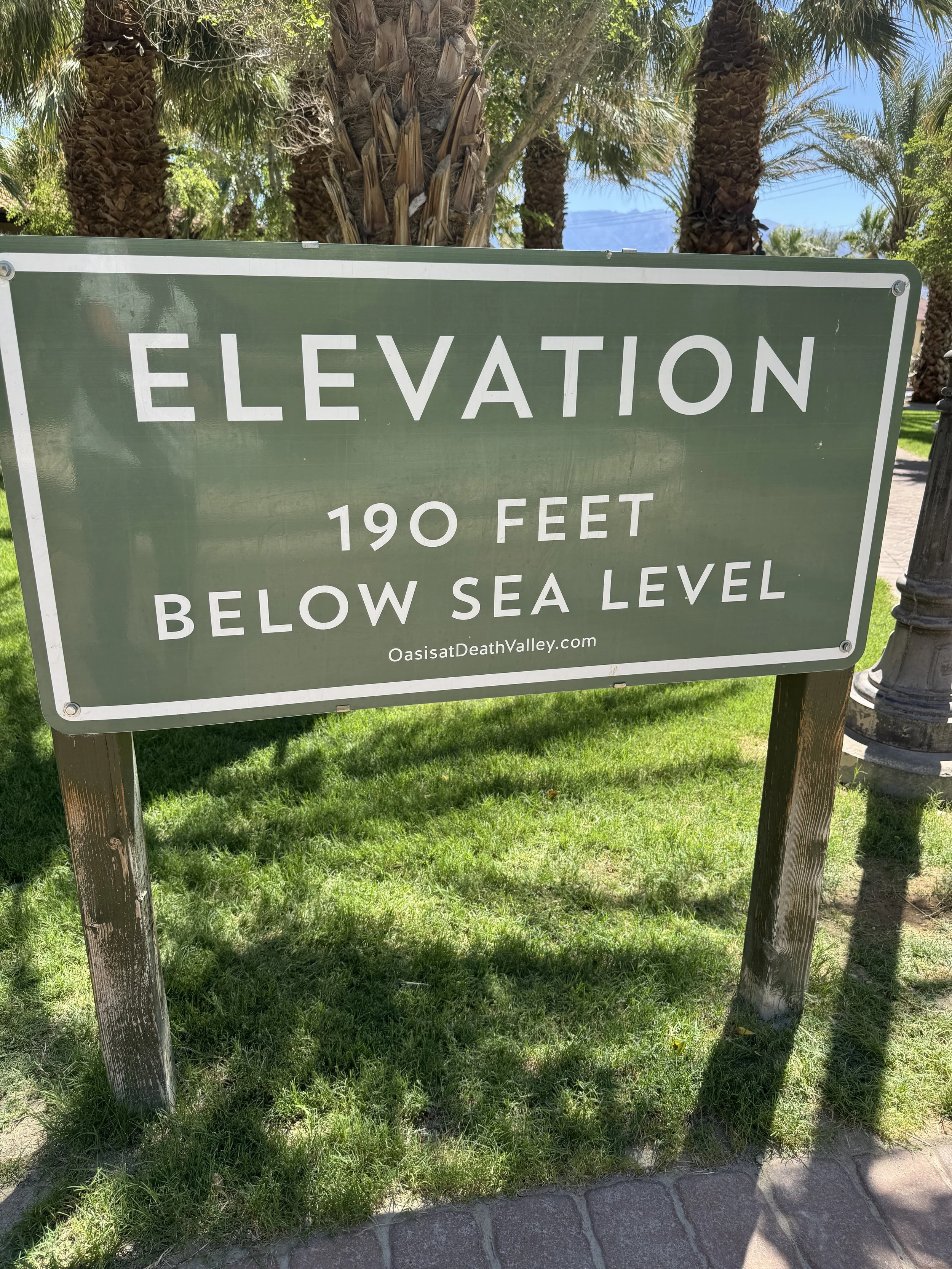
What better thing to do in July than visit one of the hottest places on Earth—Death Valley National Park. At least one advantage is that it’s not very crowded this time of year. Given the extreme temperatures, we decided to give the RV’s air conditioner a break and booked a room at The Ranch at Death Valley instead. It turned out to be a pleasant little oasis in the desert, with cottages set around a central “square” that includes shops, restaurants, and even an ice cream parlor.
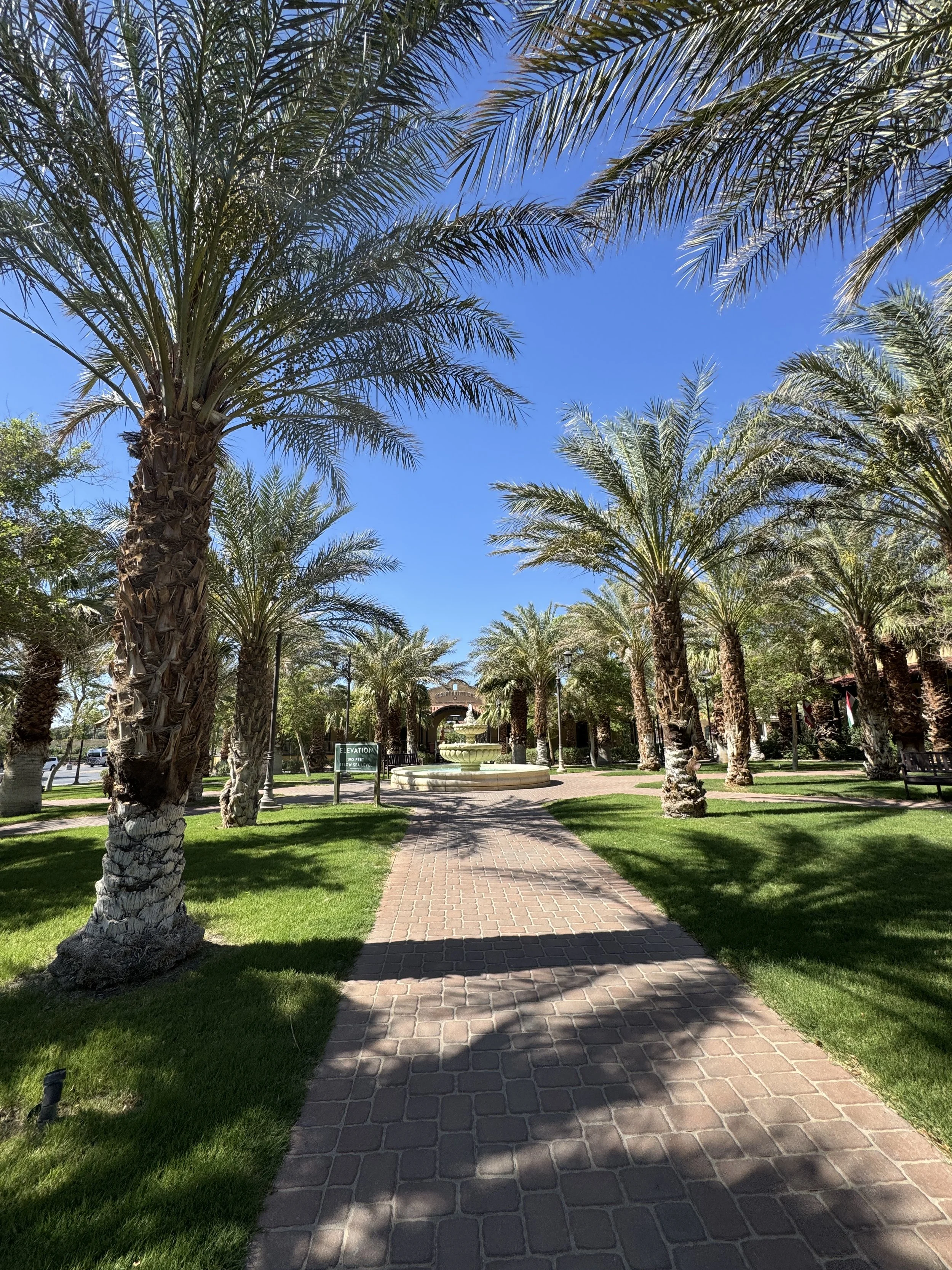
the Ranch at Death Valley
Our first day started early in the morning to try to beat the extreme heat—everything you read about Death Valley strongly recommends not hiking after 10 a.m. We managed to hit many of the park’s main highlights in one morning, beginning at Badwater Basin and then continuing on to Natural Bridge, Devil’s Golf Course, Artists Palette, Golden Canyon, Zabriskie Point, and Twenty Mule Team Canyon, before finishing the day with the sweeping views from Dante’s View.
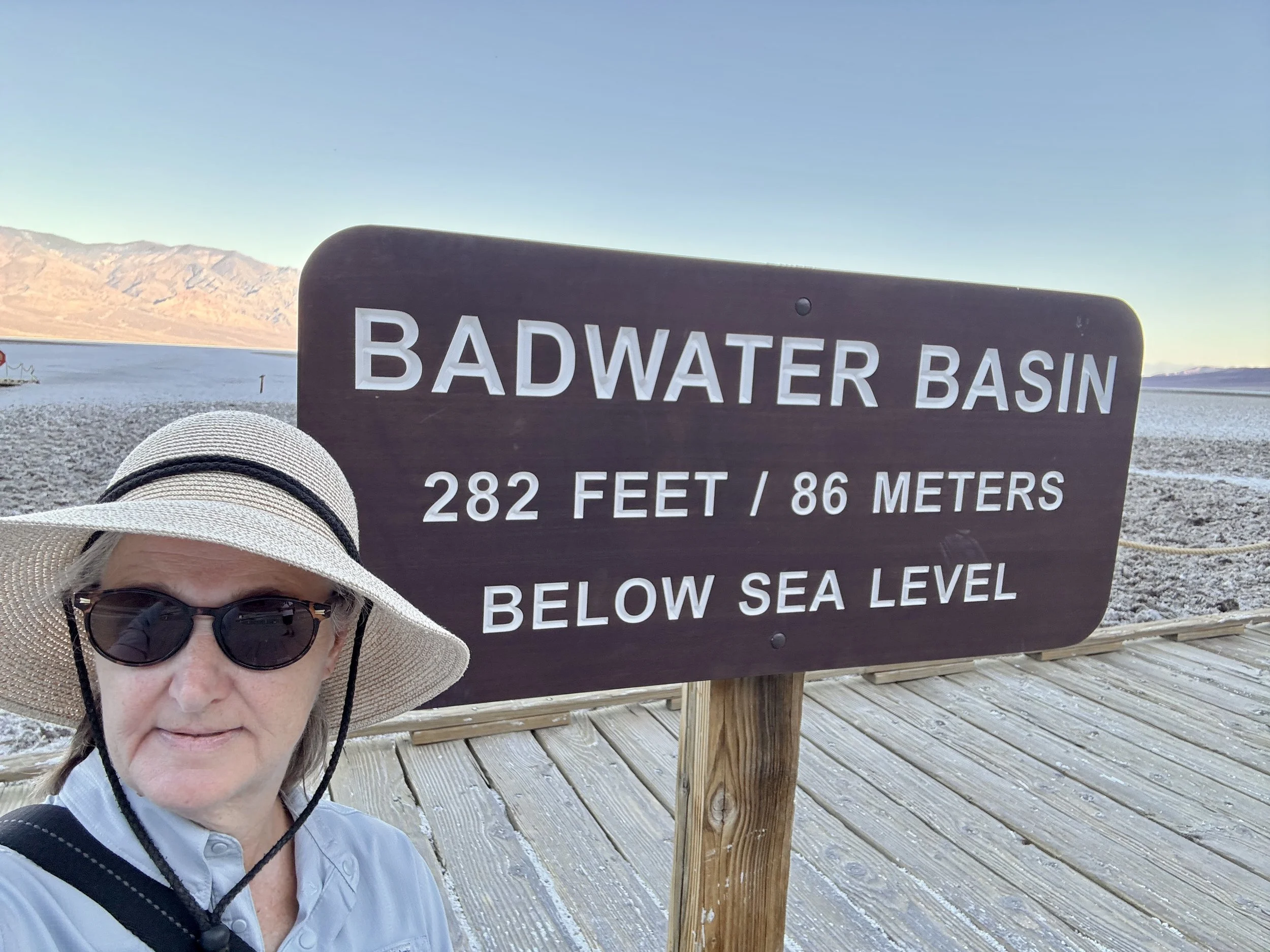
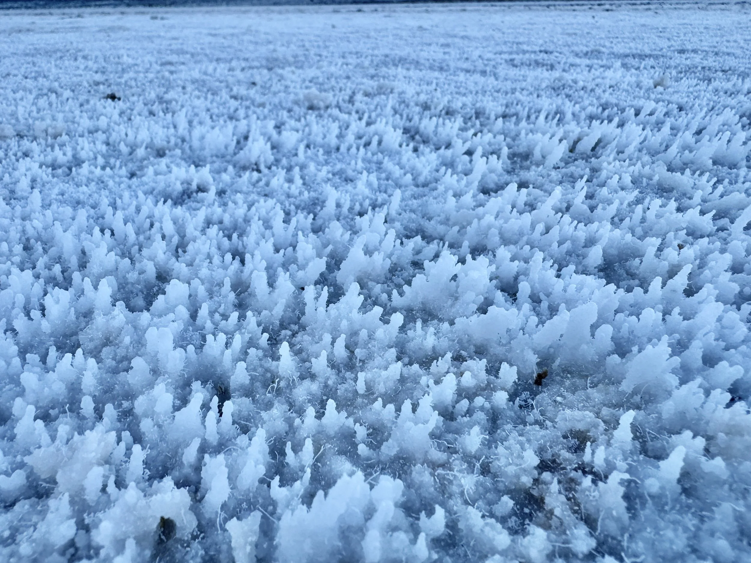
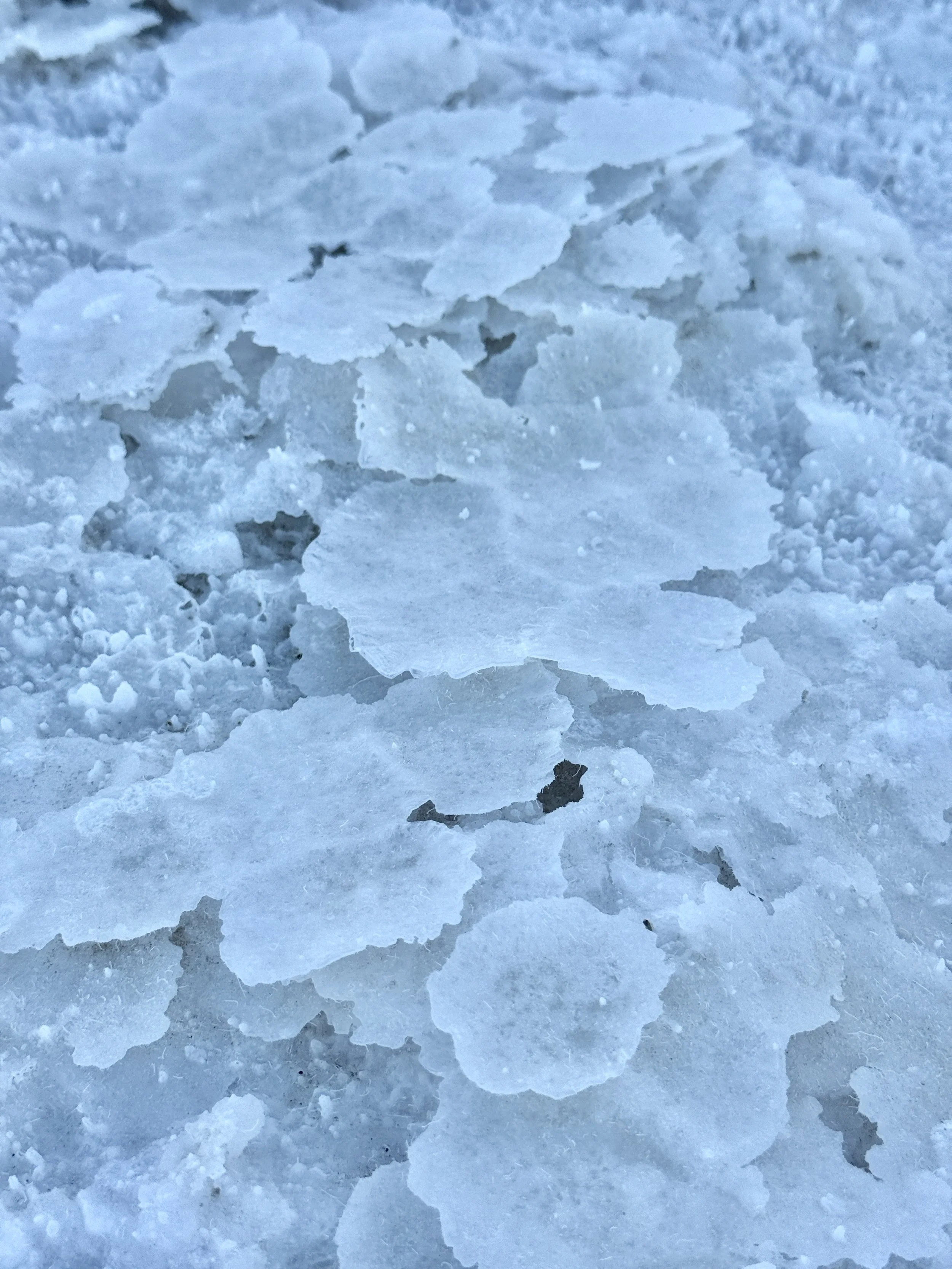
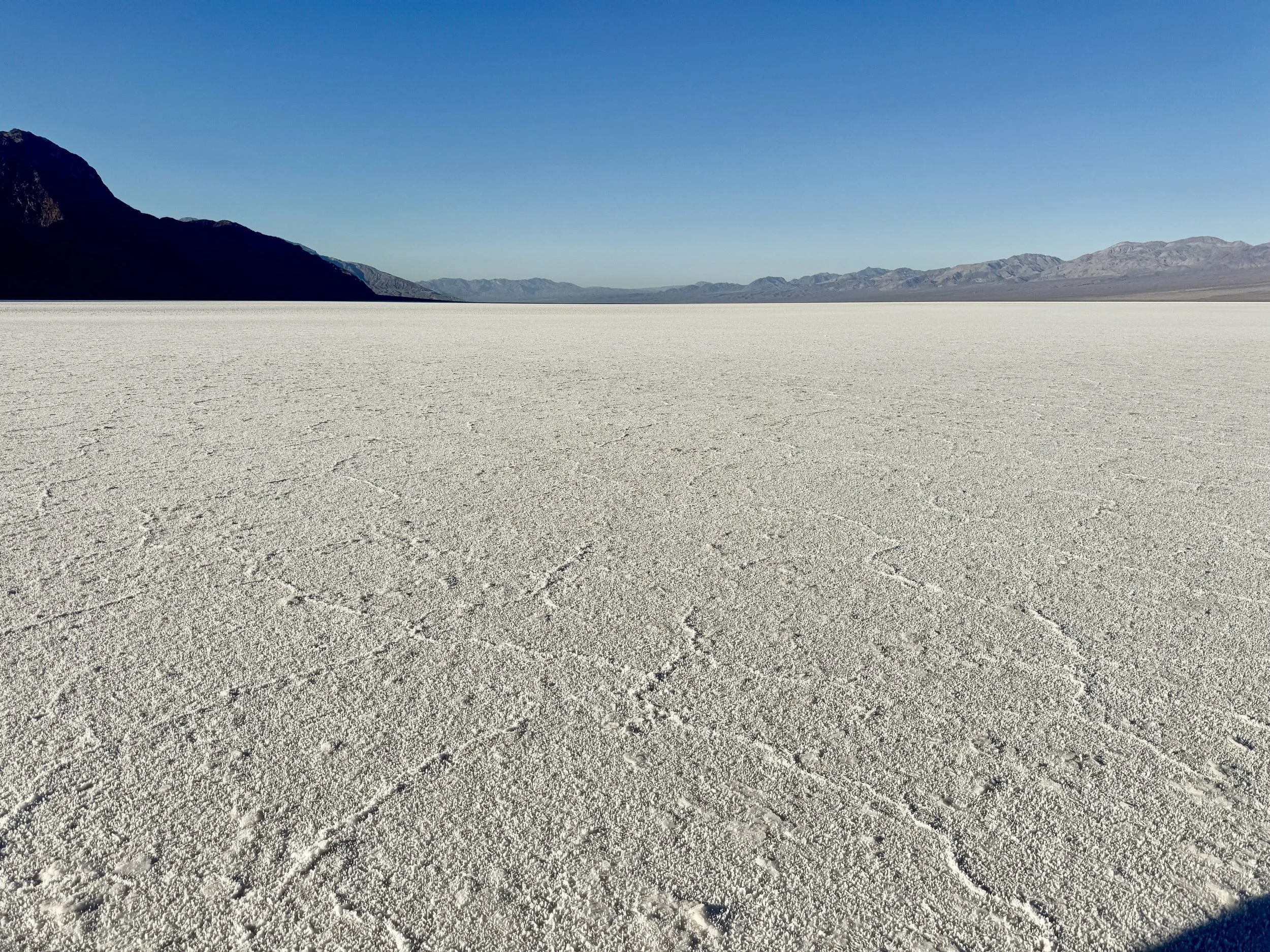
We spent the most time at Badwater Basin, which is said to have gotten its name after a mule reportedly refused to drink from the salty spring-fed pool of water there. This is where the famous salt flats are located, sitting 282 feet below sea level. A marker on the nearby hillside shows where sea level would be above you, which really puts the elevation into perspective. You can see the salt flats from the road, but it’s much more interesting to walk out onto them. The ground is covered in salt that forms a variety of crystal patterns, stretching out in every direction. In most areas, the salt is hard and dry, crunching underfoot, but in a few spots it remains damp from the underground spring, and your foot sinks slightly into the mud beneath. We walked about a mile out onto the salt flat, reaching a point where the early morning sunlight was just starting to creep over the surrounding mountains.
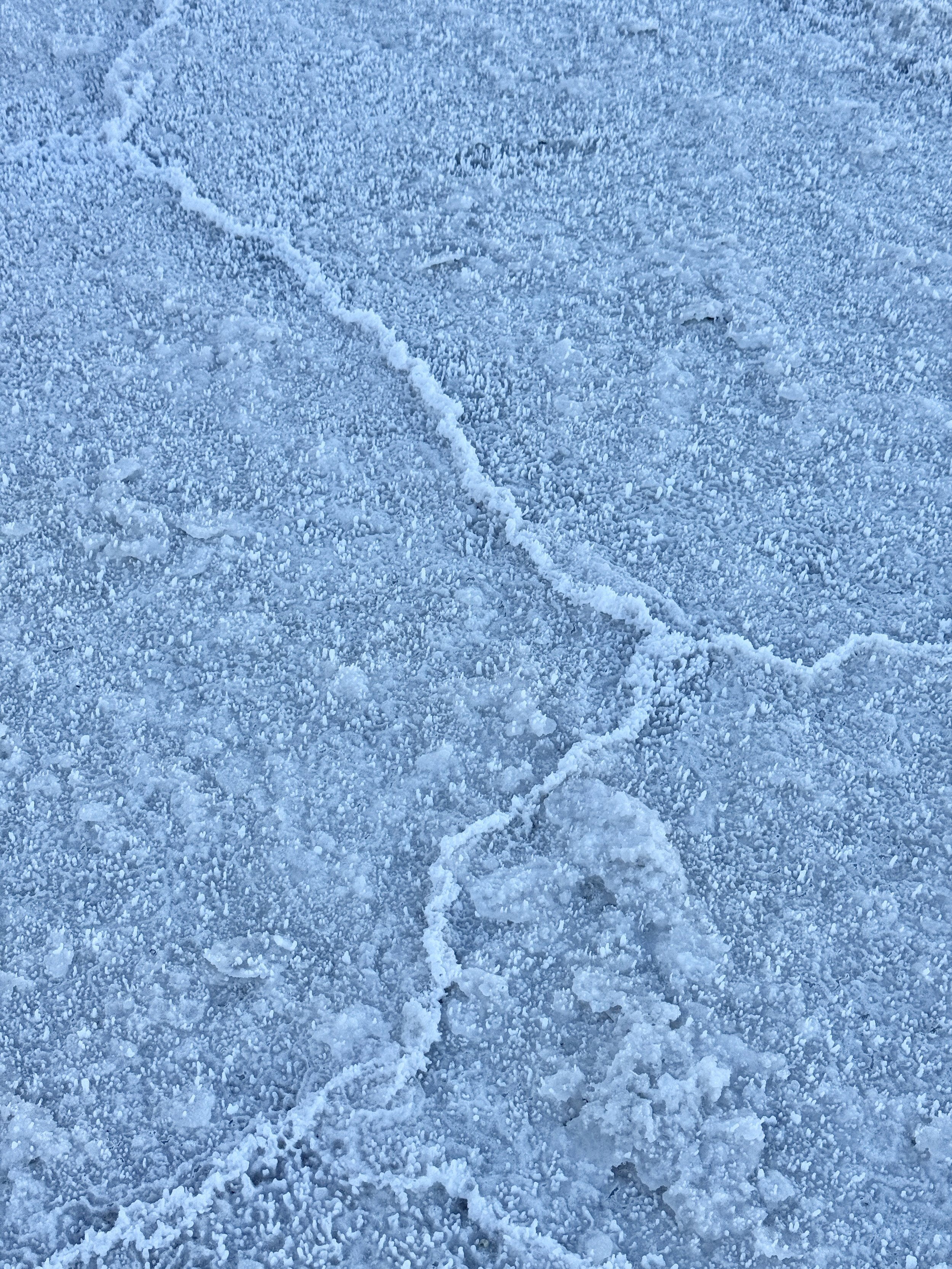
Salt crystals of the salt flats
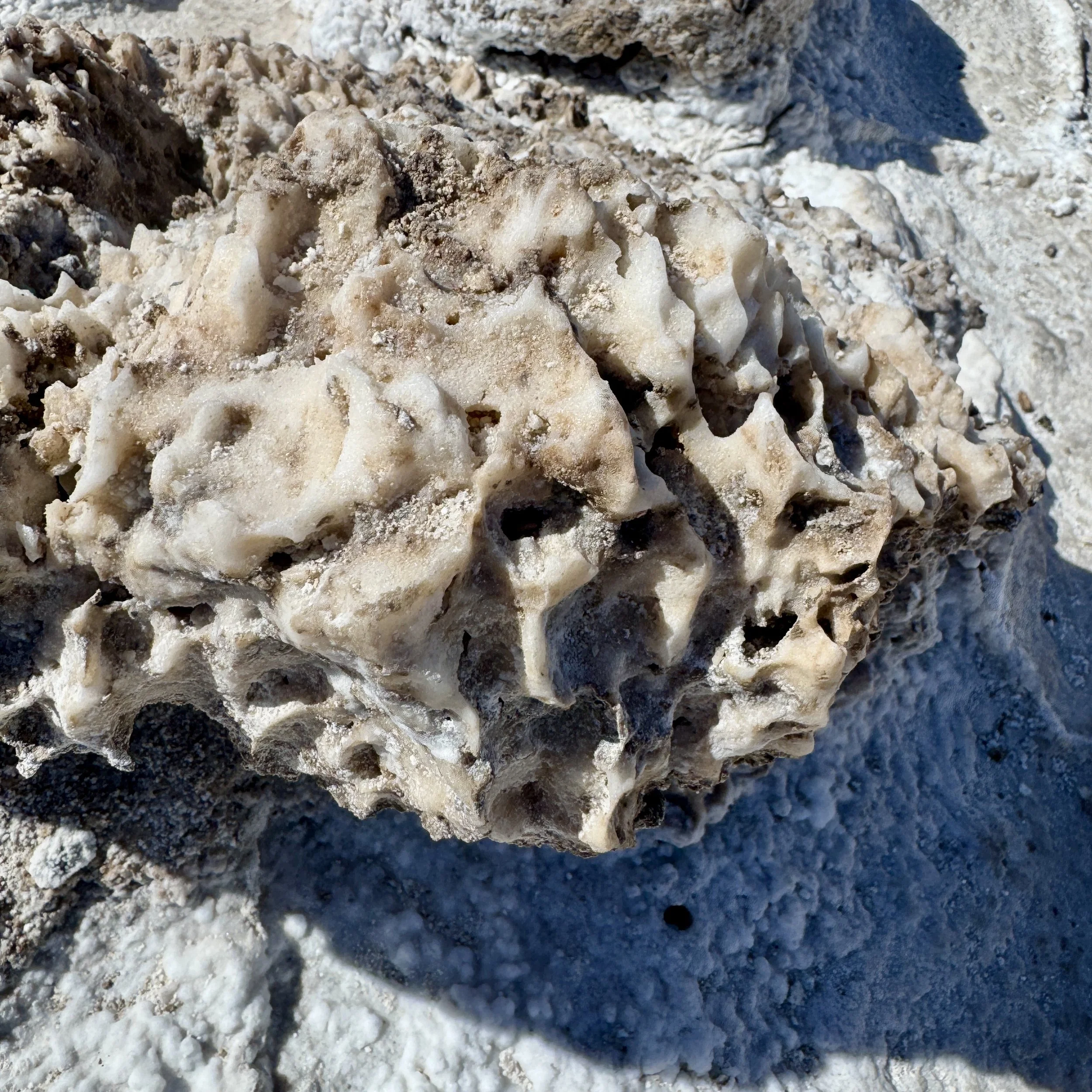
Devil’s Golf Course was another area on the valley floor made up of salt, but it looked completely different from the salt flats. Here, the salt forms into large, rough, dirty-looking clumps sitting on top of a hard salt layer, creating a jagged, almost otherworldly surface. It’s said that on very hot days you can actually hear the salt crystals popping as they expand in the heat, but we didn’t hear anything during our visit—most likely because we were there early, before the intense midday sun had warmed things up enough.
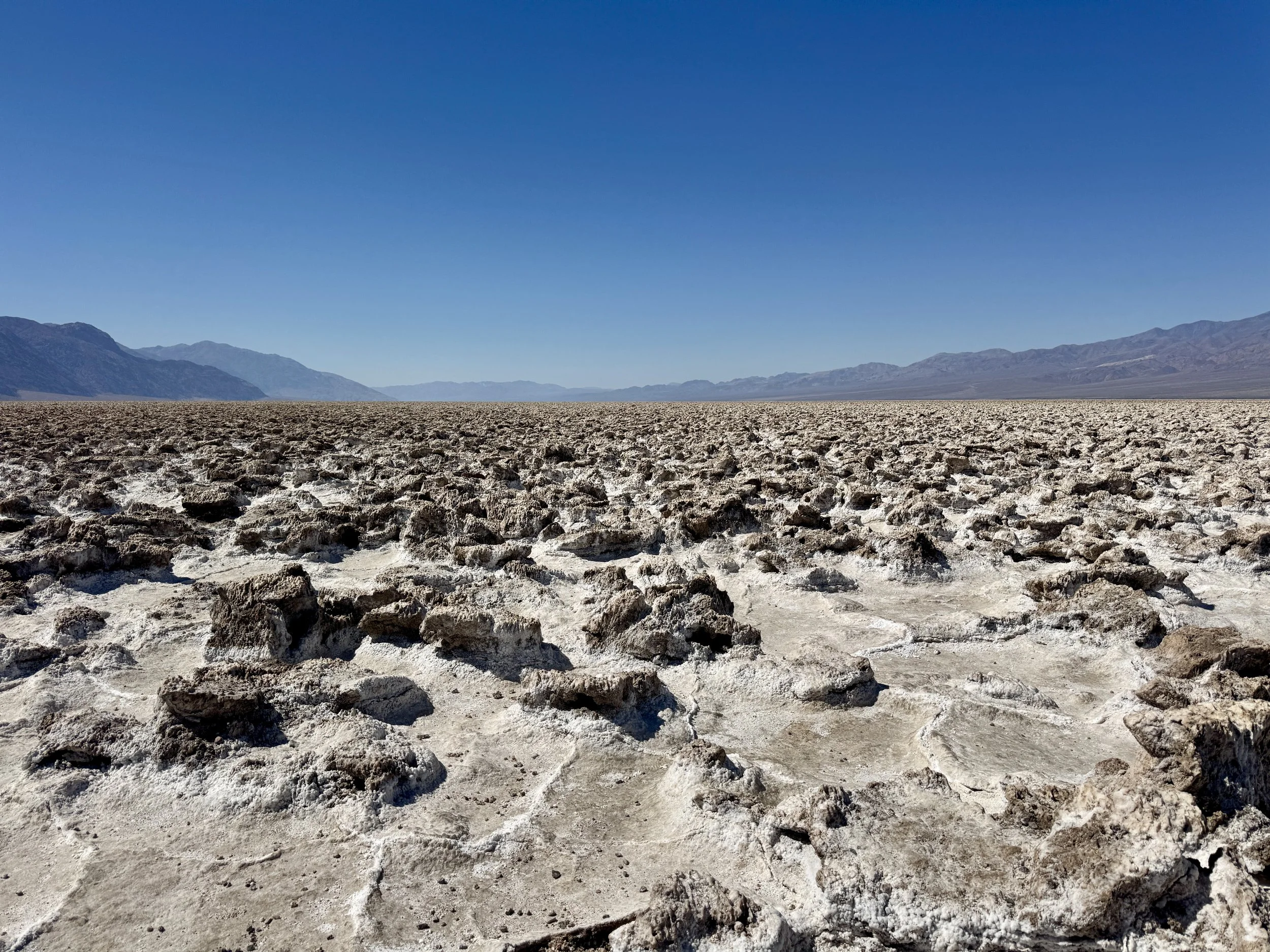
Devil’s Golf Course
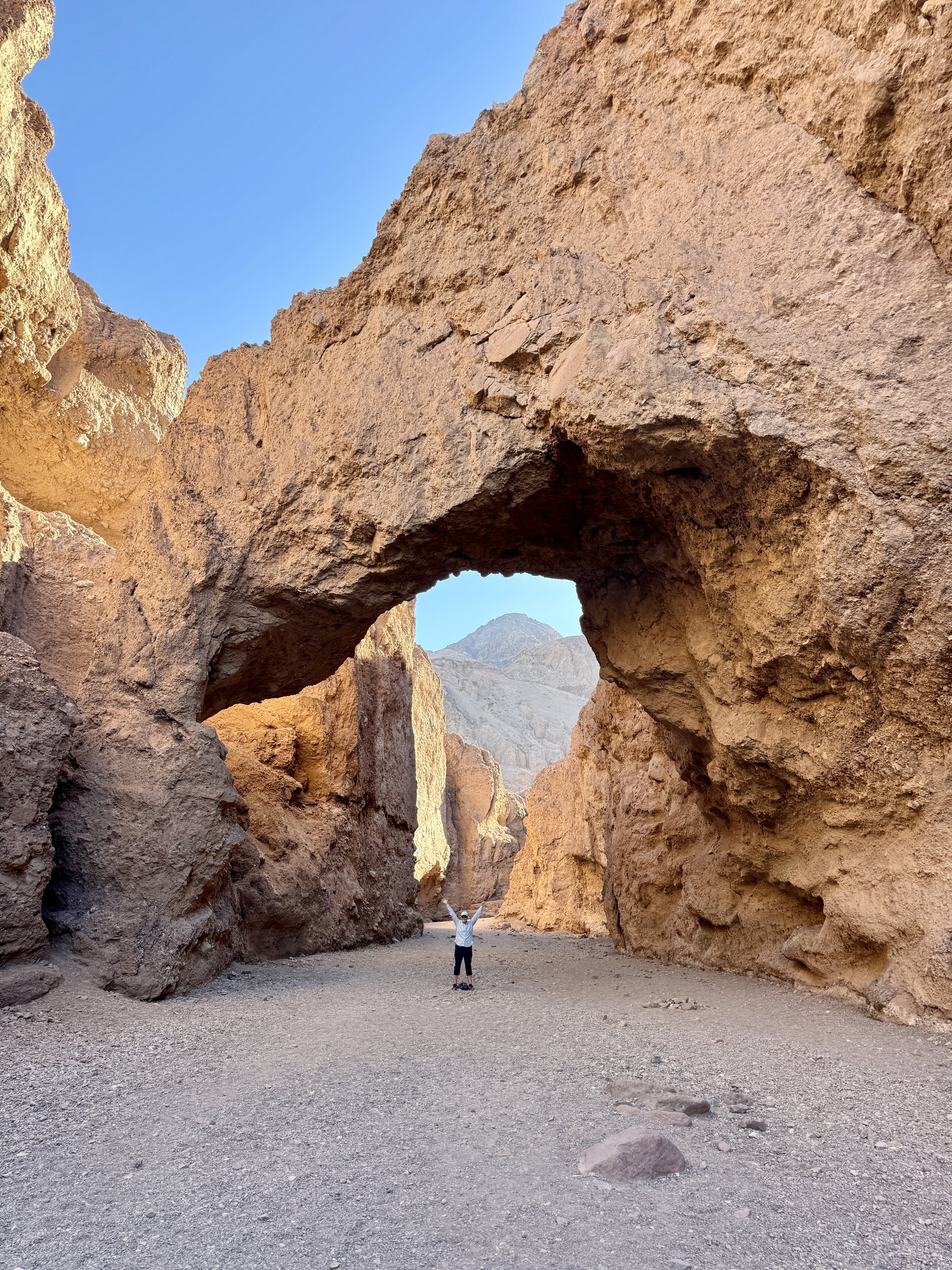
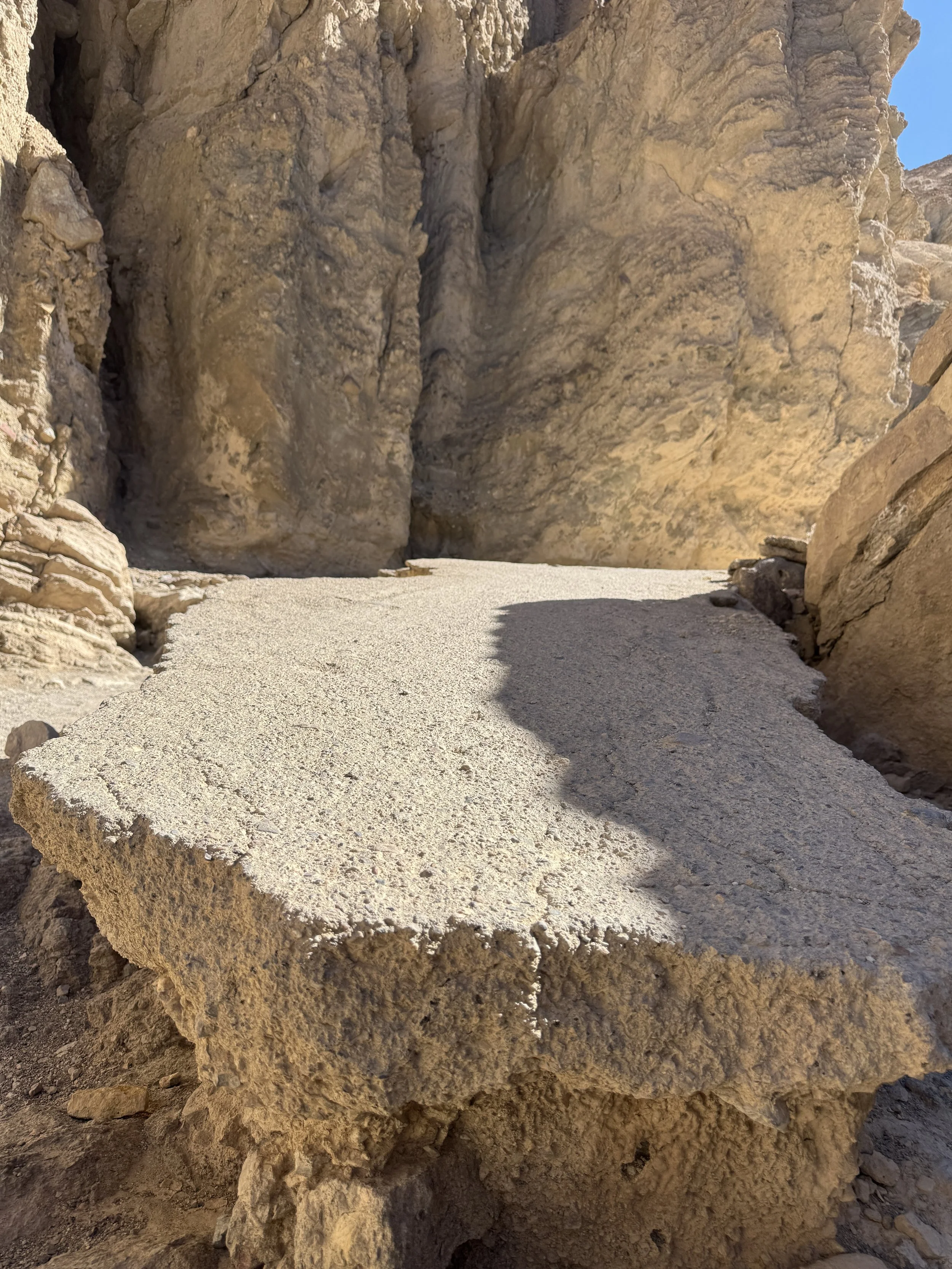
At Natural Bridge and Golden Canyon, we took short hikes into the slot-like canyons carved into the desert landscape. The Natural Bridge hike is about a one-third-mile walk up the canyon floor to a stone bridge formation that connects the two canyon walls. The bridge sits roughly 35 feet above the canyon floor and is about 35 feet thick. Unlike the smooth sandstone arches found in Utah, this formation is made of rocky alluvial deposits—rock, gravel, and sediment that washed down from the mountains and were later cemented together. The bridge formed when flash flood waters shifted and temporarily changed the course of erosion, lowering the canyon floor. When water eventually returned to its original path, it carved out the space beneath the bridge, gradually lowering the canyon floor further and leaving the formation suspended above it.
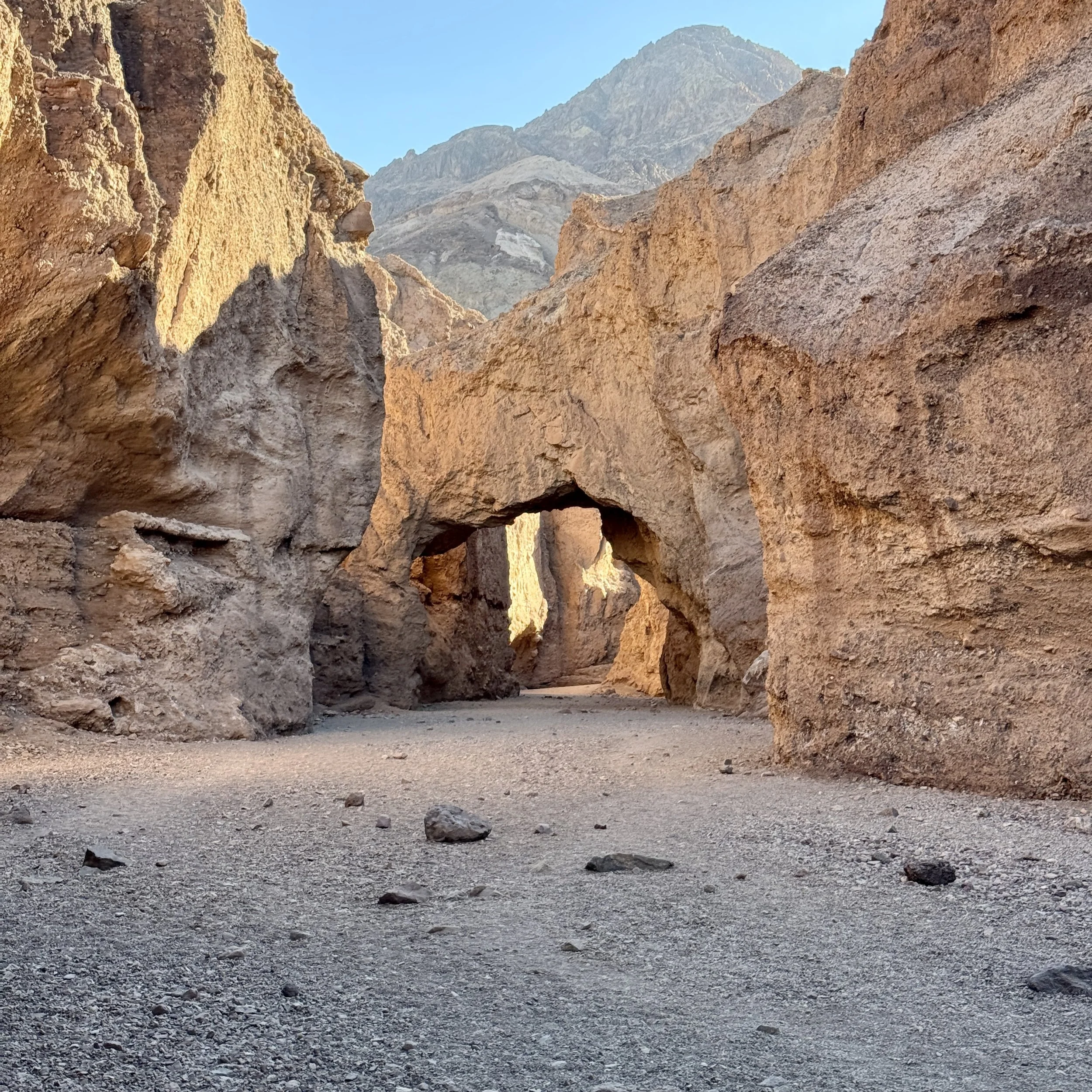
Natural bridge
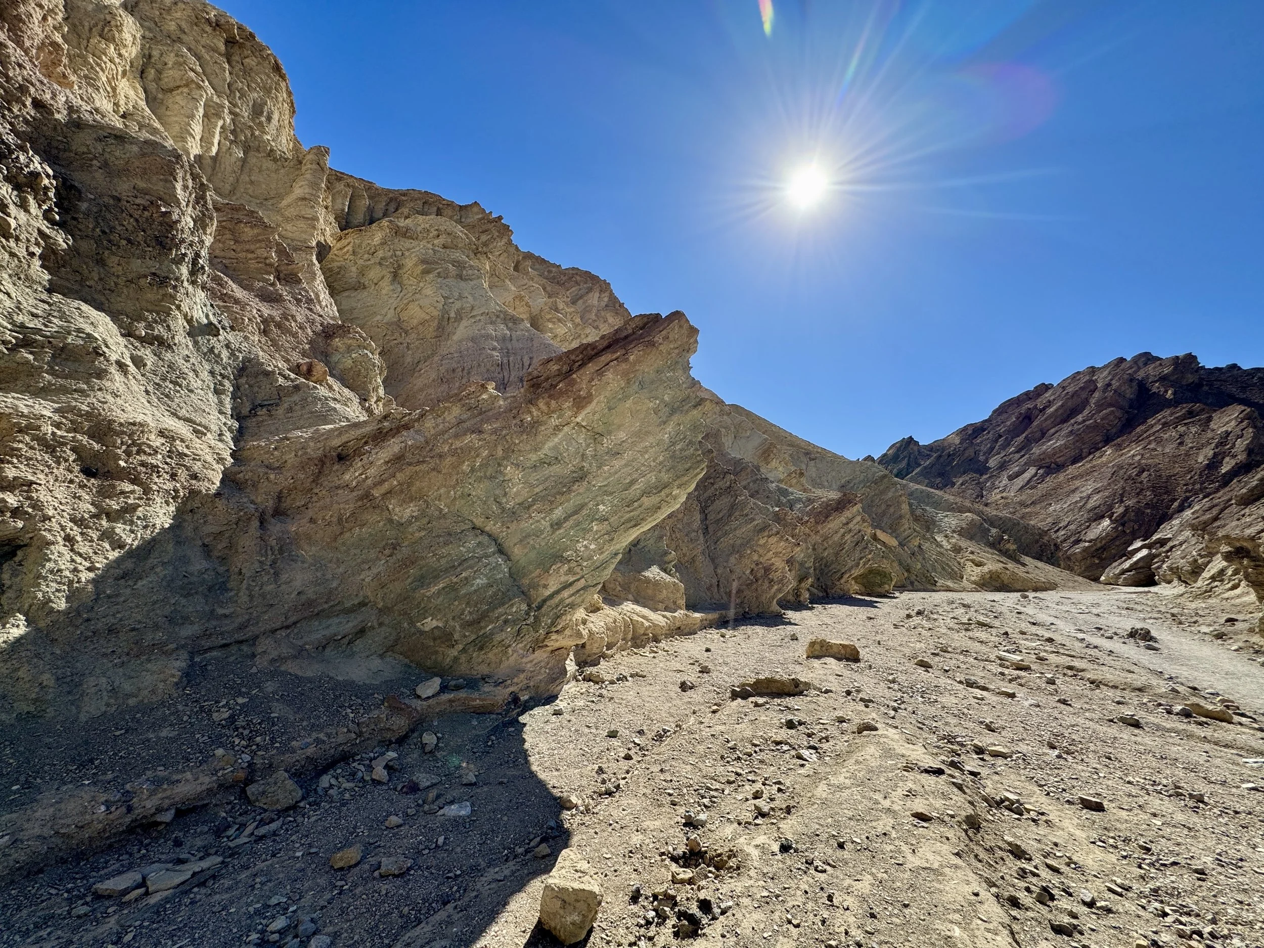
Golden Canyon is an easy to moderate hike that winds through beautiful golden-yellow canyon walls, which is how it gets its name. While the trail continues for a mile or more into the canyon, we were already a few miles into our morning and it was getting later in the day, so we decided to turn around at the half-mile point. Along the way, you can still see remnants of what used to be a road running through the canyon, adding an interesting historical layer to the natural scenery.
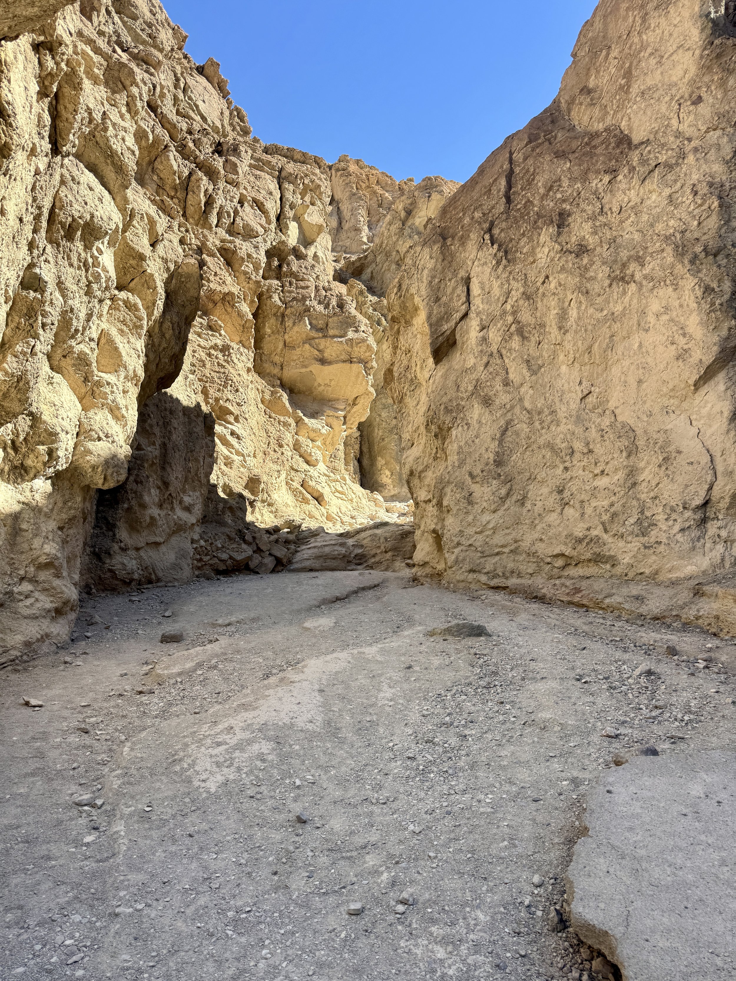
Golden canyon
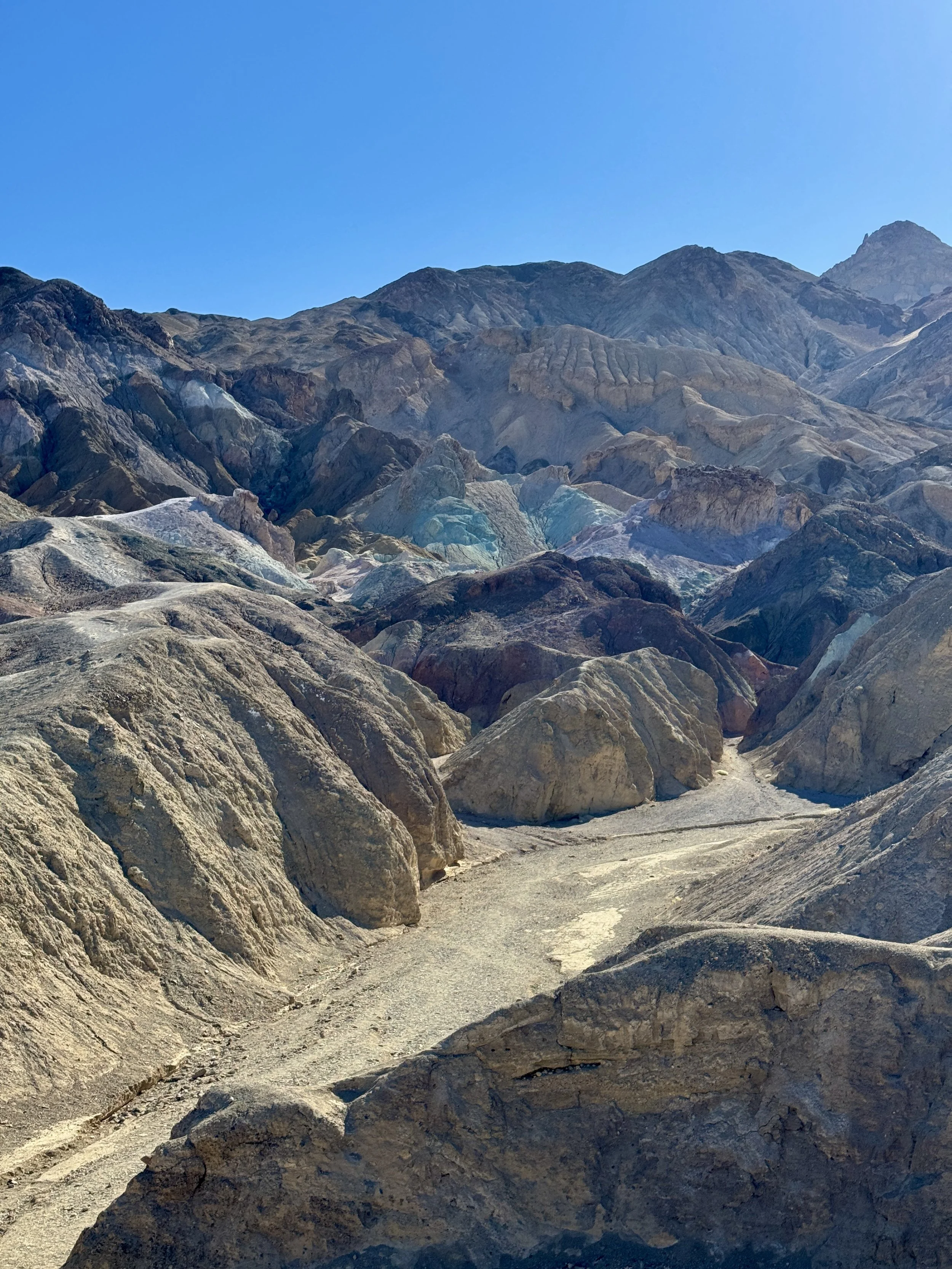
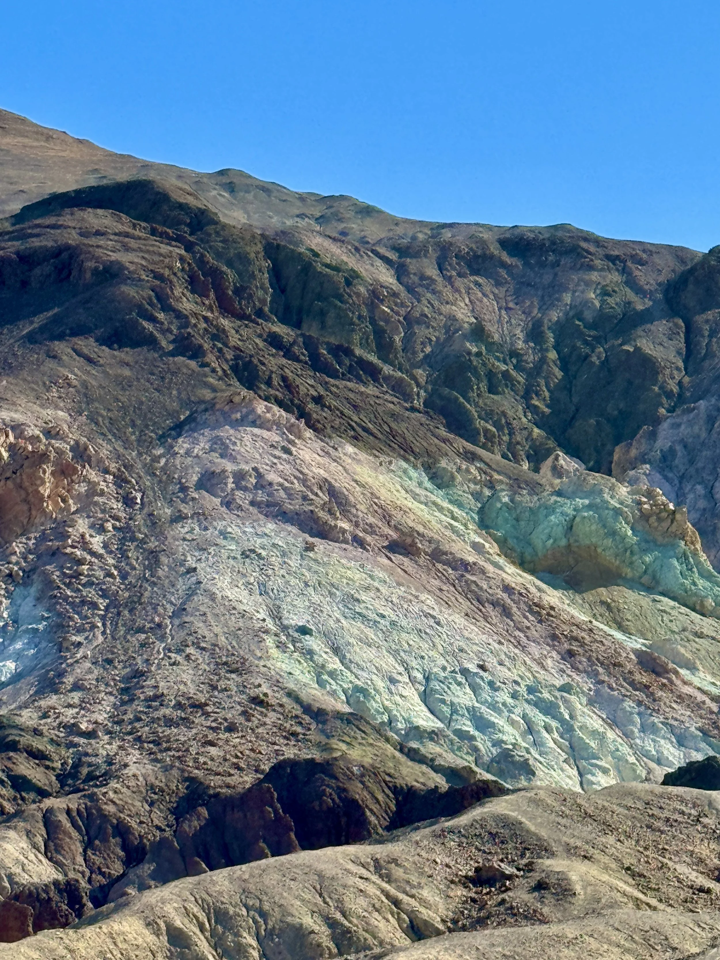
Artists Palette and Twenty Mule Team Canyon are both short, one-way loop drives that wind through rolling canyon hills, offering great views as you twist and weave through the landscape. At Artists Palette, a single scenic viewpoint showcases the striking range of colors in the hillside, created by volcanic deposits rich in different minerals such as iron oxides and chlorite. The result is a vibrant, almost painted-looking landscape that stands out against the surrounding desert.
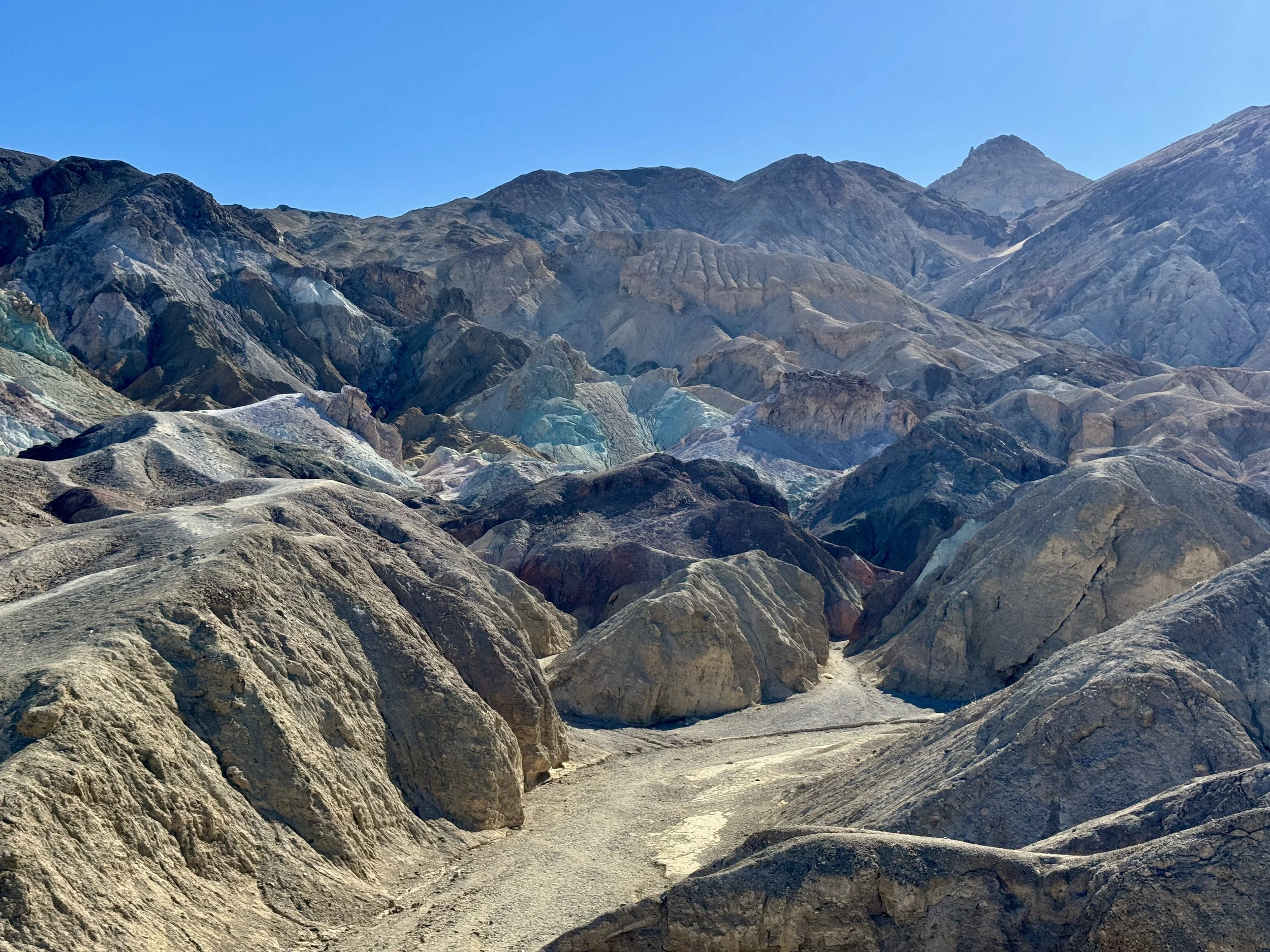
Artists Palette
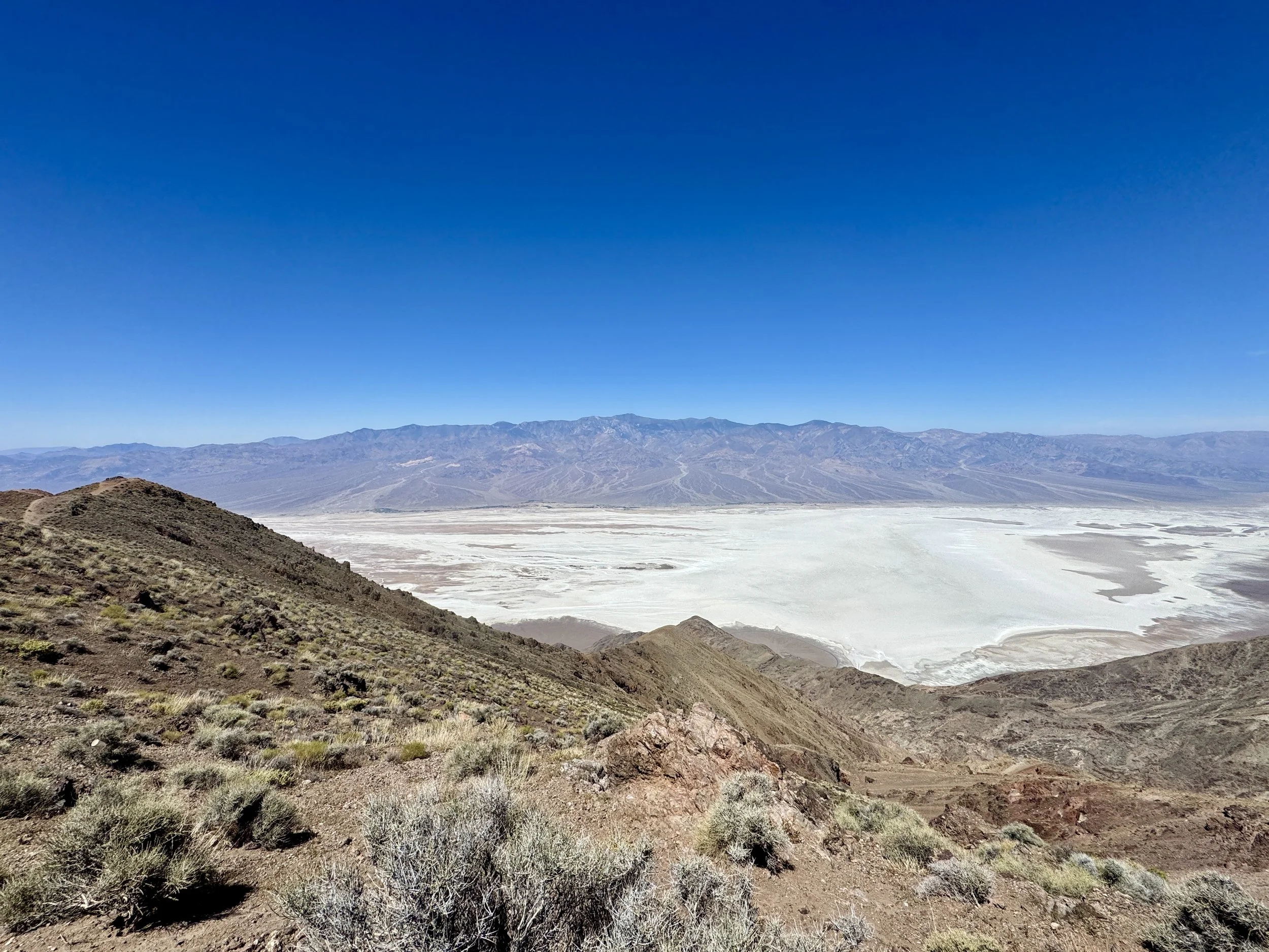
Zabriskie Point and Dante’s View both offer incredible vistas overlooking the desert floor and vast salt flats. Dante’s View sits at an elevation of 5,475 feet, and it’s hard to believe that the valley floor far below is actually below sea level. The contrast in elevation and landscape makes the views feel almost surreal, especially when looking out across Death Valley from above.
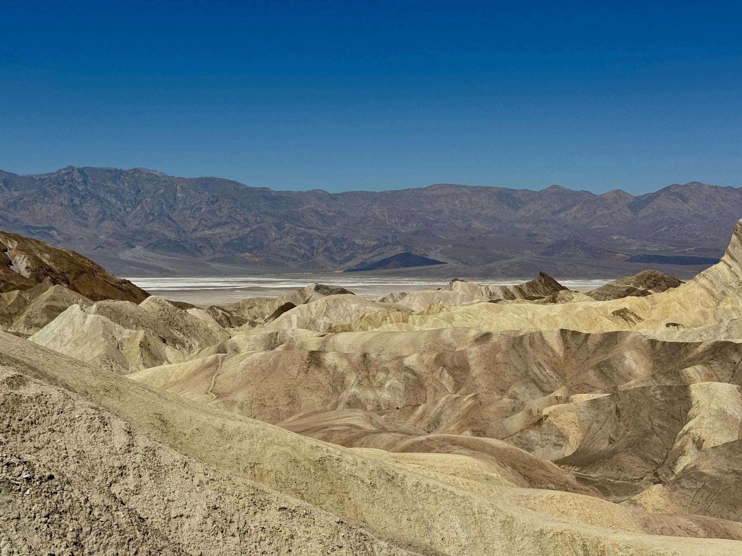
view from Zabriskie point
Many of the points of interest in Death Valley were also used as filming locations for the original Star Wars trilogy. As a Star Wars fan—and someone who feels it’s practically required since my birthday is on May the 4th—it was fun to recognize some of these familiar landscapes and imagine them as part of a galaxy far, far away.
Our second day also started early in the morning, with our final destination being the Racetrack Playa in the northern part of the park. Getting there requires a 55-mile stretch on paved road followed by about 30 miles of dirt and gravel road, so it’s definitely a bit of an adventure just to reach it. Right before turning onto the dirt road, we stopped at Ubehebe Crater. The crater is about 600 feet deep and half a mile wide, formed by steam and gas explosions when hot magma rising from below reached groundwater near the surface. The intense heat instantly flashed the water into steam, which expanded rapidly until the pressure was released in a massive explosion. Standing at the rim, it’s hard to imagine the scale and force of the event that created such an enormous crater.
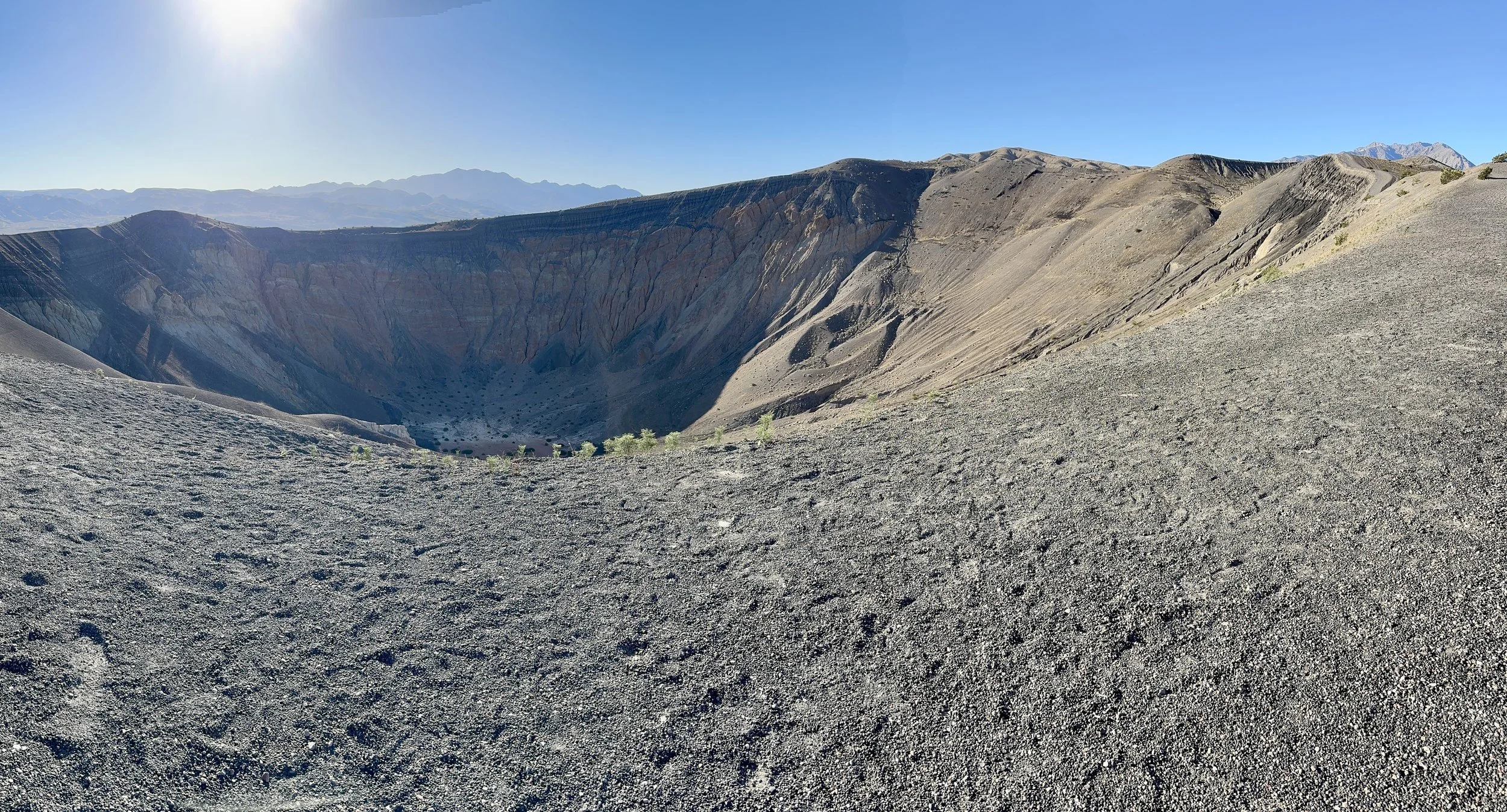
Ubehebe Crater
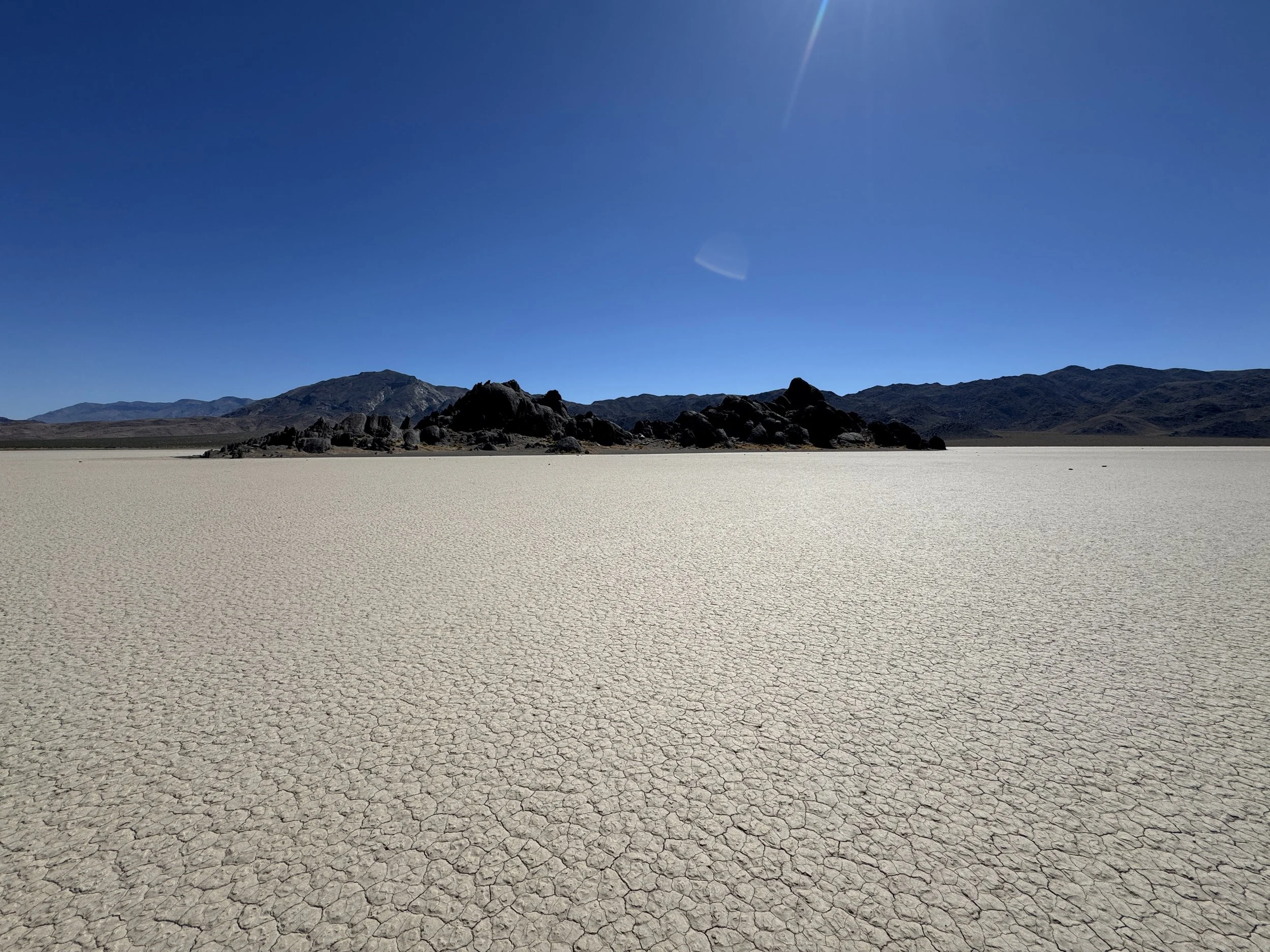
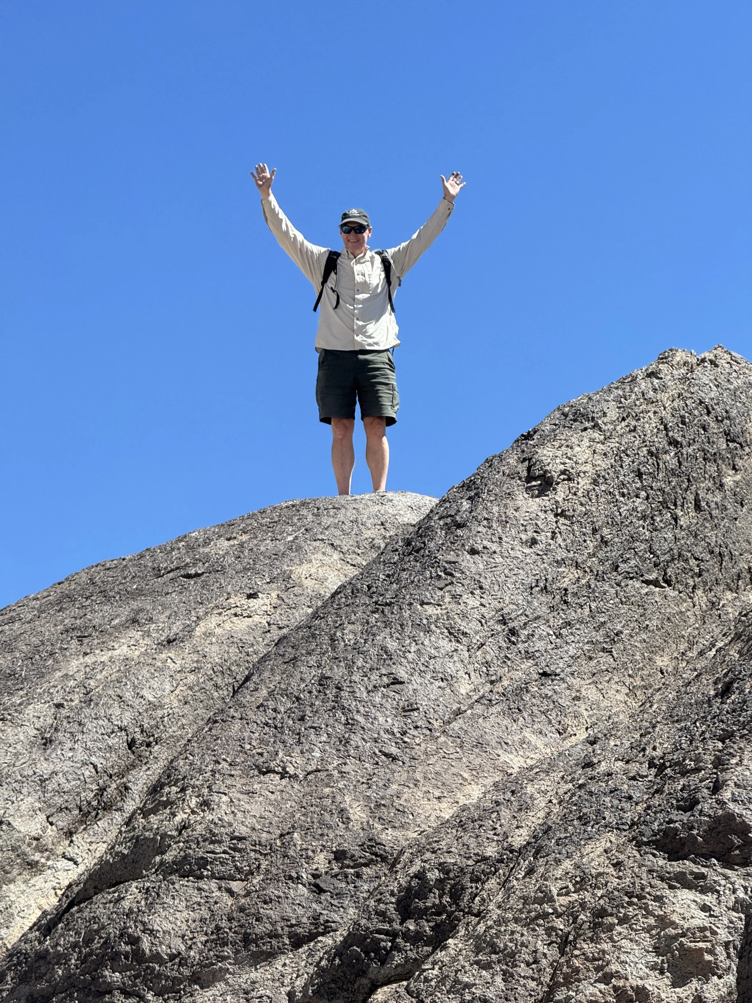
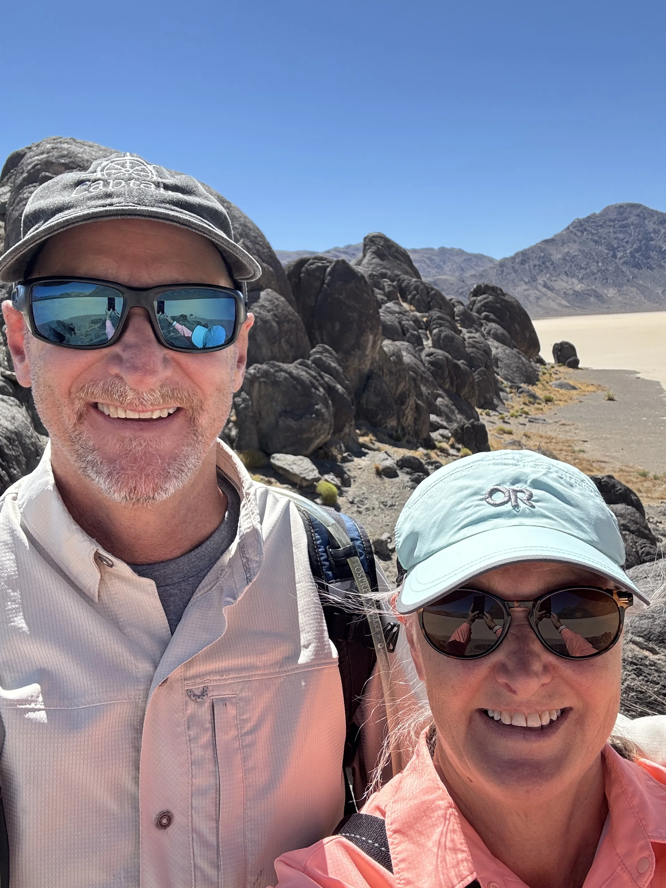
The Racetrack Playa is one of the park's most fascinating landscapes, home to both the Grandstand—a large island-like outcrop of quartz monzonite rising from the playa—and the famous moving rocks.
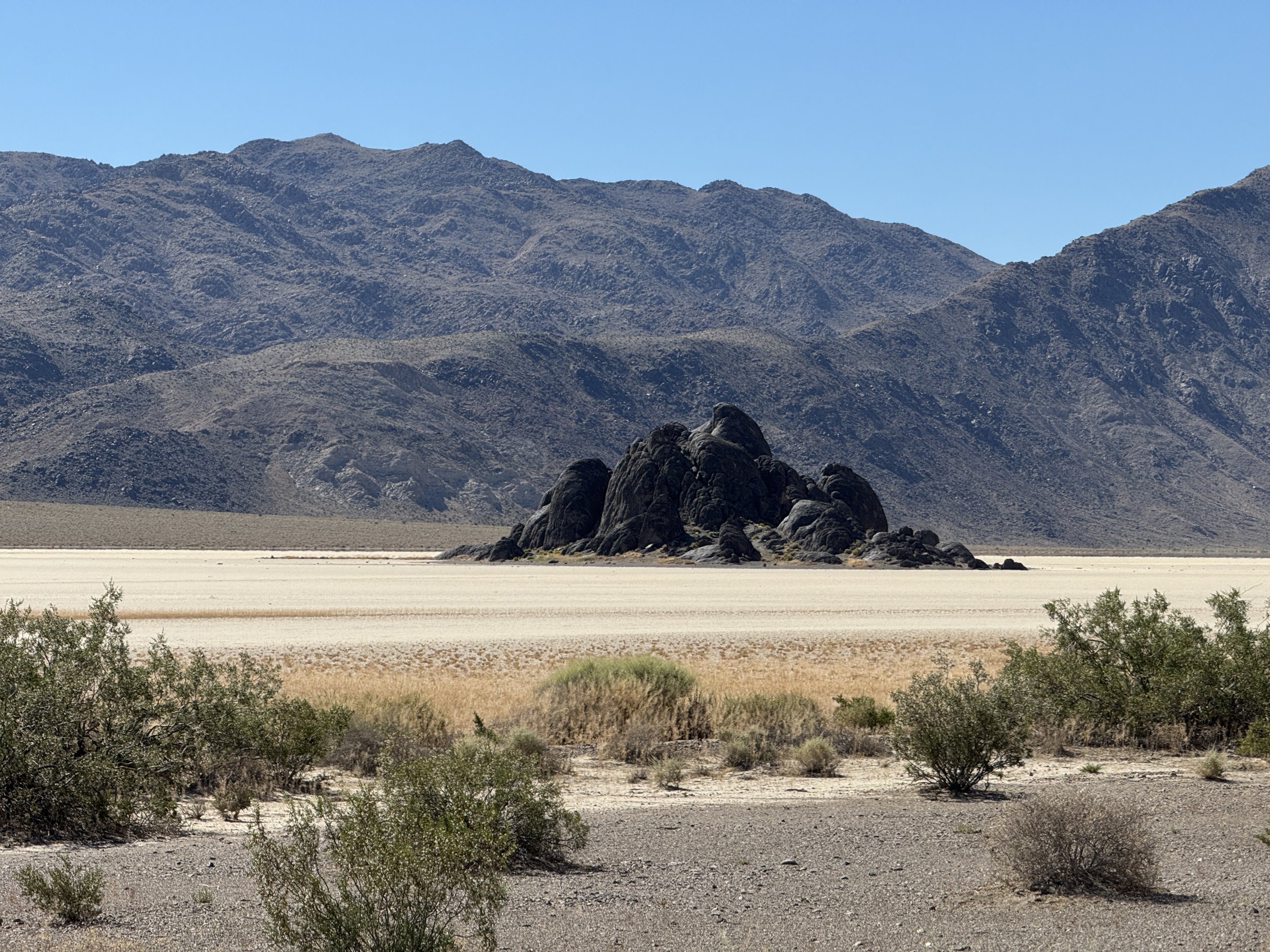
the Grandstand
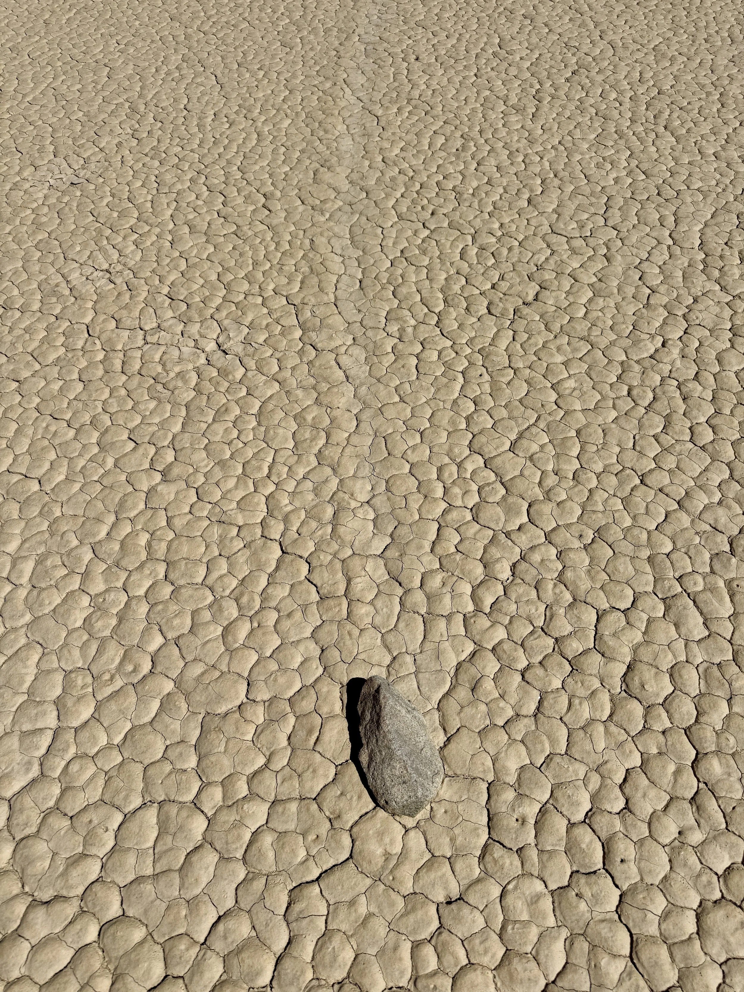
The rocks tumble down from the surrounding mountains onto the racetrack playa, a dry lakebed, where they mysteriously move across the flat surface, leaving long trails behind them. For decades, no one knew exactly how the rocks moved, but in 2014 researchers finally solved the mystery. When the playa fills with just the right amount of water and temperatures drop below freezing, a thin sheet of ice forms that is deep enough to float but shallow enough that the rocks still protrude above the surface. As the morning sun warms the ice, it breaks into large floating panels that are pushed by the wind, shoving the rocks across the muddy playa and leaving their distinctive tracks behind. We hiked out to the Grandstand for a panoramic view of the playa, then continued to the southern end where we found several of the famous moving rocks with their trails stretching out behind them. Most of the rocks were surprisingly small, only about the size of my foot.
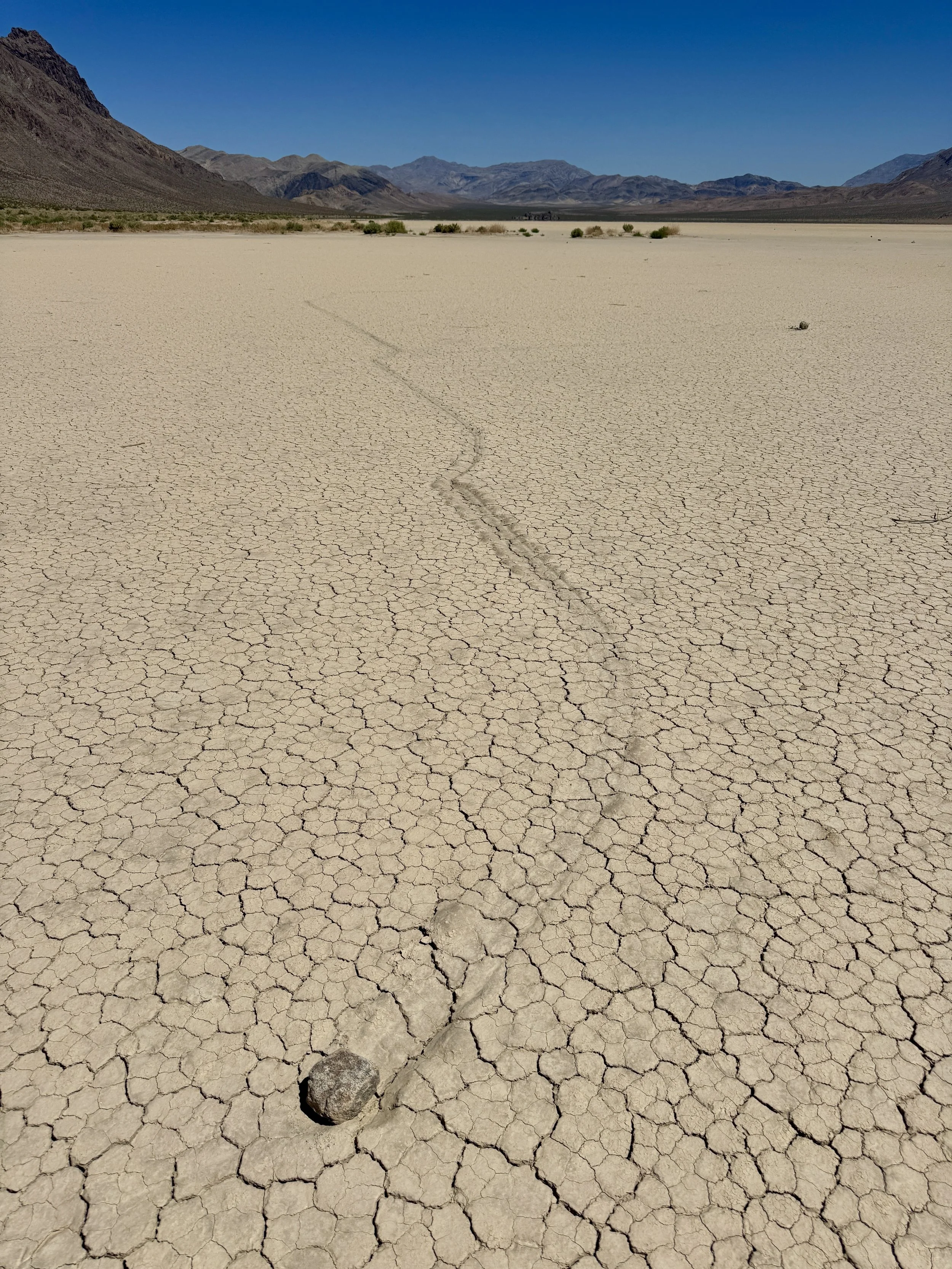
rock & trail on the Racetrack playa
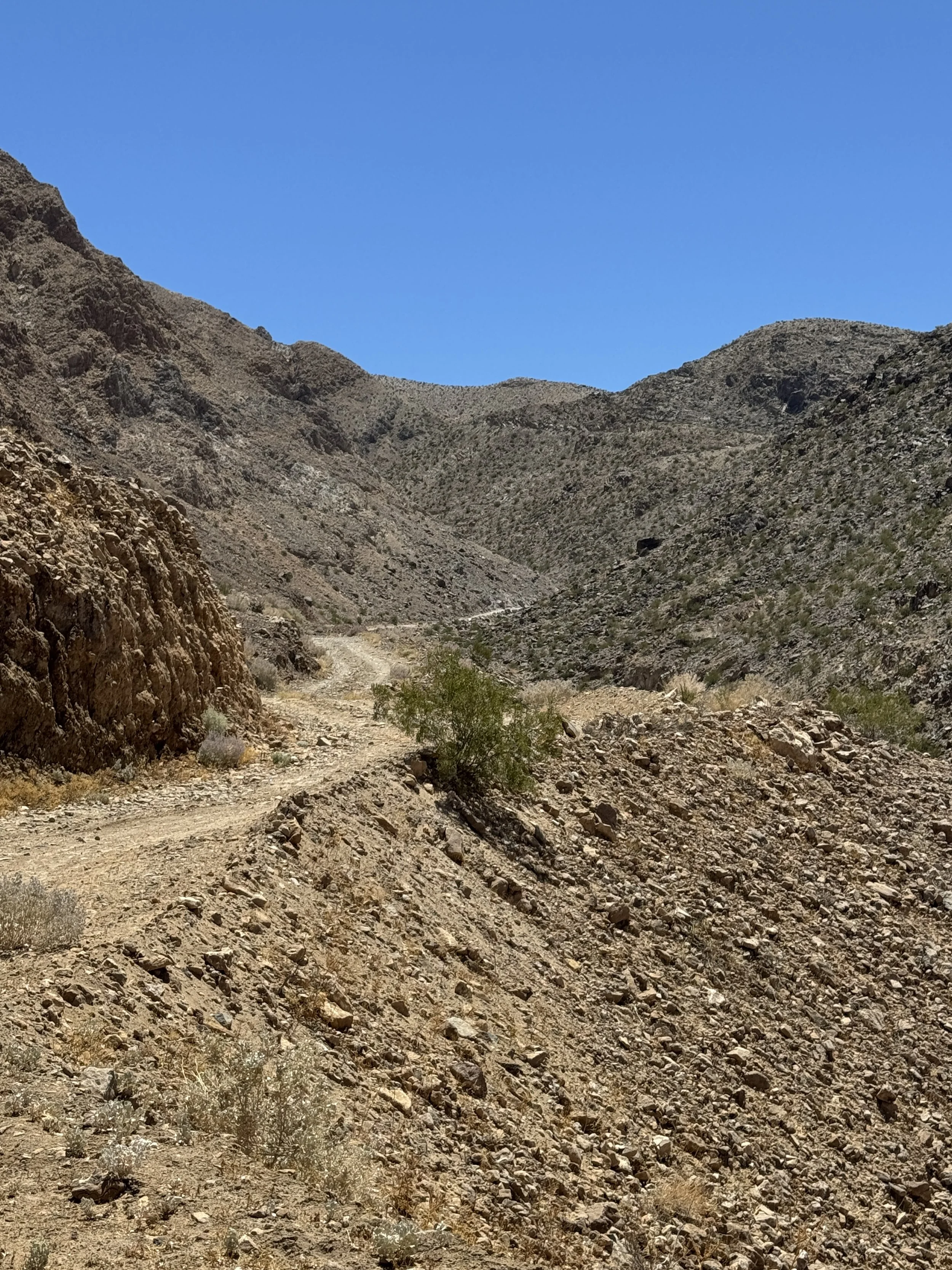
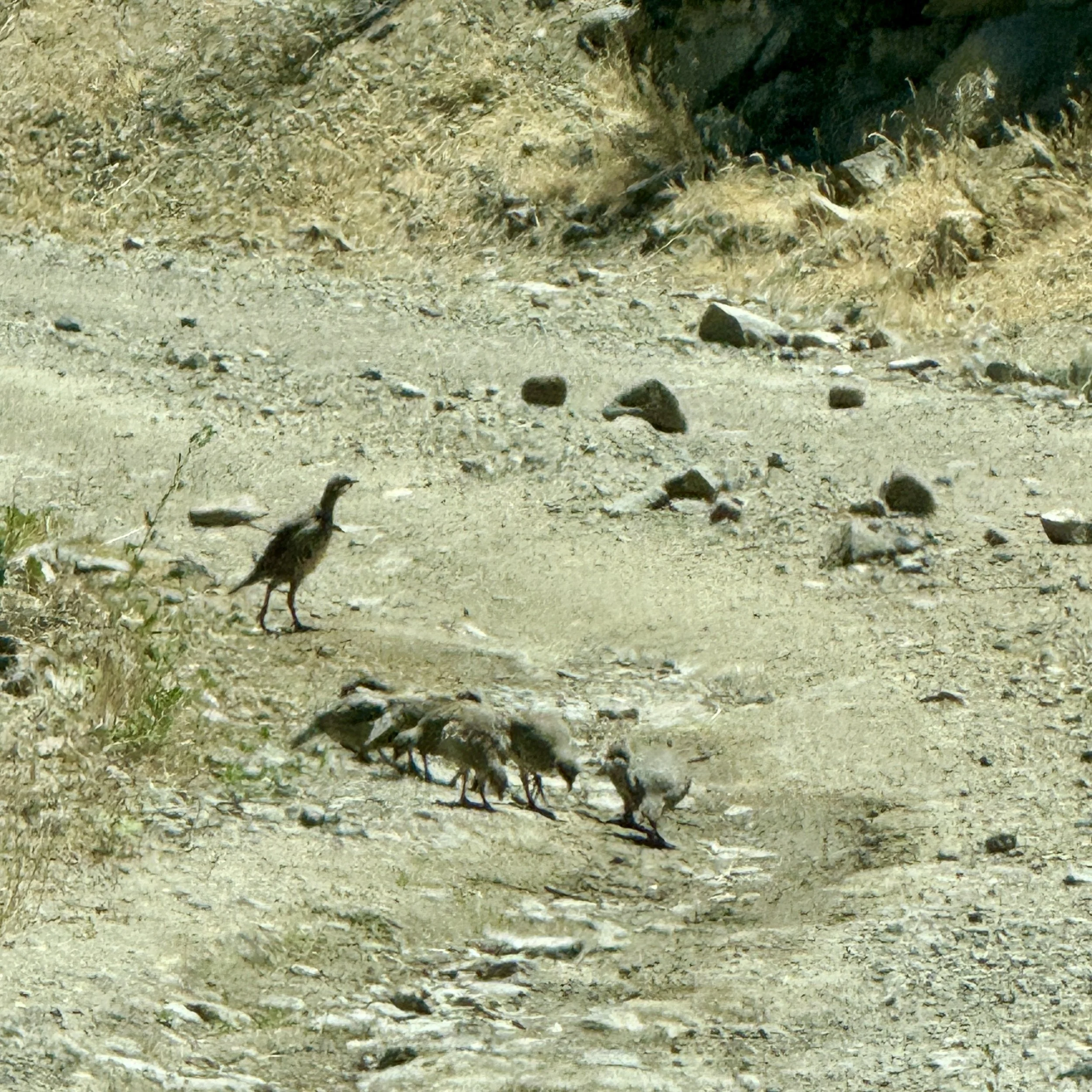
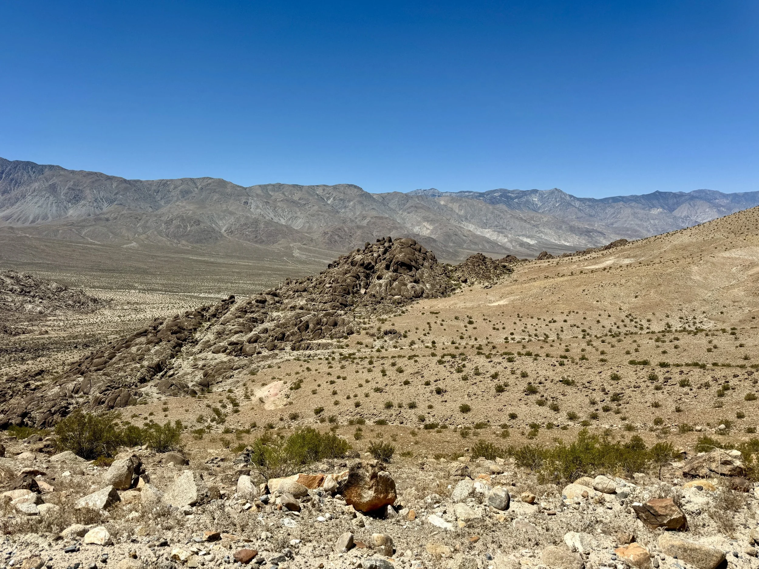
After visiting the Racetrack, instead of backtracking the way we came, we continued over the mountain pass on another 30 to 40 miles of rough 4x4 road before finally reaching pavement again. The route took us through a Joshua tree forest and past a small spring-fed oasis where we found a flock of chukars, quail-like birds that seemed completely at home in the desert landscape. The drive itself was an adventure, with spectacular scenery and a true sense of isolation. We spent about seven hours exploring this remote part of Death Valley without seeing another person or even another vehicle. It was one of those rare experiences where you really feel like you have the entire desert to yourself.
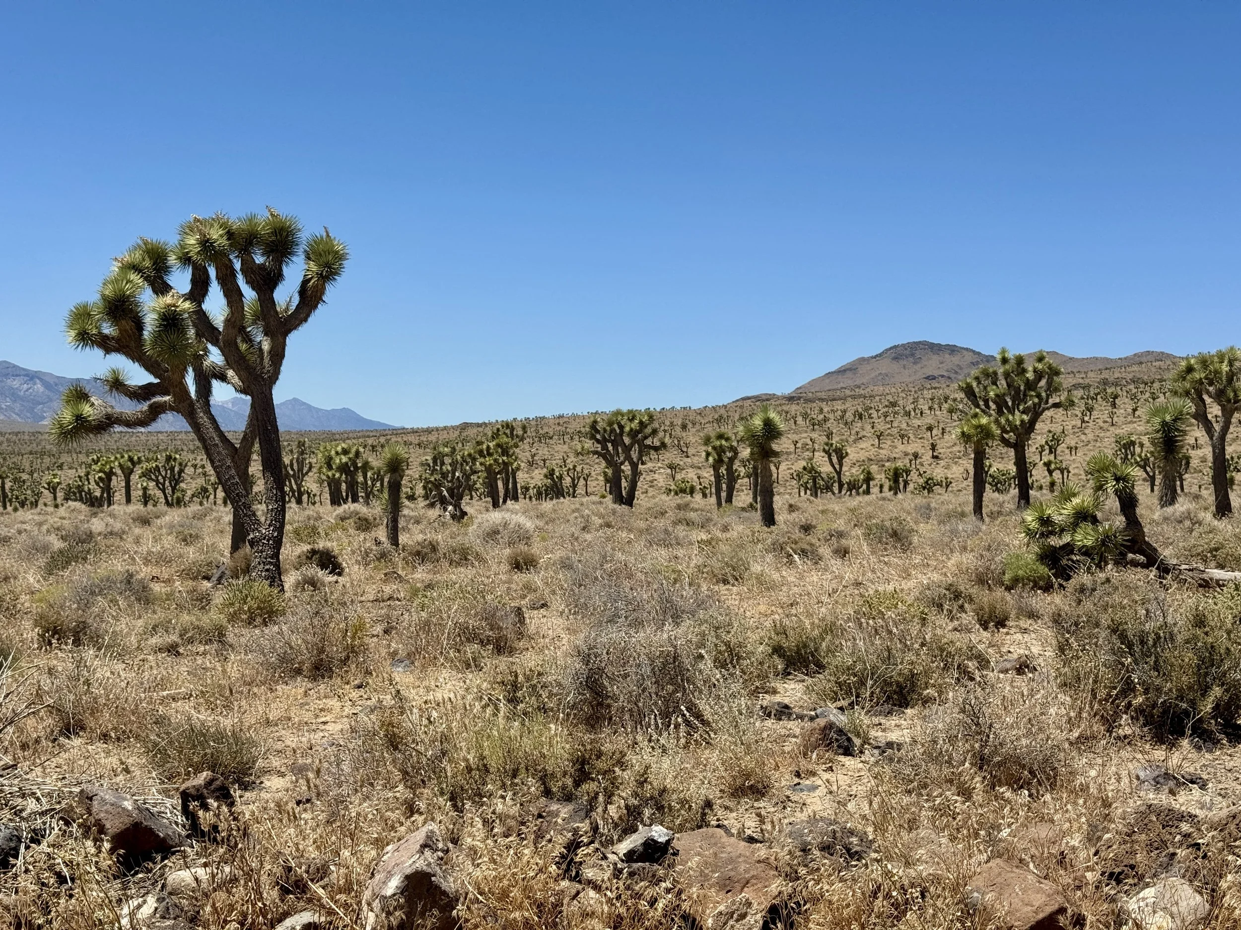
Joshua trees
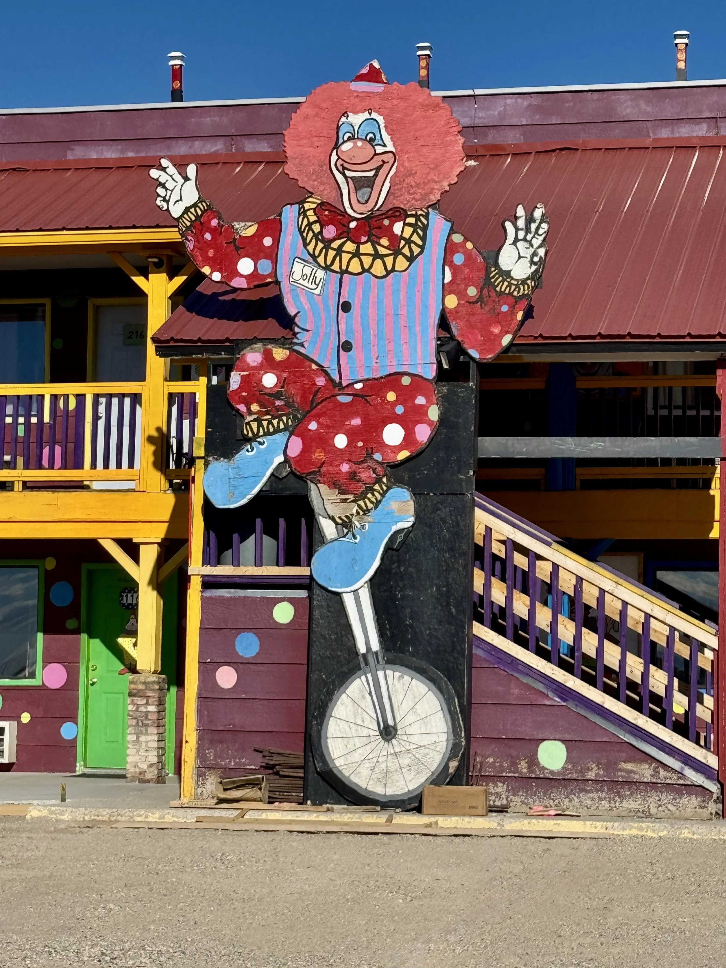
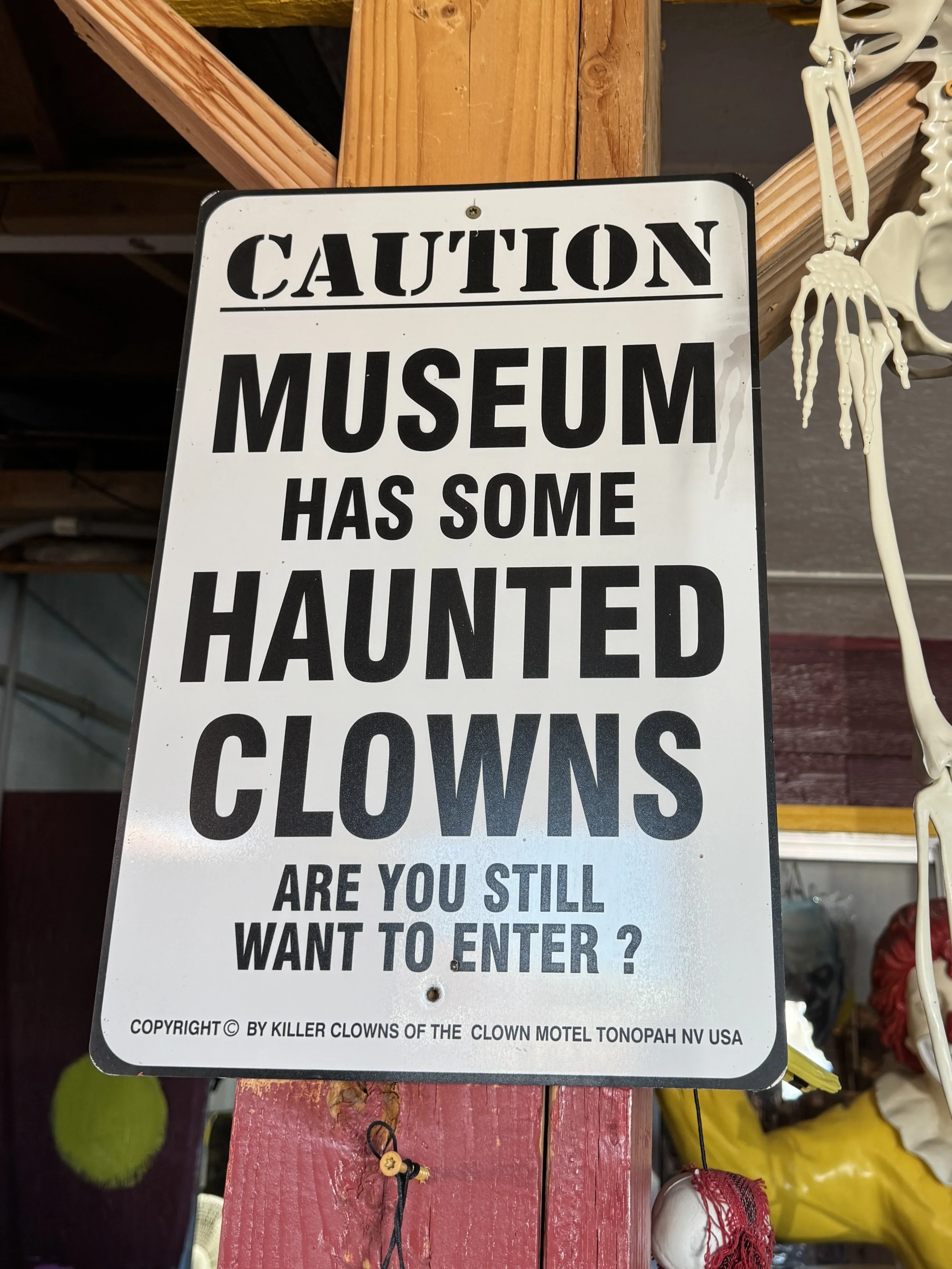
Part of the fun of our travels is getting to the next destination, and because the parks are often so far apart, we frequently split the drive into two days. Our trip to Death Valley was one of those times, and you never know what interesting places you'll discover during an overnight stop. This time we found ourselves in the small town of Tonopah, Nevada, home to the famous Clown Motel and the historic Tonopah Cemetery. The motel fully embraces its clown theme, with clown decorations everywhere, plus a small clown museum and gift shop.
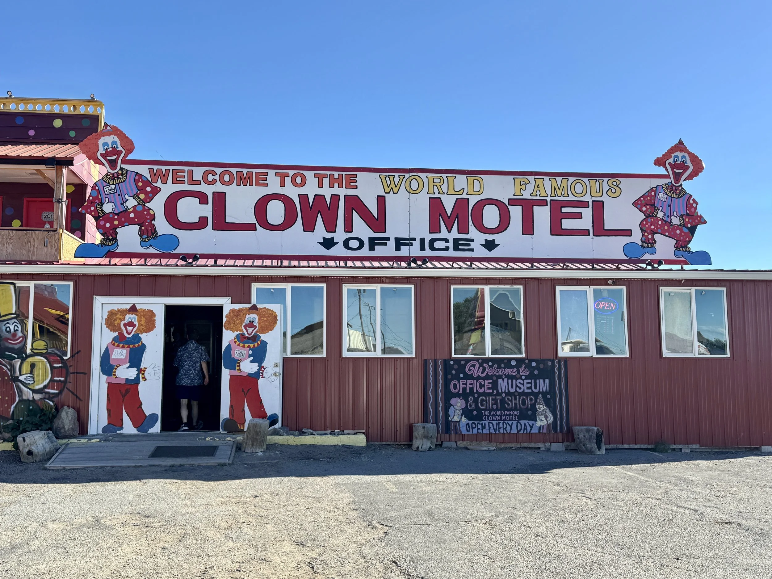
Clown Motel
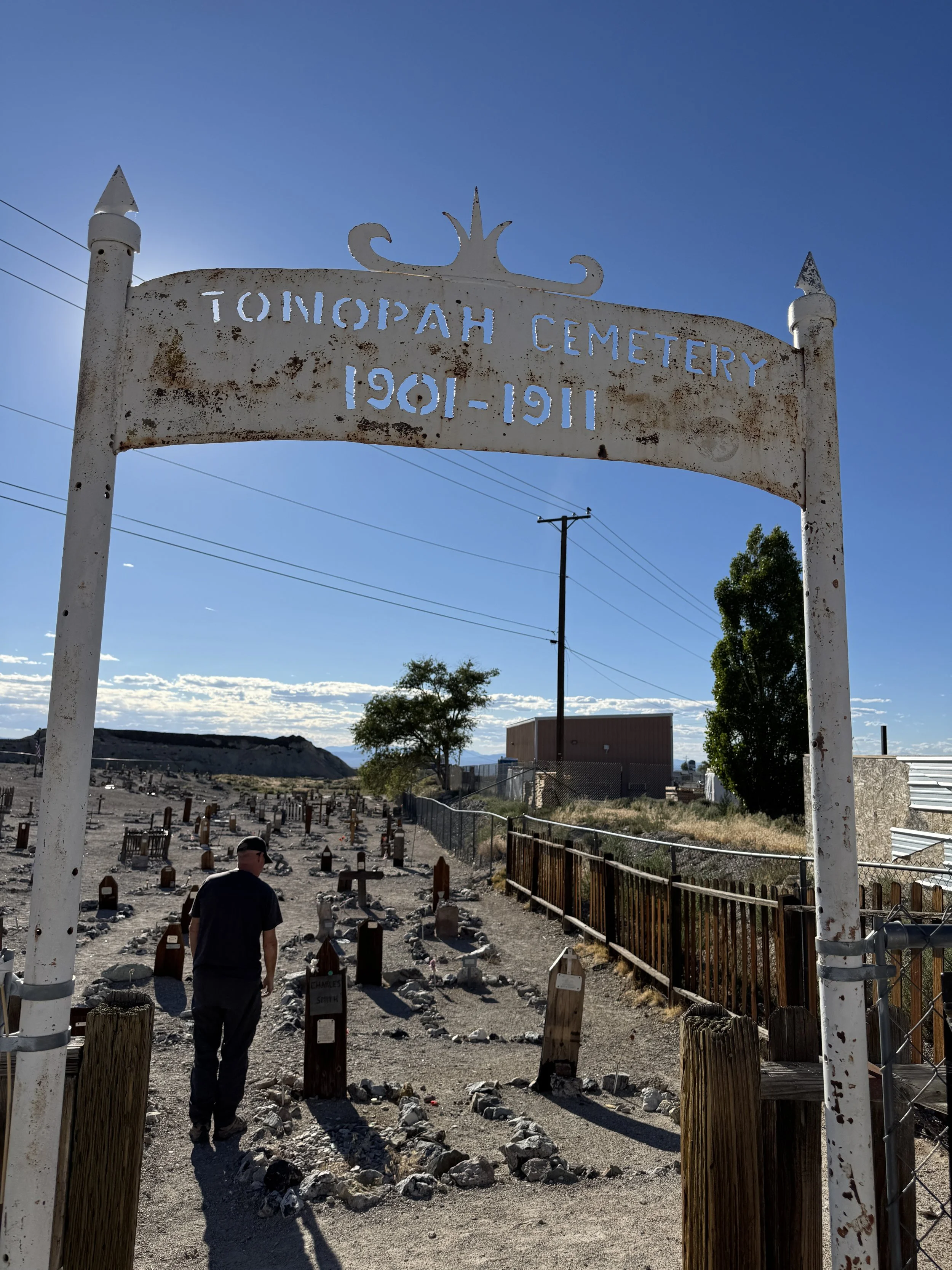
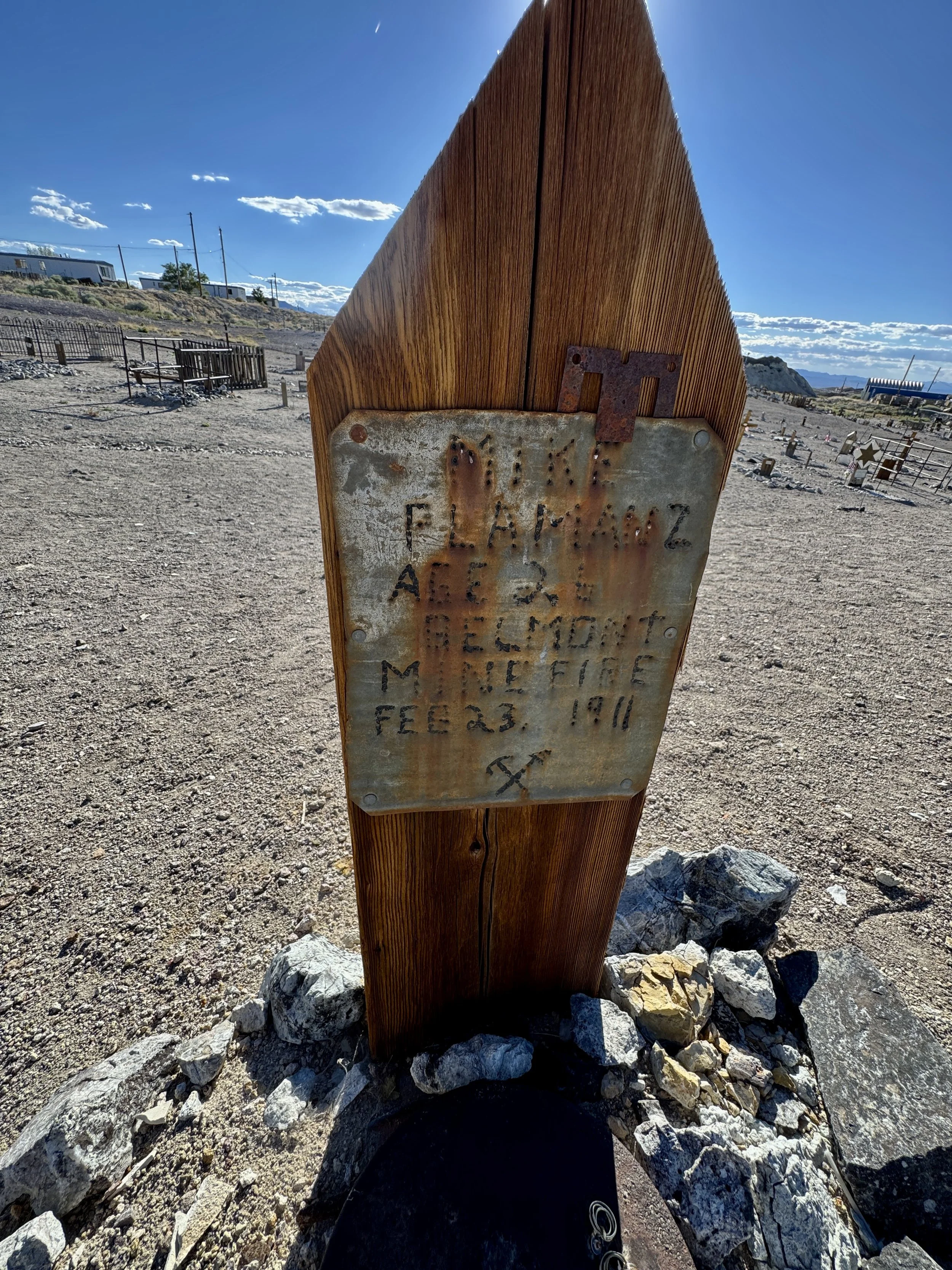
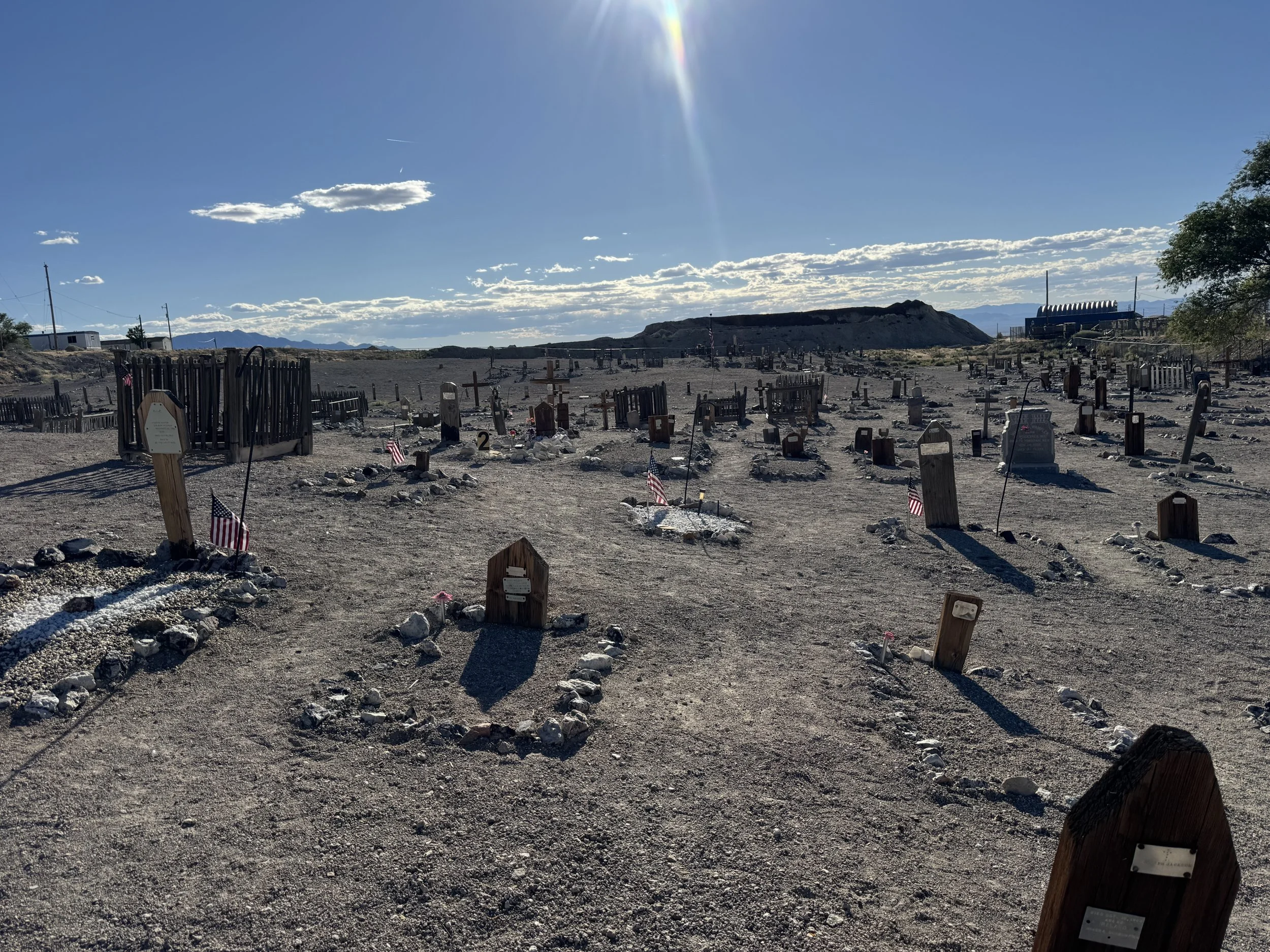
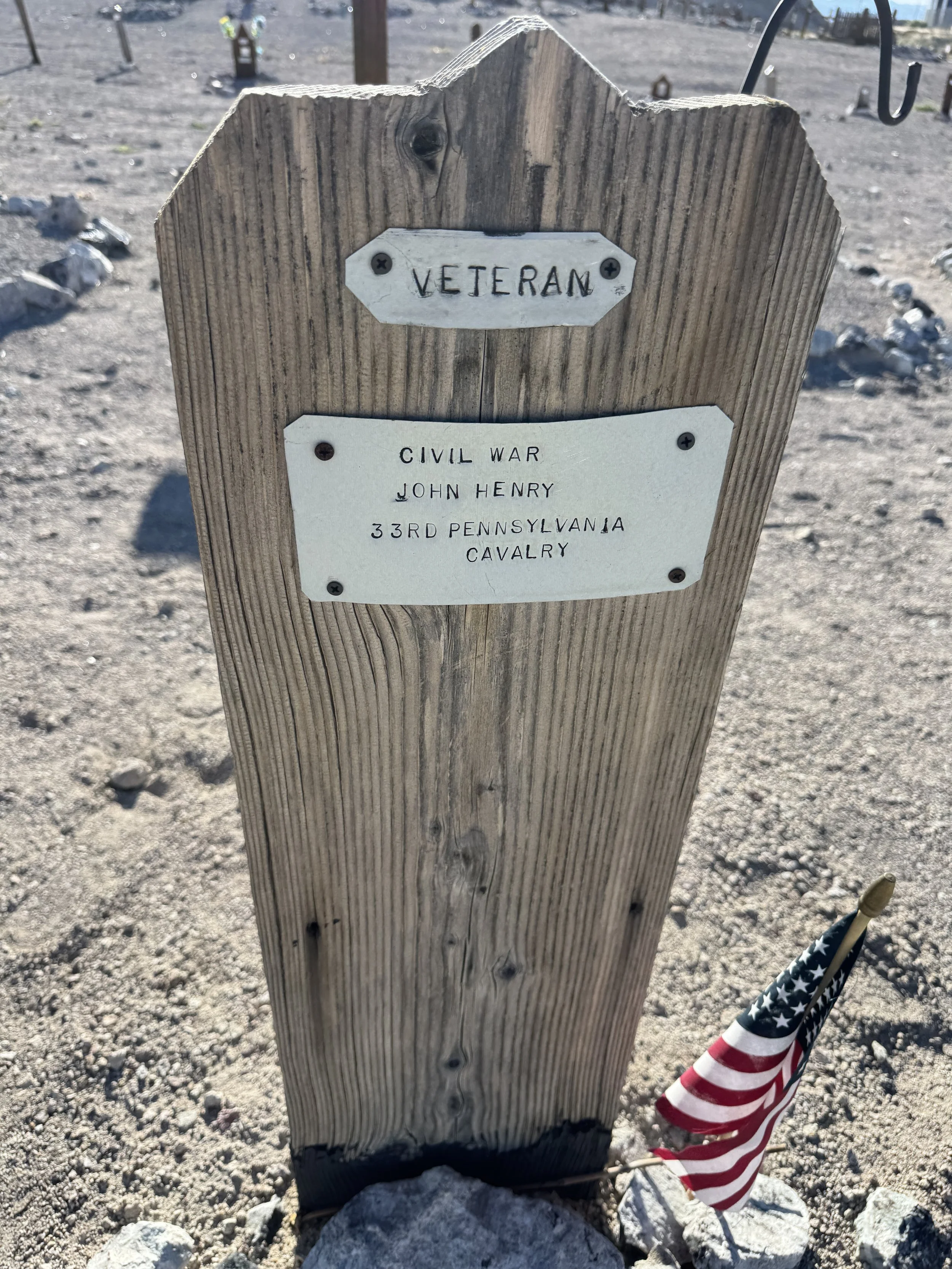
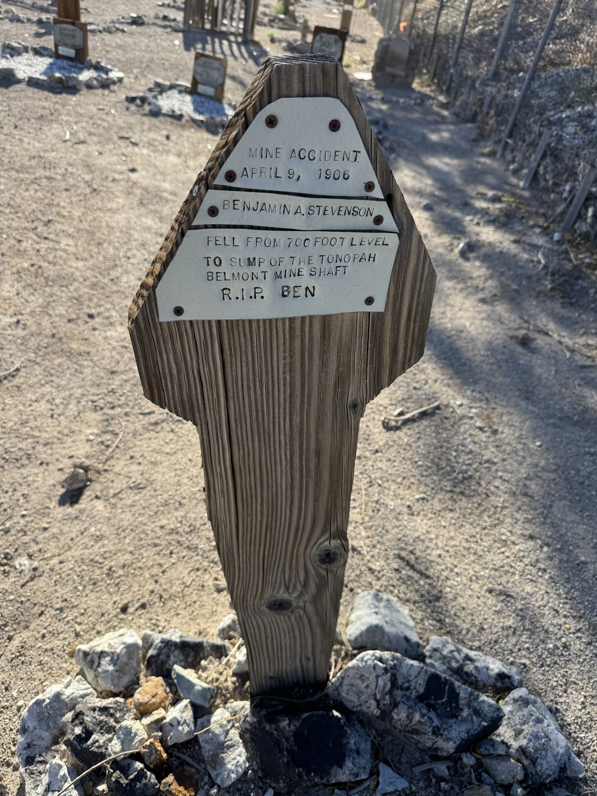
Right next door is the old cemetery, where you can wander among graves dating from 1901 to 1911. In addition to the original headstones, small metal plaques have been added to make the names and dates easier to read. The plaques also list each person's cause of death, which made for a fascinating glimpse into the town's mining history. We read about deaths from mining accidents, stabbings, and suicide, as well as many diseases that are thankfully treatable today.
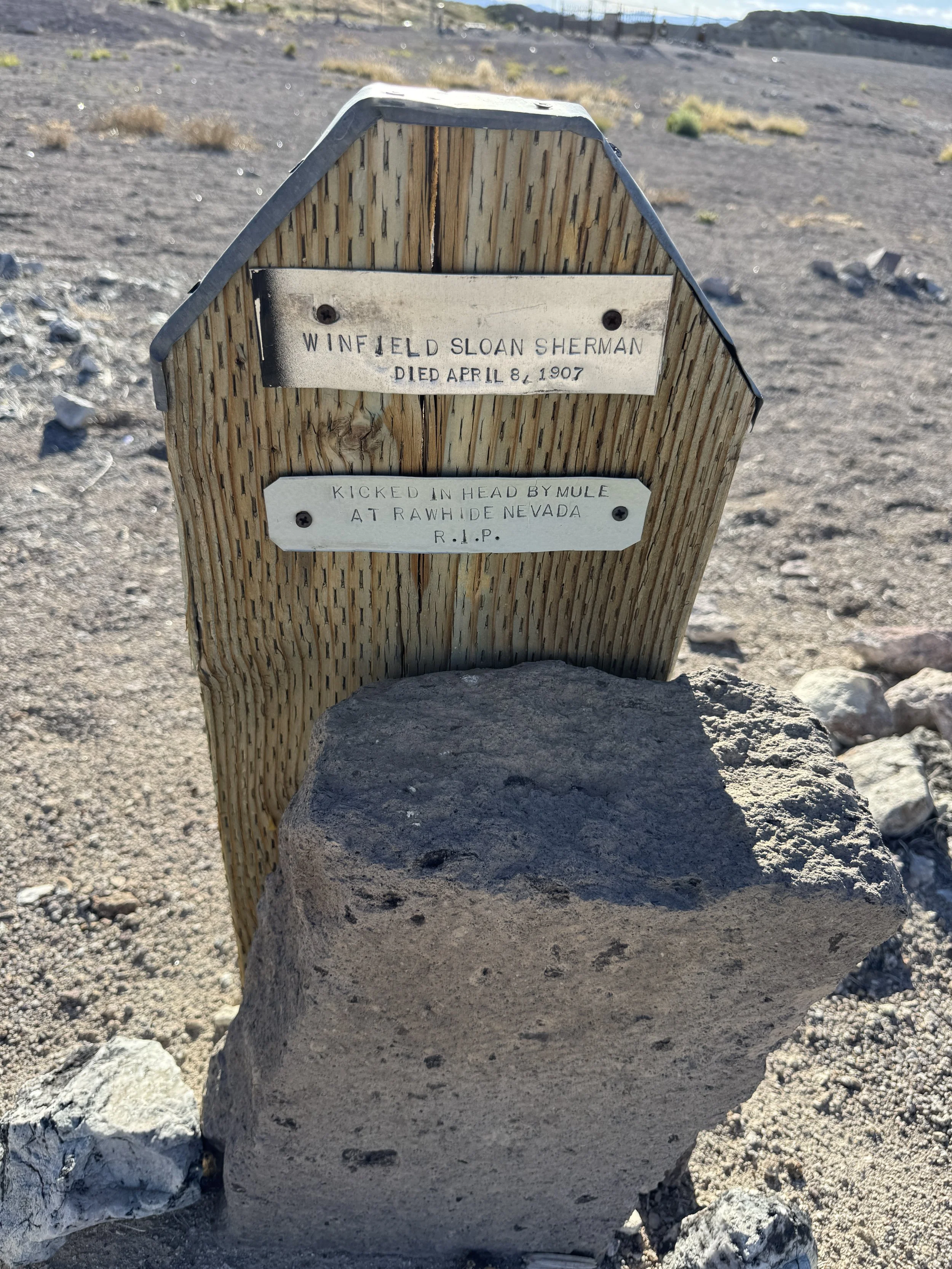
grave at Tonopah Cemetery
As we continue our way to the west coast, who knows what other hidden gems and unexpected adventures we'll discover along the way.